- Home
- :
- All Communities
- :
- Products
- :
- Data Management
- :
- Data Management Questions
- :
- Re: domain
- Subscribe to RSS Feed
- Mark Topic as New
- Mark Topic as Read
- Float this Topic for Current User
- Bookmark
- Subscribe
- Mute
- Printer Friendly Page
- Mark as New
- Bookmark
- Subscribe
- Mute
- Subscribe to RSS Feed
- Permalink
I have created a feature class in WGS84 with default settings.
There is default domain created as below. What does it mean ?
xmin, xmax (-400, 9006799.25474099)
ymin, ymax (-400, 9006799.25474099)
Solved! Go to Solution.
Accepted Solutions
- Mark as New
- Bookmark
- Subscribe
- Mute
- Subscribe to RSS Feed
- Permalink
That's the domain and tolerance page, not the extent.

That domain is the min & max limits to the GCS vales allowed in the feature class.
- Mark as New
- Bookmark
- Subscribe
- Mute
- Subscribe to RSS Feed
- Permalink
looks like a weird extent which doesn't make sense given the coordinate system. Can you provide some context... is the geodatabase in the same wgs84 coordinate reference?
- Mark as New
- Bookmark
- Subscribe
- Mute
- Subscribe to RSS Feed
- Permalink
Is it GCS_WGS_1984? Looks like you have defined a Projected Coordinate System with datum WGS_1984.
It would be helpful if you could share the screenshot of the spatial reference of the feature Class/layer.
Think Location


- Mark as New
- Bookmark
- Subscribe
- Mute
- Subscribe to RSS Feed
- Permalink
What is the dataframe? the geodatabase?
- Mark as New
- Bookmark
- Subscribe
- Mute
- Subscribe to RSS Feed
- Permalink
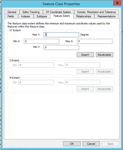
You can change XY extents from feature class properties,
Are you able to do that or still have an issue..
- Mark as New
- Bookmark
- Subscribe
- Mute
- Subscribe to RSS Feed
- Permalink
Does this feature class have any features in it yet? When I create an empty feature class using WGS 84 I get:
- Mark as New
- Bookmark
- Subscribe
- Mute
- Subscribe to RSS Feed
- Permalink
I think GCS domain is -180, -90, 180, 90, please advice