Turn on suggestions
Auto-suggest helps you quickly narrow down your search results by suggesting possible matches as you type.
Cancel
- Home
- :
- All Communities
- :
- Products
- :
- Data Management
- :
- Data Management Questions
- :
- create mosaic dataset with nitf wv-2
Options
- Subscribe to RSS Feed
- Mark Topic as New
- Mark Topic as Read
- Float this Topic for Current User
- Bookmark
- Subscribe
- Mute
- Printer Friendly Page
create mosaic dataset with nitf wv-2
Subscribe
907
0
12-13-2012 10:09 AM
12-13-2012
10:09 AM
- Mark as New
- Bookmark
- Subscribe
- Mute
- Subscribe to RSS Feed
- Permalink
Hello,
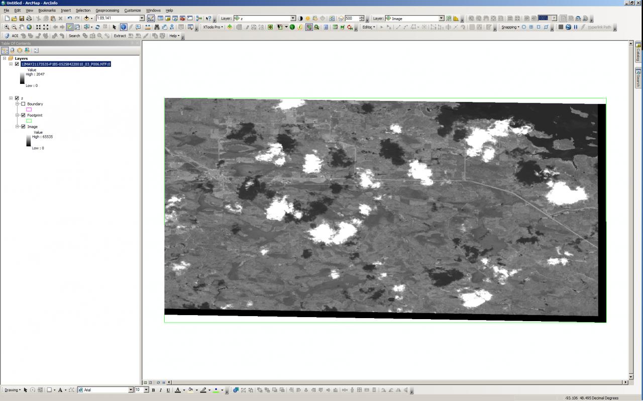
I'm having a problem creating a mosaic dataset using nitf (WV-2) imagery. I created a file geodatabase, created a mosaic dataset, added the first raster using nitf as the raster type. Then, following the help file, I brought in the same raster choosing WV-2 as the sensor type. The resulting mosaic dataset shows up white (nodata values) inside ArcMap (see attached image-nodata). If I click inside the footprint, the values for inside the footprint are all 'nodata.' If I just add the image through the 'add data' dialog, it shows up fine (see attached image-adddata).
Any ideas?
Thanks
-al
0 Replies