Turn on suggestions
Auto-suggest helps you quickly narrow down your search results by suggesting possible matches as you type.
Cancel
- Home
- :
- All Communities
- :
- Products
- :
- Data Management
- :
- Data Management Questions
- :
- Re: ArcSDE Feature Class -Report
Options
- Subscribe to RSS Feed
- Mark Topic as New
- Mark Topic as Read
- Float this Topic for Current User
- Bookmark
- Subscribe
- Mute
- Printer Friendly Page
ArcSDE Feature Class -Report
Subscribe
4067
5
03-05-2014 10:57 PM
03-05-2014
10:57 PM
- Mark as New
- Bookmark
- Subscribe
- Mute
- Subscribe to RSS Feed
- Permalink
Hi,
I am looking for a tool (ArcGIS 10.2) to create a database report of all feature classes within multiple SDE databases.
Something similar to Database Reporter in ArcGIS 9.
Regards,
Stefan
[email protected]
I am looking for a tool (ArcGIS 10.2) to create a database report of all feature classes within multiple SDE databases.
Something similar to Database Reporter in ArcGIS 9.
Regards,
Stefan
[email protected]
5 Replies
03-06-2014
12:31 AM
- Mark as New
- Bookmark
- Subscribe
- Mute
- Subscribe to RSS Feed
- Permalink
i am personally not aware of a tool.
however you can use python script: http://resources.arcgis.com/en/help/main/10.2/index.html#//018v00000018000000
and you can use modelbuilder for automation.
however you can use python script: http://resources.arcgis.com/en/help/main/10.2/index.html#//018v00000018000000
and you can use modelbuilder for automation.
03-06-2014
01:33 AM
- Mark as New
- Bookmark
- Subscribe
- Mute
- Subscribe to RSS Feed
- Permalink
To further add on to what Emad said,
You can refer this Technical Article:
HowTo: Print the list of feature classes for an ArcSDE geodatabase.
You can refer this Technical Article:
HowTo: Print the list of feature classes for an ArcSDE geodatabase.
03-06-2014
02:37 AM
- Mark as New
- Bookmark
- Subscribe
- Mute
- Subscribe to RSS Feed
- Permalink
Why not just query the geodatabases directly with SQL if you have the credentials for the SDE user? Here's an example of a query that can be used for an Oracle database (tested with 11.2.0.2.0 and ArcSDE 10.2.1):
You would run the query above in every database to get a report of the object classes that are registered with the geodatabase. It will identify whether the object class is a table, feature class, or raster. If you want to get fancy and you have Oracle, you can create DB links and UNION multiple queries together (one for each database) in order to run it against all databases at once.
The query above would only require minor edits to work with SQL Server, as well. If you databases are all in the same instance, you could UNION multiple queries together just like with Oracle... except with SQL Server there are no DB links. Instead, you'd simply need to qualify your table references in the query above with DATABASE.SCHEMA.TABLE_NAME syntax.
SELECT r.OWNER, r.TABLE_NAME,
CASE
    WHEN r.OBJECT_FLAGS IN ('3','11','2051','4099','0','24583','8195') THEN 'TABLE'
    WHEN r.OBJECT_FLAGS IN ('7','15','16391','16399','114693','114703') THEN 'FEATURE CLASS'
    WHEN r.OBJECT_FLAGS IN ('71') THEN 'RASTER'
END OBJECT_FLAGS
FROM (
SELECT OWNER, TABLE_NAME, OBJECT_FLAGS
FROM SDE.TABLE_REGISTRY
ORDER BY OWNER, TABLE_NAME) r
FULL JOIN SDE.LAYERS l ON l.OWNER = r.owner AND l.TABLE_NAME = r.TABLE_NAME;
You would run the query above in every database to get a report of the object classes that are registered with the geodatabase. It will identify whether the object class is a table, feature class, or raster. If you want to get fancy and you have Oracle, you can create DB links and UNION multiple queries together (one for each database) in order to run it against all databases at once.
The query above would only require minor edits to work with SQL Server, as well. If you databases are all in the same instance, you could UNION multiple queries together just like with Oracle... except with SQL Server there are no DB links. Instead, you'd simply need to qualify your table references in the query above with DATABASE.SCHEMA.TABLE_NAME syntax.
03-06-2014
08:42 AM
- Mark as New
- Bookmark
- Subscribe
- Mute
- Subscribe to RSS Feed
- Permalink
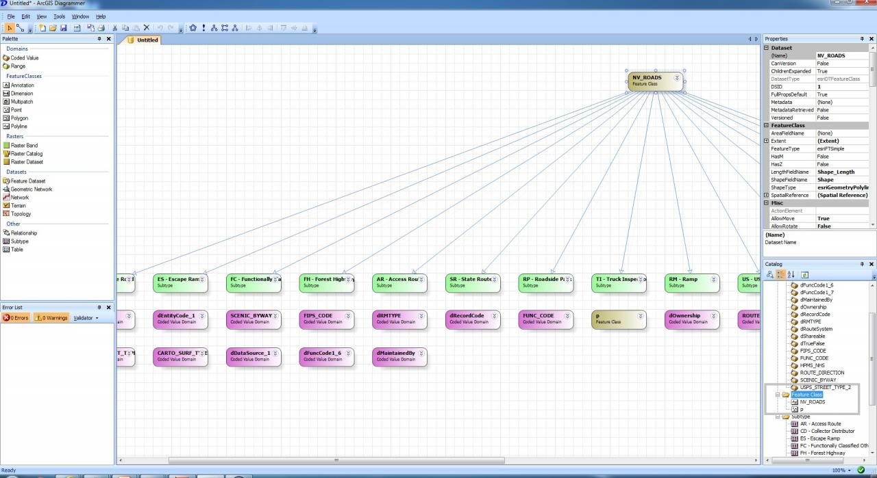
There is also the ArcGIS X-Ray tool that can report and manipulate geodatabase structure:
X-Ray for ArcCatalog (ArcGIS 10.2)
X-Ray for ArcCatalog (ArcGIS 10.2)