- Home
- :
- All Communities
- :
- Products
- :
- Data Management
- :
- Data Management Questions
- :
- Analyse data geolocated in different spatial parti...
- Subscribe to RSS Feed
- Mark Topic as New
- Mark Topic as Read
- Float this Topic for Current User
- Bookmark
- Subscribe
- Mute
- Printer Friendly Page
Analyse data geolocated in different spatial partitions (polygons + pointss)
- Mark as New
- Bookmark
- Subscribe
- Mute
- Subscribe to RSS Feed
- Permalink
Hi everybody!
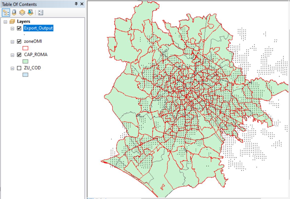
I have to analyse data referred to different spatial partition of a city: some data belong to ZIP code areas, others to neighborhoods, others to an administrative division of the city, others are in a sort of grid.. They overlap in certain points but have different shapes.
How do you recomend me to procede?
My first idea is to chose a partition (the one that has bigger areas) and "convert" some partitions into it (es. spatial join or through centroids relocation). Another idea is to convert everything in a grid and then analyze not considering areas but more buffer zones.
Any suggestion is highly appreciated, thank you!
- Mark as New
- Bookmark
- Subscribe
- Mute
- Subscribe to RSS Feed
- Permalink
What is the attribute you are trying to analyze?
Is the same attribute being collected using the different spatial collection methods?
... sort of retired...
- Mark as New
- Bookmark
- Subscribe
- Mute
- Subscribe to RSS Feed
- Permalink
Hi Dan, thanks for answering.
I am analysing socio-demographic patterns in the city. Different layers, with different territorial partitions, have different attributes like: presence of foreign students, hotels, price of houses, ecc.
What do you suggest? Maybe put all in grids is the best?
Thank you for your answer 🙂
- Mark as New
- Bookmark
- Subscribe
- Mute
- Subscribe to RSS Feed
- Permalink
I would pay some attention to how you are going to have to represent some of the data since some spatial patterns may need to be aggregated while others may need to be potentially over-represented.
... sort of retired...