- Home
- :
- All Communities
- :
- User Groups
- :
- Coordinate Reference Systems
- :
- Questions
- :
- Projection Problems
- Subscribe to RSS Feed
- Mark Topic as New
- Mark Topic as Read
- Float this Topic for Current User
- Bookmark
- Subscribe
- Mute
- Printer Friendly Page
Projection Problems
- Mark as New
- Bookmark
- Subscribe
- Mute
- Subscribe to RSS Feed
- Permalink
I am using ArcMaps 10.3 and know just enough to get into trouble. I went to upload line shape files into a Garmin Montana GPS unit (through the DNR GPS application from Minnesota DNR), and discovered that most files are projected in stereographic south pole. I didn't even know that was a projection, and have no idea how it happened, especially since we have transferred these files to the GPS before with no problems. When I checked the projections of the layers in the map I'm trying to upload, I found out that there were a combination of three GCS and projections. All of the layers match on the map in the program, but not when I upload the files into the GPS. I have two questions:
1. How could the projection be changed to something so seemingly random? (If it had been WGS 1984, NAD 1983 or even Nebraska State Plane, that would have made more sense as those are the GCS/projections I use.)
2. Is there a simpler way to fix it than redrawing each line and saving it as a shape file with the corrected projection? I tried define projection and project tools, but neither matched up with the map or uploaded in the GPS correctly.
- Mark as New
- Bookmark
- Subscribe
- Mute
- Subscribe to RSS Feed
- Permalink
If you add these supposedly reprojected features to a new map, where do they appear in the world?
The coord sys of a feature doesn't just change itself. Someone did it!
But wondering if they have been really reprojected or just redefined (the wrong thing to do).
Where is the data supposed to be?
- Mark as New
- Bookmark
- Subscribe
- Mute
- Subscribe to RSS Feed
- Permalink
They still appear in the correct place - Bellevue, Nebraska. I know that someone did it, but I don't know when or how. The problem comes when I load the shapefile onto a GPS unit, where it projects the files to the South Pole.
- Mark as New
- Bookmark
- Subscribe
- Mute
- Subscribe to RSS Feed
- Permalink
A gps natively works in geographic coordinates (aka decimal degrees) with a wgs84 datum. Set the gps to that and you can get your coordinates back in decimal degrees, then set to your desired projection. It would be advisable to let arcmap do the physical projection to a new file... I am not sure what projection engine DNRGPS uses, but it is great for handling your gps needs. So again, I would download in decimal degrees, then project to a new file in arcmap just to be on the safe side.
- Mark as New
- Bookmark
- Subscribe
- Mute
- Subscribe to RSS Feed
- Permalink
Yes,
use re-project in the tool box back to GCS_WGS84. This is always the best way to get data into a Garmin.
- Mark as New
- Bookmark
- Subscribe
- Mute
- Subscribe to RSS Feed
- Permalink
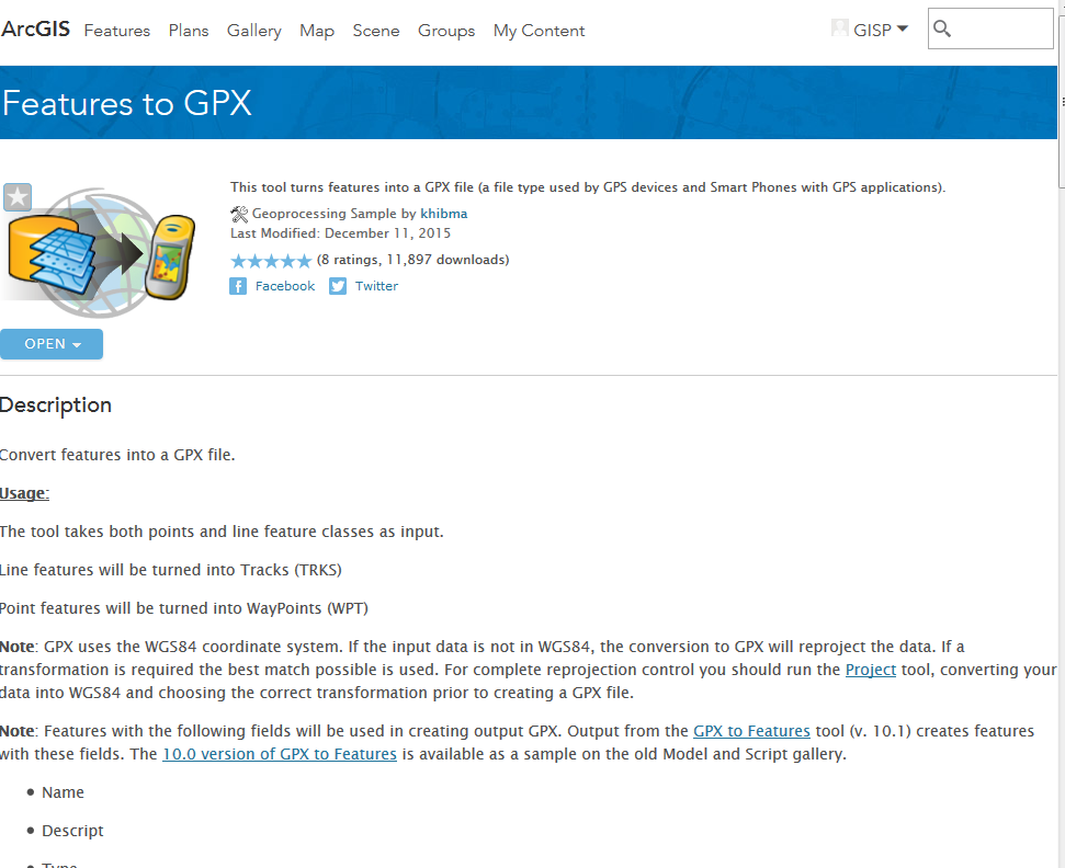
For what it's worth, http://www.arcgis.com/home/item.html?id=067d6ab392b24497b8466eb8447ea7eb is a FeatureToGPX sample toolbox that I plan to look at for next year. It was last modified Dec 2015, so isn't too old and may be worth looking at.