- Home
- :
- All Communities
- :
- User Groups
- :
- Coordinate Reference Systems
- :
- Questions
- :
- Re: Microstation File to ArcMap 10.2
- Subscribe to RSS Feed
- Mark Topic as New
- Mark Topic as Read
- Float this Topic for Current User
- Bookmark
- Subscribe
- Mute
- Printer Friendly Page
- Mark as New
- Bookmark
- Subscribe
- Mute
- Subscribe to RSS Feed
- Permalink
I've read some past posts on this but I still can't fix the problem I am having. The worst part is that I have successfully moved this exact file into the correct location from Microstation to ArcMap many months ago, but now am having trouble recreating that.
Starting in Microstation, the file has no geographic location data. I then use the CAD to Geodatabase tool to bring the DGN file into ArcMap. In the field "Spatial Reference (Optional)" on the CAD to Geodatabase tool window, should I enter in my desired output Coordinate System or bring it in without one?
The picture attached "Input" shows how the the correct shapefile and the shapefile I am trying to bring into ArcMap to match it are in different locations, but have the same coordinate systems.
If further information is needed to answer this question please let me know.
Thank You!
Solved! Go to Solution.
Accepted Solutions
- Mark as New
- Bookmark
- Subscribe
- Mute
- Subscribe to RSS Feed
- Permalink
Saving the file as a .DXF extension in Microstation and then bringing the DXF into ArcMap places the file in the correct location. I guess from now on I will do it this way. Thank You everyone for the help.
- Mark as New
- Bookmark
- Subscribe
- Mute
- Subscribe to RSS Feed
- Permalink
Question: does the DGN file have coordinates captures in NAD_1927_StatePlane_Florida_West_FIPS_0902? Or is this coordinate system the one that you want to obtain finally? In cause that the coordinates are captured in a different coordinate system you would require to define that coordinate system and then project the data to the coordinate system you are after.
The conversion of a CAD file to geodatabase will not (at least that's what I think) change the coordinate values of the features. You can assign the coordinate system to assign a meaningful location on the earth to the features. Have you checked if the coordinates of the features are different (between the old and current result)?
- Mark as New
- Bookmark
- Subscribe
- Mute
- Subscribe to RSS Feed
- Permalink
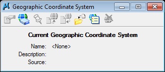
Hi Justin, if, indeed the DGN data has no geographic location data, as you say, then it should be bought in without a spatial reference and georectified by hand. I suspect though, that your data does have some kind of location data applied to it, as it appears to be projecting, at least at the right size, if not the correct location. Assuming that your last picture, "coords", is the coordinates of the DGN, I don't recognize an obvious coordinate system. Try importing the original data into an empty map, and leave the spatial reference blank. If you examine the properties, source tab, what extent is shown there? A screenshot of this can often help people take a better guess at what coordinate system the data was created in.
- Mark as New
- Bookmark
- Subscribe
- Mute
- Subscribe to RSS Feed
- Permalink
Hi Sephe, here is a screenshot of the feature extent for the file I am trying to bring into ArcMap.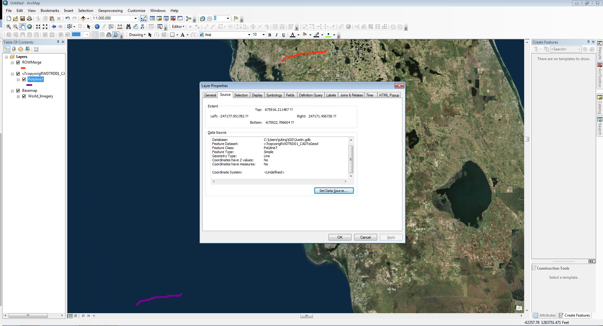
- Mark as New
- Bookmark
- Subscribe
- Mute
- Subscribe to RSS Feed
- Permalink
Justin,
Do you also have a <FileName>.wld file along-with your DGN file (Browse from Windows Explorer)? If you have it, then
1) convert the DGN to shapefile with unknown coordinate system.
2) From ArcCatalog, go to properties of shapefile > Edit the spatial reference > Import the coordinate system from the corresponding world file.(Make sure there is no spatial reference (In Favorites) with the same name, prior to importing the coordinate system).
3) Once the coordinate system is imported and applied, the new shapefile should overlay correctly on Map.
Think Location
- Mark as New
- Bookmark
- Subscribe
- Mute
- Subscribe to RSS Feed
- Permalink
Saving the file as a .DXF extension in Microstation and then bringing the DXF into ArcMap places the file in the correct location. I guess from now on I will do it this way. Thank You everyone for the help.