- Home
- :
- All Communities
- :
- Products
- :
- ArcMap (Retired)
- :
- ArcMap Questions
- :
- Total area covered by tracking
- Subscribe to RSS Feed
- Mark Topic as New
- Mark Topic as Read
- Float this Topic for Current User
- Bookmark
- Printer Friendly Page
Total area covered by tracking

- Mark as New
- Bookmark
- Subscribe to RSS Feed
- Permalink
Hello!
I'm very new to ArcGIS and I have a problem to find the right approach to my question:
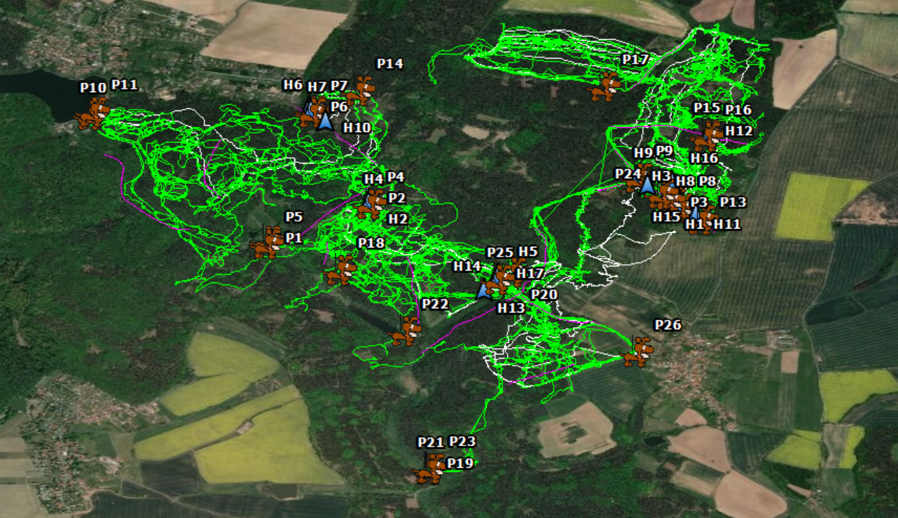
I want to investigate the actual size of driven hunts. I have kmz files of tracked hunting dogs and beaters (see picture), and want to know the size of the area they covered. Is there a way to do that using ArcMap?
I tried merging the polylines (the tracks) and generate a new polygon feature, but it does not work correctly. Or should I simply "draw" a free-hand polygon?
Thank you!
Solved! Go to Solution.
Accepted Solutions


- Mark as New
- Bookmark
- Subscribe to RSS Feed
- Permalink
You could use Minimum Bounding Geometry with "Convex Hull" as the geometry type.
I used it on a river network.
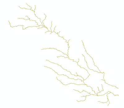
Result for original streams

Result with Merged/Dissolved Streams

Think Location
- Mark as New
- Bookmark
- Subscribe to RSS Feed
- Permalink
You could use Minimum Bounding Geometry with "Convex Hull" as the geometry type.
I used it on a river network.
Result for original streams
Result with Merged/Dissolved Streams
Think Location
- Mark as New
- Bookmark
- Subscribe to RSS Feed
- Permalink
That looks nice, and seems to work just fine for me. Thank you!
