Turn on suggestions
Auto-suggest helps you quickly narrow down your search results by suggesting possible matches as you type.
Cancel
- Home
- :
- All Communities
- :
- Products
- :
- ArcMap (Retired)
- :
- ArcMap Questions
- :
- Data does not display on the map, but present in t...
Options
- Subscribe to RSS Feed
- Mark Topic as New
- Mark Topic as Read
- Float this Topic for Current User
- Bookmark
- Subscribe
- Mute
- Printer Friendly Page
Data does not display on the map, but present in the attribute table
Subscribe
1206
1
07-08-2018 07:44 AM
07-08-2018
07:44 AM
- Mark as New
- Bookmark
- Subscribe
- Mute
- Subscribe to RSS Feed
- Permalink
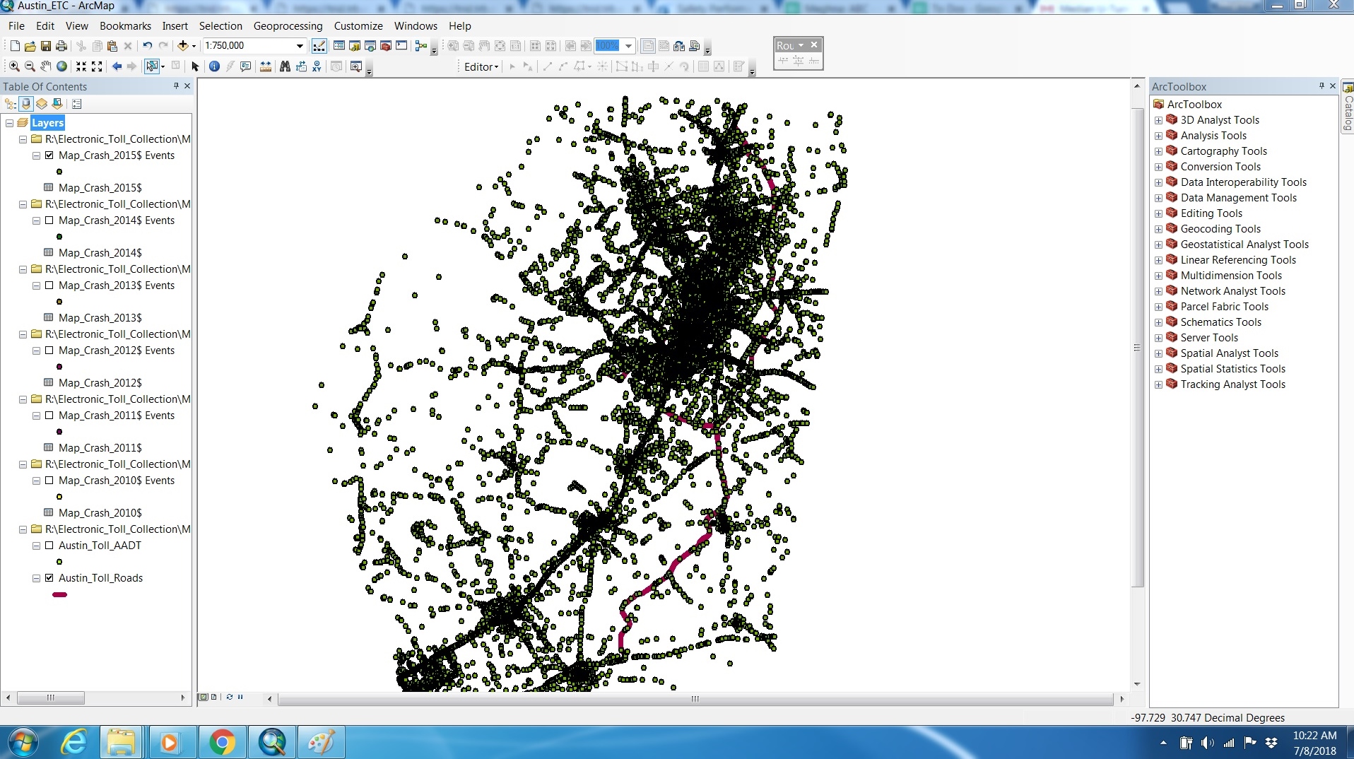
I am facing issues with geocoding point features from an excel sheet that contains the X and Y coordinates. I am successfully able to create the event layer from the spreadsheet. However, whenever I am trying to save the event layer (that is temporarily created while geocoding the points) as a shapefile, it does not display on the map. However, the attribute table shows that the data has correctly been exported to the shapefile. If it is so, then why am I not able to see the points in shapefile on the map? Please help. Thanks!
1 Reply
07-08-2018
11:24 AM
- Mark as New
- Bookmark
- Subscribe
- Mute
- Subscribe to RSS Feed
- Permalink
Use Share rather than triplicate posting