- Home
- :
- All Communities
- :
- Products
- :
- ArcGIS Web AppBuilder
- :
- ArcGIS Web AppBuilder Questions
- :
- Re: Toggle layers on and off in Web AppBuilder
- Subscribe to RSS Feed
- Mark Topic as New
- Mark Topic as Read
- Float this Topic for Current User
- Bookmark
- Subscribe
- Mute
- Printer Friendly Page
Re: Toggle layers on and off in Web AppBuilder
- Mark as New
- Bookmark
- Subscribe
- Mute
- Subscribe to RSS Feed
- Permalink
UPDATED: See bottom of this question:
Since this is its own thread now, I'll go ahead and expand...
I am wondering how you get layers within groups to be toggle-able. The MXD was created to house all these layers within a group instead of having to create an mxd and a service for every single layer.
As you can see, when I create a map in web app builder, the layers are still defaulted to on all the time. Whereas, in another thread we were told there would be the ability to have check boxes for each layer within the group. Obviously when they're on all the time it is not useful as there are going to be >100 individual layers. 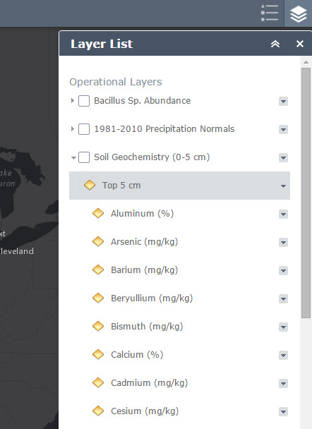
Is that something that needs to be changed first? If so where?
_______________________________________________________________________________________________________________
Ok, so after some experimenting I seem to have realized something. The above screenshot is of raster layers. However, I've now added some polygons and point files and noticed that those are able to be toggled on and off.
Is the answer that shapefiles can be turned on and off within groups, but raster files cannot? If so, whats up with that? In the meantime I've found customized table of content widgets that should fix the problem, but 1) I'm waiting for my server admin to install WebApp builder developer ed. and 2) Why can't ESRI just make this a default? It seems so simple and useful...
Message was edited by: Steven Douglas
- Mark as New
- Bookmark
- Subscribe
- Mute
- Subscribe to RSS Feed
- Permalink
Hi Steven - I split your post off of the rest of the discussion on Story Maps since your question is about Web AppBuilder and I moved it to the Web AppBuilder Place on GeoNet.
Owen
Lead Product Engineer | StoryMaps
- Mark as New
- Bookmark
- Subscribe
- Mute
- Subscribe to RSS Feed
- Permalink
Steven,
Are those layers from ImageServer or MapServer? Can you toggle them in Map Viewer? If possible, can you share sample service for us to take a close look?
Thanks,
Jianxia
- Mark as New
- Bookmark
- Subscribe
- Mute
- Subscribe to RSS Feed
- Permalink
Thank you for the reply
They are hosted REST services from our server. I cannot toggle them in the map viewer or the web app. Unfortunately I don't think I can share anything since it is not published yet and therefore I don't have the permissions.
- Mark as New
- Bookmark
- Subscribe
- Mute
- Subscribe to RSS Feed
- Permalink
From the rest end point, can you tell which type of server it is? A MapServer of ImageServer, something like the links below:
Thanks,
Jianxia
- Mark as New
- Bookmark
- Subscribe
- Mute
- Subscribe to RSS Feed
- Permalink
Oh I see what you mean.
They are MapServers.
- Mark as New
- Bookmark
- Subscribe
- Mute
- Subscribe to RSS Feed
- Permalink
Does that make a difference?
- Mark as New
- Bookmark
- Subscribe
- Mute
- Subscribe to RSS Feed
- Permalink
Well I think I discovered part of the problem.
I looked at a couple of the layers that were different (both vector polygons), one wasn't giving me this option. It turns out the ones that I cache do not give me the option to toggle each layer on and off. But now when I turn off the caching I can't get anything to display, but I guess thats a different issue...
Is this caching thing something that is known? Why won't it let me turn cached layers on and off?
- Mark as New
- Bookmark
- Subscribe
- Mute
- Subscribe to RSS Feed
- Permalink
I cannot tell without looking into the service. Just ran a quick test by publishing mapserver with image layer as sub -layers. lt seems fine. See the screenshot.

Jianxia
- Mark as New
- Bookmark
- Subscribe
- Mute
- Subscribe to RSS Feed
- Permalink
Only dynamic map service has ability to turn each sublayer on and off. Tiled map service layer does not have the ability to toggle each sublayer on and off, that is limited by service capability.