Turn on suggestions
Auto-suggest helps you quickly narrow down your search results by suggesting possible matches as you type.
Cancel
- Home
- :
- All Communities
- :
- Learning
- :
- ArcGIS Tutorials
- :
- ArcGIS Tutorials Questions
- :
- Issue with service area
Options
- Subscribe to RSS Feed
- Mark Topic as New
- Mark Topic as Read
- Float this Topic for Current User
- Bookmark
- Subscribe
- Mute
- Printer Friendly Page
Issue with service area
Subscribe
758
1
10-09-2020 04:10 AM
10-09-2020
04:10 AM
- Mark as New
- Bookmark
- Subscribe
- Mute
- Subscribe to RSS Feed
- Permalink
Hi,
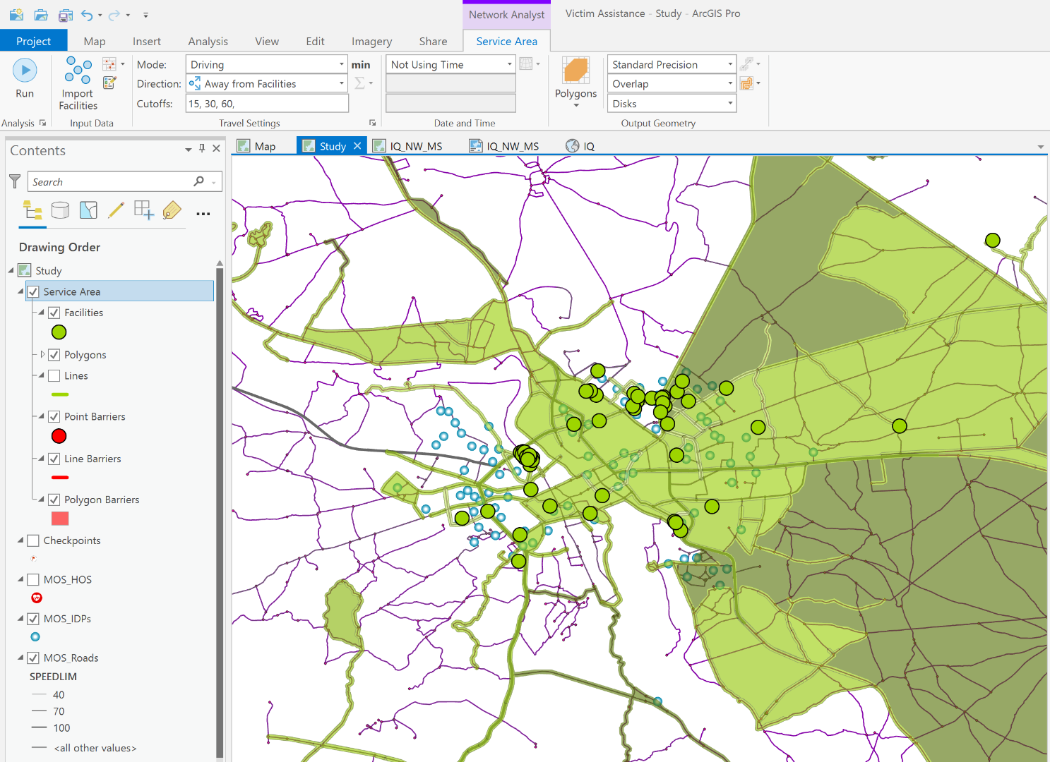
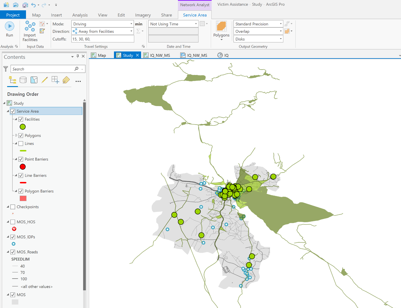
I try to do conduct a Network Analysis using Service Area in Mosul district, Iraq (grey area).
My facilities are hospitals. I prepared a network dataset in ArcMap using a roads polylines shapefile (it looks that junctions and edges, in purple in the map, are well connected). I defined two modes, Driving and walking cost. However, when I run the analysis, it seems there is a problem, as if some roads seem not to be taken into account in the analysis, giving a kind of "erratic" service area. Would you have any advice / suggestion of what I could possibly do wrong in the process?
1 Reply
10-12-2020
05:02 AM
- Mark as New
- Bookmark
- Subscribe
- Mute
- Subscribe to RSS Feed
- Permalink
Hello Melanie,
The community will be happy to try to help! Can you provide further details about:
- what you are trying to do?
- what software product you are using?
- what error message(s) you see? (screenshots can be very helpful!)
Adena