- Home
- :
- All Communities
- :
- Products
- :
- ArcGIS Survey123
- :
- ArcGIS Survey123 Questions
- :
- Using ArcGIS Online offline maps (Vector and Image...
- Subscribe to RSS Feed
- Mark Topic as New
- Mark Topic as Read
- Float this Topic for Current User
- Bookmark
- Subscribe
- Mute
- Printer Friendly Page
Using ArcGIS Online offline maps (Vector and Images) In Survey 123
- Mark as New
- Bookmark
- Subscribe
- Mute
- Subscribe to RSS Feed
- Permalink
Hey Guys,
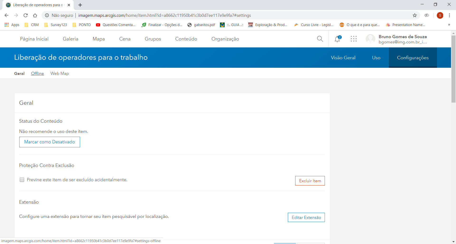
Recently you have laucnhed the option to create and use offline maps in Survey 123 and other apps.
These funcionalities are awsome and will contribute a lot to planners and GIS Professionals.
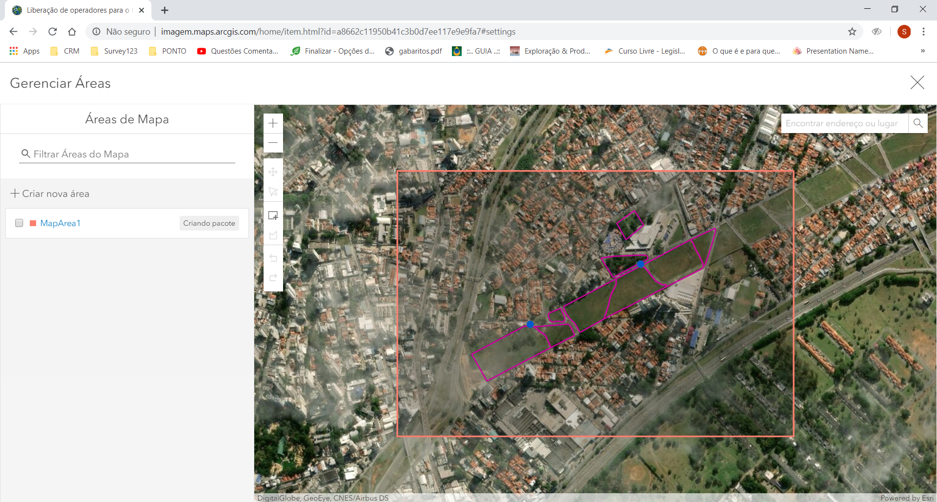
But, I have been trying to use an offline webmap into survey 123 without success. When I put some vectors inside this map (all with offline option activated as informed in documentations). These vectors don't charge into survey 123.
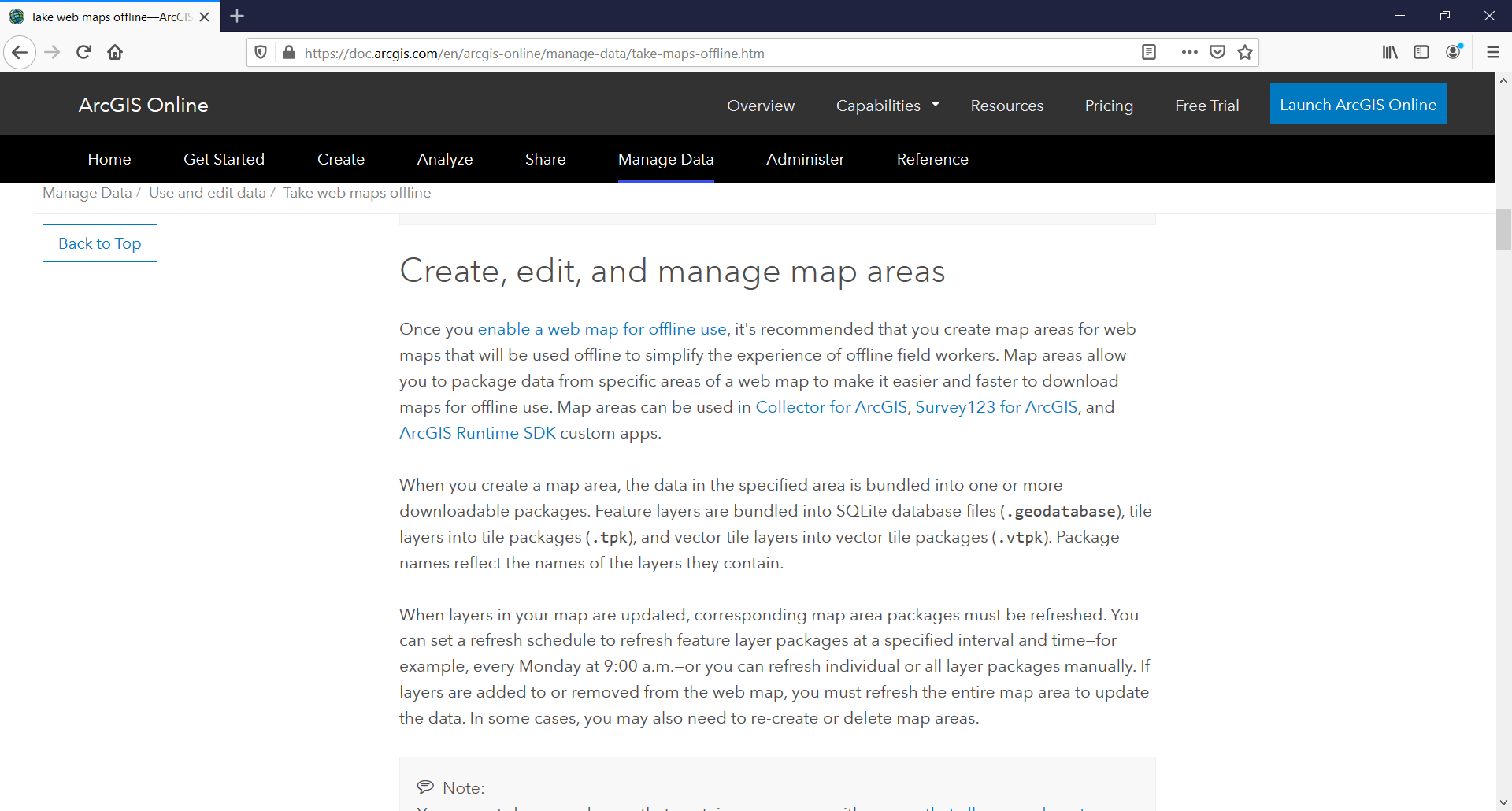
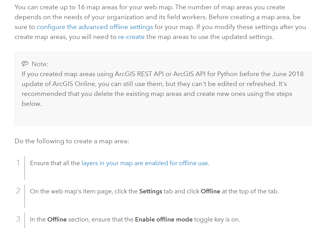
The doc: Utilizar mapas da web offline—Ajuda do ArcGIS Online | Documentação
Prints:
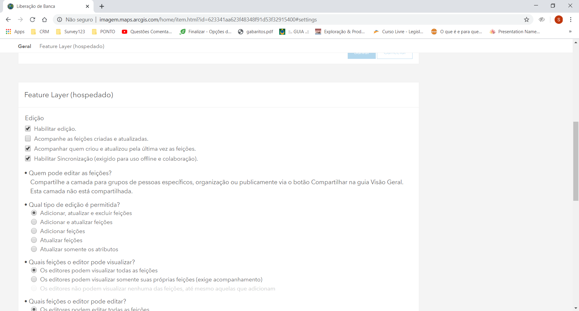
Feature layer:
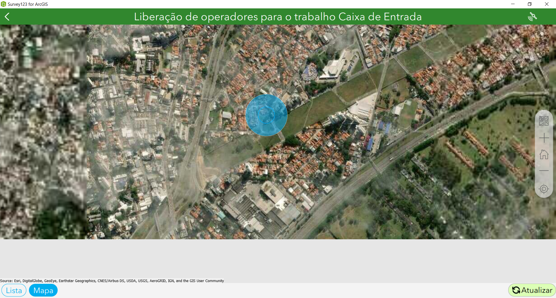
Prints Survey:
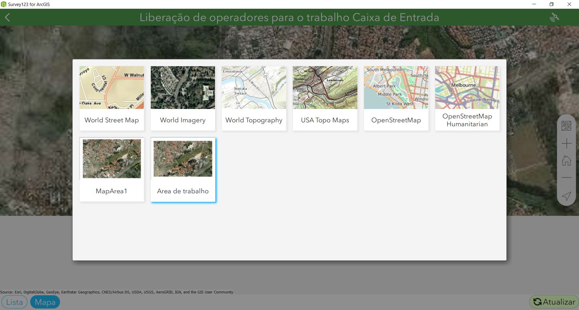
Map without layers previously configured:
James Tedrick have some idea about it?
It's a bug?
- Mark as New
- Bookmark
- Subscribe
- Mute
- Subscribe to RSS Feed
- Permalink
Hello,
Please have a look at the 'Create a map package in ArcGIS Online or ArcGIS Enterprise' section of this page:
Prepare basemaps for offline use—Survey123 for ArcGIS | Documentation
It says
Only the basemaps from a map area can be used in the Survey123 field app. Each basemap layer can be downloaded as a separate offline map package. Operational layers and labels in the map area are not be displayed.
I'm not sure whether we can include layers in the future but I don't think we can do it at the moment.
Cheers,
Sun
- Mark as New
- Bookmark
- Subscribe
- Mute
- Subscribe to RSS Feed
- Permalink
Hey Jing,
Thank's by the quick response.
I read this doc, but the doc that I'm talking refers to offline map generated directly from ArcGIS online as you can see: Utilizar mapas da web offline—Ajuda do ArcGIS Online | Documentação
We are talking about different ways to produce offline maps.
In the documentation above have an item that allows you to put your layer offline and available to download.
If I read correctly all vectors in the web map are converted to a VTPK package, to download in Survey and other apps.
But it's not working like the documentation says.
Cheers,
Bruno
- Mark as New
- Bookmark
- Subscribe
- Mute
- Subscribe to RSS Feed
- Permalink
Hi Bruno,
I think we are talking about the same method - create map area in AGOL.
And my understanding of the current limitation is, whatever what you have in the map package created in AGOL, Survey123 can only display the basemap layer.
Cheers,
Sun