- Home
- :
- All Communities
- :
- Products
- :
- ArcGIS Spatial Analyst
- :
- ArcGIS Spatial Analyst Questions
- :
- Kriging (Spatial Analyst) \ Cokriging (Geostatisti...
- Subscribe to RSS Feed
- Mark Topic as New
- Mark Topic as Read
- Float this Topic for Current User
- Bookmark
- Subscribe
- Mute
- Printer Friendly Page
Kriging (Spatial Analyst) \ Cokriging (Geostatistical Analyst)
- Mark as New
- Bookmark
- Subscribe
- Mute
- Subscribe to RSS Feed
- Permalink
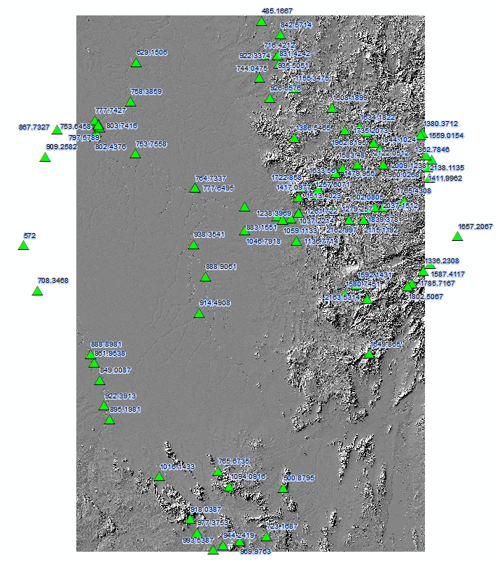
I would like some advise from the community that has experience within Geostatistical Analysis and in particular Kriging and Cokriging. I'm fairly new to GeoStatistics and Kriging and would like in advice in creating a MAP (Mean Annual Precipiation) surface from recorded MAP for rain stations within my study area.
The following is my current parameters based on using the Kriging Tool within Spatial Analyst:
- in_point_features = rain stations
- z_field = MAP
- KrigingModelOrdinary:
- SemivariogramType = Exponential
- lagSize = default
- majorRange = default
- partialSill = default
- nugget = default
- cell_size = same a study area DSM (HydroSHEDS SRTM 90m DSM)
- search_radius = RadiusVariable(12)
- out_variance_predication_raster = None
- out_surface_raster = MAP_Kriging
If I adjust the cell_size to match that of the study area DSM as well as the lagSize as the default is the output raster cell size it fails with the following error 010079. The error message recommends that:
"By increasing the cell size, you will increase the number of sample points per cell size interval, thereby providing enough data points to estimate the semivariogram. Once the semivariogram is estimated, a smaller cell size can be used in creating the actual output raster"
I'm not sure how one can achieve the following as the following is a single process, the estimation of the semivariogram is not a separate from the kriging. If someone can explain to me how to achieve the following it would be appreciated.
My ultimate goal is to use the Geostatistical Analyst Cokriging to generate the MAP using the rain stations and the hydroSHEDS DSM as a second variable, based on the approach described by P.Goovaerts: Geostatistical approaches for incorporating elevation into the spatial interpolation of rainfall. If anyone has applied the following approach using the Geostatistical Analyst Cokriging help in setting the following would appreciated.
- Mark as New
- Bookmark
- Subscribe
- Mute
- Subscribe to RSS Feed
- Permalink
Peter, I can assume that you have been through the help and recommendations beginning from the top of the Geostatistical Analyst help tree... but for those not familiar with the topic, start here:
What is geostatistics?—Help | ArcGIS for Desktop and
An introduction to interpolation methods—Help | ArcGIS for Desktop
References (I will add as I find)
- http://www.eagle.co.nz/nzeuc/graphics/etemp/Presentations_15/1400%20-%20Jorn%20Sijbertsm%20-%20Using... (hmmmm close to home)
- http://onlinelibrary.wiley.com/store/10.1002/joc.1131/asset/1131_ftp.pdf;jsessionid=9EA03BF1688FEC2F... (similar topography and proximity to water)
- http://www.mdpi.com/2073-4441/7/5/1866/pdf (ditto
- http://www.esri.com/library/whitepapers/pdfs/intro-modeling.pdf (backgrounder)