- Home
- :
- All Communities
- :
- Products
- :
- ArcGIS Spatial Analyst
- :
- ArcGIS Spatial Analyst Questions
- :
- Re: IDW Interpolation
- Subscribe to RSS Feed
- Mark Topic as New
- Mark Topic as Read
- Float this Topic for Current User
- Bookmark
- Subscribe
- Mute
- Printer Friendly Page
IDW Interpolation
- Mark as New
- Bookmark
- Subscribe
- Mute
- Subscribe to RSS Feed
- Permalink
Hey everyone,
I'm trying to use the spatial analyst tool in order to calculate IDW. I have a set of points that I created using the fishnet tool in order to display a set of grid points 10 miles apart within the state of Virginia. What I'm trying to do is calculate the IDW of the 10 mile grid points that were created with the fishnet tool that are located 30 Kilometers away from the sample points I have. Both the sample points and the grid points contain a value in which I'm trying to compare. So I want to use IDW of the grid points that are 30 kilometers away from the sample points and sum the weighted values in order to compare. I apologize if this sounds confusing. Below is a snapshot of my points. The green points are sample locations and the purple points are the grid locations. 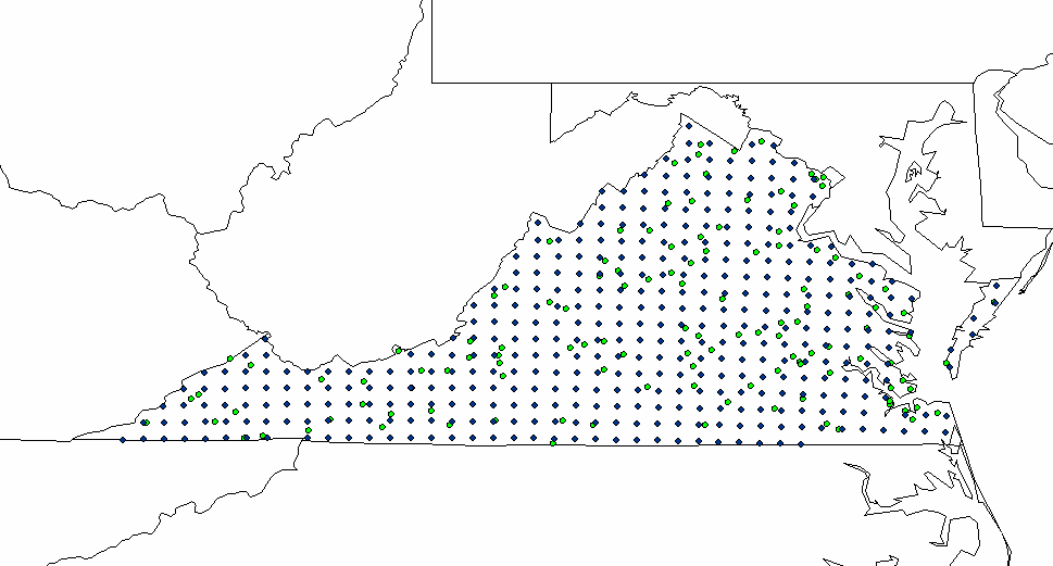
- Mark as New
- Bookmark
- Subscribe
- Mute
- Subscribe to RSS Feed
- Permalink
I forgot to mention that I'm having difficulty using the tool. I'm not sure how to properly use the fixed distance parameter. The measurement is in map units? I want to use kilometers.
- Mark as New
- Bookmark
- Subscribe
- Mute
- Subscribe to RSS Feed
- Permalink
You should only be using projected data to do interpolation anyway
It is easier to do the mental math 30 km = 30,000 m
If you are using feet...do the conversion
If you are using decimal degree data, see the first line.
- Mark as New
- Bookmark
- Subscribe
- Mute
- Subscribe to RSS Feed
- Permalink
so you want to interpolate both surfaces since they both contain values?
You then want to compare the results of both interpolations for buffers within 30 km of the grid points?
clarify if that is not correct.
- Mark as New
- Bookmark
- Subscribe
- Mute
- Subscribe to RSS Feed
- Permalink
I am quite confused about what you're trying to do.
IDW is an interpolation method. What you describe doesn't exactly sound like IDW, but maybe I just don't get it. You could create an IDW raster from the sample points and then extract the value from the IDW at each grid point. That would give you values in the grid attribute table to compare. Is that what you're trying to do?
- Mark as New
- Bookmark
- Subscribe
- Mute
- Subscribe to RSS Feed
- Permalink
Dan and Jimmy,
Thanks for the quick response. Dan that makes sense I need to switch my projection to a UTM first. I will try and rephrase my question. IDW is definitely the interpolation technique that I need for my analysis. The weighted value I am referring to is an insurance metric (gross loss). Both the grid points and the sample points have a column "gross loss" The sample points are actual values associated with my company portfolio. The grid points contain values that are not associated with my company portfolio but are realistic values for that geographic area. I need the weighted average of the attribute (gross loss) of the grid points that are located within a 30 kilometers of each sample point. I'm aware there will be multiple grid points that are located within 30 kilometers which is why I'm using the IDW. I will be multiplying the IDW by that points gross loss and then summing all of the grid points to compare with the actual gross loss for the sample point. I'm essentially using the IDW because the weight a particular point is assigned in the averaging calculation depends upon the sampled points distance to the non-sampled location.
- Mark as New
- Bookmark
- Subscribe
- Mute
- Subscribe to RSS Feed
- Permalink
That makes much more sense. Here's what I'd do:
- As mentioned, project your data into a projection that preserves distance.
- Create an IDW using the grid points as the inputs and set the inputs to all points within 30K. The value of each output cell is now a weighted average of the grid points within 30K.
- Use the extract values to points tool (in Spatial Analyst) to get the interpolated value at that location and add it to the sample point attributes. You then have the real and interpolated values in the sample point attribute table to compare.
- Mark as New
- Bookmark
- Subscribe
- Mute
- Subscribe to RSS Feed
- Permalink
Thank you guys! Very helpful responses.