- Home
- :
- All Communities
- :
- Products
- :
- ArcGIS Spatial Analyst
- :
- ArcGIS Spatial Analyst Questions
- :
- DEM Artefacts
- Subscribe to RSS Feed
- Mark Topic as New
- Mark Topic as Read
- Float this Topic for Current User
- Bookmark
- Subscribe
- Mute
- Printer Friendly Page
DEM Artefacts
- Mark as New
- Bookmark
- Subscribe
- Mute
- Subscribe to RSS Feed
- Permalink
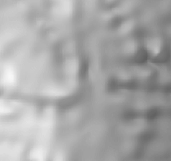
I have a collection of data points from which I am trying to generate a DEM and, ultimately, a hillshade for use as a backdrop in a map. Whichever way I try to process it (using Topo to Raster) I get artefacts where the points are located. See the attached example: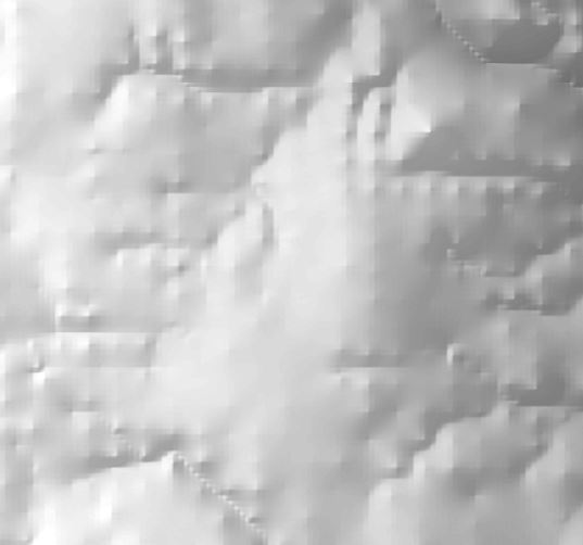
Any ideas what might be causing this?
- Mark as New
- Bookmark
- Subscribe
- Mute
- Subscribe to RSS Feed
- Permalink
You may want to use a different surface creation method than "Topo to Raster".
Off the top of my head, Inverse Distance-Weighted (IDW) may work out better as a surface creation for then creating a hillshade.
Also, if I remember correctly, Natural Neighbors is the one that makes high points more extreme than in real life (much like the result you posted), so avoid that one.
Additionally, note that the number and distribution of your input points can factor into your results too, so you may have to experiment with several methods to see which works best considering your available data.
Surface creation and analysis
ArcGIS Help (10.2, 10.2.1, and 10.2.2)
Chris Donohue, GISP
- Mark as New
- Bookmark
- Subscribe
- Mute
- Subscribe to RSS Feed
- Permalink
Well, I tried your suggestion and the result is worse than the Topo to Raster result. See below.
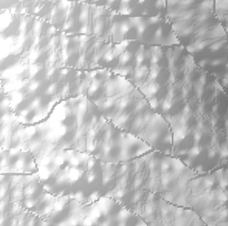
I'll be trying some of the other interpolation methods and getting back to you on my success (or lack thereof).
- Mark as New
- Bookmark
- Subscribe
- Mute
- Subscribe to RSS Feed
- Permalink
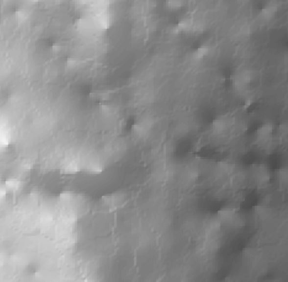
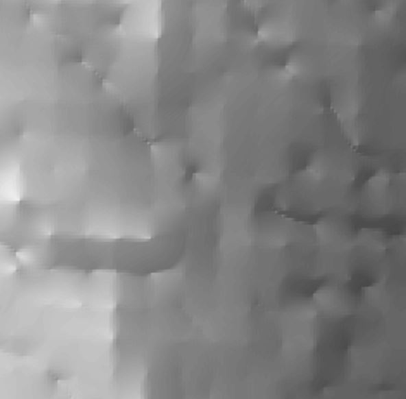
Kriging (top), Natural Neighbour (middle) and Spline (bottom) are not much better.
- Mark as New
- Bookmark
- Subscribe
- Mute
- Subscribe to RSS Feed
- Permalink
Have you tired creating a TIN or Terrain with those points and then transforming it into a DEM? Are your points dense enough? Maybe you dont have enough to come with a proper result
- Mark as New
- Bookmark
- Subscribe
- Mute
- Subscribe to RSS Feed
- Permalink
Oskar - I have tried creating a TIN. The TIN looks fine but converting that to a DEM results in an entirely different set of artefacts, one that appears to have many of the single cells outlined.
Most of the elevation points are about 195 m apart with other points added in along streamlines. I am contacting the original creator of the data to find out what process they use and what issues they've come across.
- Mark as New
- Bookmark
- Subscribe
- Mute
- Subscribe to RSS Feed
- Permalink
Its gotta be something on the data then...Are the points for the elevation and the streamlines in the same units?
- Mark as New
- Bookmark
- Subscribe
- Mute
- Subscribe to RSS Feed
- Permalink
I too get artefacts in my DEMs when using natual neighbours. I have two solutions:
1. Create the DEM at a lower resolution and then resample to a higher res.
2. Use LINEAR interpolation instead.
Neither is ideal, 1 can take a few goes to find the low res that eliminates artefacts so I use 2 - fortunately for me this is adequate.
- Mark as New
- Bookmark
- Subscribe
- Mute
- Subscribe to RSS Feed
- Permalink
You may want to use Bilinear or cubic re-sampling method.
- Mark as New
- Bookmark
- Subscribe
- Mute
- Subscribe to RSS Feed
- Permalink
Rajinder... as an addendum to your post could you check your resources and see if this article has been updated for ArcMap 10.x, the reference only goes to 9.3 but I would assume that the situation is the same