I've already posted this so I apologize for any confusion, but I accidentally marked the question as "Assumed Answered" and it's not allowing me to change that or erase my post, so here it is again.
I'm fairly new to GIS and I haven't been able to find much on this specific topic in the ESRI community.
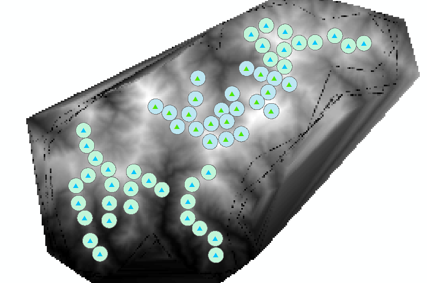
I would like to be able to calculate a "Terrain Ruggedness" index for each one of my sites in my study area and found a couple different suggestions, but I think calculating the standard deviation of elevation would give me useful values. The problem is I can't find how to calculate this within specific buffers. For example, I have made a TIN from a contour shapefile around my sites (Figure 1; edited with river shapefile) and then converted that to a Raster shapefile (Figure 2). I've made 500m buffers around each site and would like to calculate the standard deviation of elevation within those buffers for each site. OR really any kind of value that could measure "terrain ruggedness" within each buffer.
Are there any suggestions on how to do this?
Thanks!
Jess
Figure 1. TIN
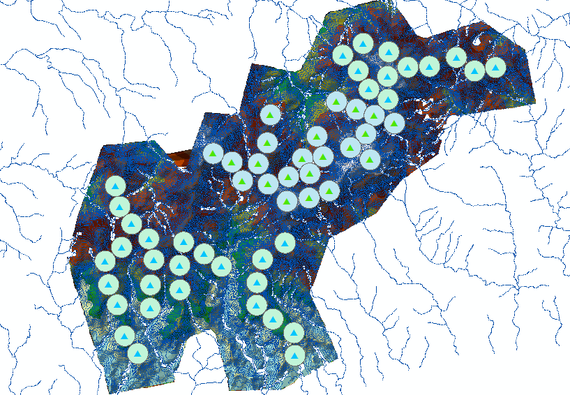
Figure 2. Raster