- Home
- :
- All Communities
- :
- Developers
- :
- Native Maps SDKs
- :
- Native SDKs Blog
- :
- A Windows Mapbook App for Your Organization
A Windows Mapbook App for Your Organization
- Subscribe to RSS Feed
- Mark as New
- Mark as Read
- Bookmark
- Subscribe
- Printer Friendly Page
- Report Inappropriate Content
We like to think that the world is mostly digital and that all field personnel hop from job site to job site armed with tablets that are auto-magically kept in sync for them by highly sophisticated software and nobody uses paper maps anymore. While that is certainly true for some, the reality is that paper maps are a long way from being replaced. So why, with all the global efforts going on to eliminate paper, are paper maps so hard to replace?
One of the most common reasons is a budgetary constraint. Companies cannot afford to invest in tablets, training, and mapping software for each field worker. Publishing a web map that the field worker could access on their laptop is a solution to the budgetary constraint, but that introduces the issue of not being able to access the maps in a disconnected environment. Another cause is that some of the existing apps are just too complicated. So paper maps do the job because they are simple, inexpensive, and available anywhere.
How Offline Mapbook competes with paper maps
We have engineered the Offline Mapbook example application to be a very simple, easy to use map viewing app. It works on any Windows device running Windows 7 and above and is designed to work fully offline. The interface is simple, intuitive and touch friendly. It's free and open sourced so it can be modified to fit anyone's needs.
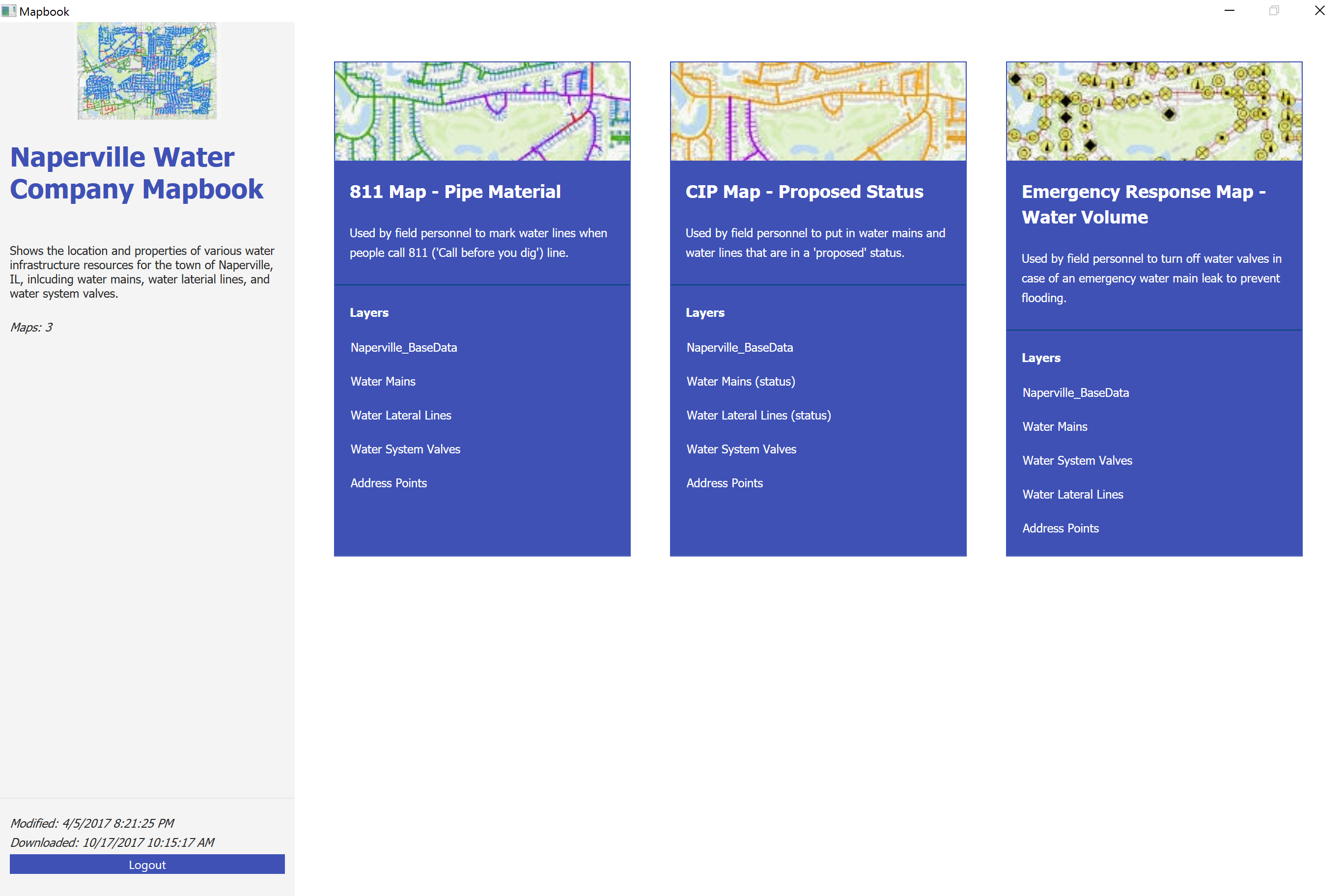
One mapbook, multiple maps
Using a mobile map package makes it easy to have multiple maps in one app.

Table of Contents and Legend
Maps with multiple superimposed data layers are hard to discern. The Table of Contents in the Offline Mapbook lets users turn layers on and off as needed.

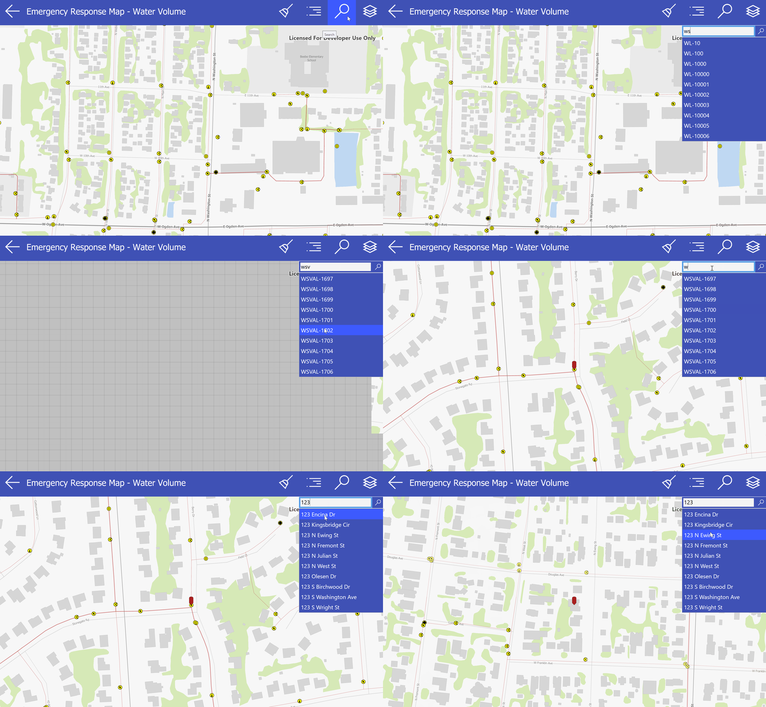
Locate
Multiple locators can be configured within the mobile map package to facilitate searching for both map features and addresses.

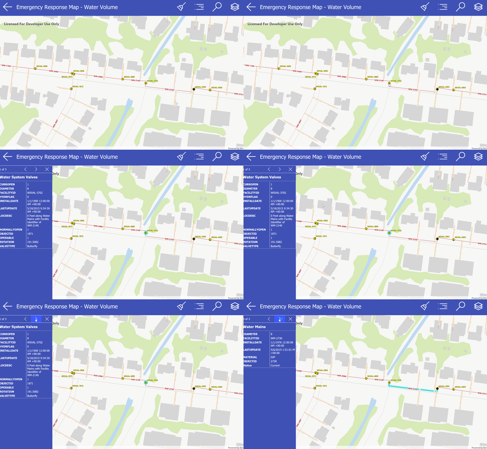
Identify
More information about a feature is available by clicking or tapping on it.

Offline capabilities and syncing
While the app is designed to function in a fully disconnected environment, that does not mean the data becomes stale once loaded. Every time the app is started, if an internet connection is present, it checks the location of the mobile map package to see if a new one is available to download.
Get more info
Often times we try to do everything at once. We try to make an app that visualizes and collects and analyzes, but we lack the budget or the skill set. More often than not, the intended audience is overwhelmed by the amount of features they are presented with, and the uptake is slow and painful. This app was designed with all that in mind, to give you a simple way to get digital data into people's hands now, and let you worry about collecting and analyzing later.
You must be a registered user to add a comment. If you've already registered, sign in. Otherwise, register and sign in.