- Home
- :
- All Communities
- :
- Developers
- :
- Native Maps SDKs
- :
- .NET Maps SDK Questions
- :
- How do I add an WMTS layer?
- Subscribe to RSS Feed
- Mark Topic as New
- Mark Topic as Read
- Float this Topic for Current User
- Bookmark
- Subscribe
- Mute
- Printer Friendly Page
- Mark as New
- Bookmark
- Subscribe
- Mute
- Subscribe to RSS Feed
- Permalink
- Report Inappropriate Content
I'm kinda lost here.
I basically just want to add a Layer for basemap.at - see here: https://www.basemap.at/wmts/1.0.0/WMTSCapabilities.xml
How do I do this? Do I use ArcGISTiledLAyer? ArcGISMapImageLayer? Which Uri?
The only documentation about WMTS I found was a "PortalItemType". If I need a "ArcGISPortal", what should I use as an Uri here?
Solved! Go to Solution.
Accepted Solutions
- Mark as New
- Bookmark
- Subscribe
- Mute
- Subscribe to RSS Feed
- Permalink
- Report Inappropriate Content
Actually OpenStreetMap didn't make it either. However here's a custom tiled layer that renders OSM. You can probably tweak it to work for your WMTS service.
public class OpenStreetMapLayer : Esri.ArcGISRuntime.Mapping.ServiceImageTiledLayer
{
public OpenStreetMapLayer()
: base(CreateTileInfo(), new Envelope(-20037508.3427892, -20037508.3427892, 20037508.3427892, 20037508.3427892, SpatialReferences.WebMercator))
{
}
private static Esri.ArcGISRuntime.ArcGISServices.TileInfo CreateTileInfo()
{
var levels = new Esri.ArcGISRuntime.ArcGISServices.LevelOfDetail[19];
double resolution = 20037508.3427892 * 2 / 256;
double scale = resolution * 96 * 39.37;
for (int i = 0; i < levels.Length; i++)
{
levels[i] = new Esri.ArcGISRuntime.ArcGISServices.LevelOfDetail(i, resolution, scale);
resolution /= 2;
scale /= 2;
}
return new Esri.ArcGISRuntime.ArcGISServices.TileInfo(96, TileImageFormat.Png, levels, new MapPoint(-20037508.3427892, 20037508.3427892, SpatialReferences.WebMercator),
SpatialReferences.WebMercator, 256, 256);
}
private static string[] subdomains = { "a", "b", "c" };
protected override Task<Uri> GetTileUriAsync(int level, int row, int column, CancellationToken cancellationToken)
{
return Task.FromResult(new Uri($"http://{ subdomains[(level + column + row) % subdomains.Length]}.tile.openstreetmap.org/{level}/{column}/{row}.png", UriKind.Absolute));
}
}
- Mark as New
- Bookmark
- Subscribe
- Mute
- Subscribe to RSS Feed
- Permalink
- Report Inappropriate Content
WMTS support is not available in the released version but it's up on the list for next release.
- Mark as New
- Bookmark
- Subscribe
- Mute
- Subscribe to RSS Feed
- Permalink
- Report Inappropriate Content
Is there no workaround for adding a single layer?
I was told, the SDK supports "Open Street Map", which uses the same protocol as basemap.at.
- Mark as New
- Bookmark
- Subscribe
- Mute
- Subscribe to RSS Feed
- Permalink
- Report Inappropriate Content
Actually OpenStreetMap didn't make it either. However here's a custom tiled layer that renders OSM. You can probably tweak it to work for your WMTS service.
public class OpenStreetMapLayer : Esri.ArcGISRuntime.Mapping.ServiceImageTiledLayer
{
public OpenStreetMapLayer()
: base(CreateTileInfo(), new Envelope(-20037508.3427892, -20037508.3427892, 20037508.3427892, 20037508.3427892, SpatialReferences.WebMercator))
{
}
private static Esri.ArcGISRuntime.ArcGISServices.TileInfo CreateTileInfo()
{
var levels = new Esri.ArcGISRuntime.ArcGISServices.LevelOfDetail[19];
double resolution = 20037508.3427892 * 2 / 256;
double scale = resolution * 96 * 39.37;
for (int i = 0; i < levels.Length; i++)
{
levels[i] = new Esri.ArcGISRuntime.ArcGISServices.LevelOfDetail(i, resolution, scale);
resolution /= 2;
scale /= 2;
}
return new Esri.ArcGISRuntime.ArcGISServices.TileInfo(96, TileImageFormat.Png, levels, new MapPoint(-20037508.3427892, 20037508.3427892, SpatialReferences.WebMercator),
SpatialReferences.WebMercator, 256, 256);
}
private static string[] subdomains = { "a", "b", "c" };
protected override Task<Uri> GetTileUriAsync(int level, int row, int column, CancellationToken cancellationToken)
{
return Task.FromResult(new Uri($"http://{ subdomains[(level + column + row) % subdomains.Length]}.tile.openstreetmap.org/{level}/{column}/{row}.png", UriKind.Absolute));
}
}
- Mark as New
- Bookmark
- Subscribe
- Mute
- Subscribe to RSS Feed
- Permalink
- Report Inappropriate Content
This works, thank you!
You don't happen to have a similar workaround/implementation for ServiceFeatureTable from WMS?
- Mark as New
- Bookmark
- Subscribe
- Mute
- Subscribe to RSS Feed
- Permalink
- Report Inappropriate Content
here is the code in order to show wmts tiles
protected override Task<Uri> GetTileUriAsync(int level, int row, int column, CancellationToken cancellationToken)
{
row = (int)(Math.Pow(2, level) - row - 1);
string uriString = tilesUri + $"/{level}/{column}/{row}.png";
return Task.FromResult(new Uri(uriString, UriKind.Absolute));
}- Mark as New
- Bookmark
- Subscribe
- Mute
- Subscribe to RSS Feed
- Permalink
- Report Inappropriate Content
with version 100.1.0 of the SDK for .Net, support for WMTS is supposed to be here as mentioned in the release notes.
However, I could still find no documentation on this.
How do I take in a WMTS map? I was using 10.2.4 previously, I had hoped to do something like that...
- Mark as New
- Bookmark
- Subscribe
- Mute
- Subscribe to RSS Feed
- Permalink
- Report Inappropriate Content
Hi Parh,
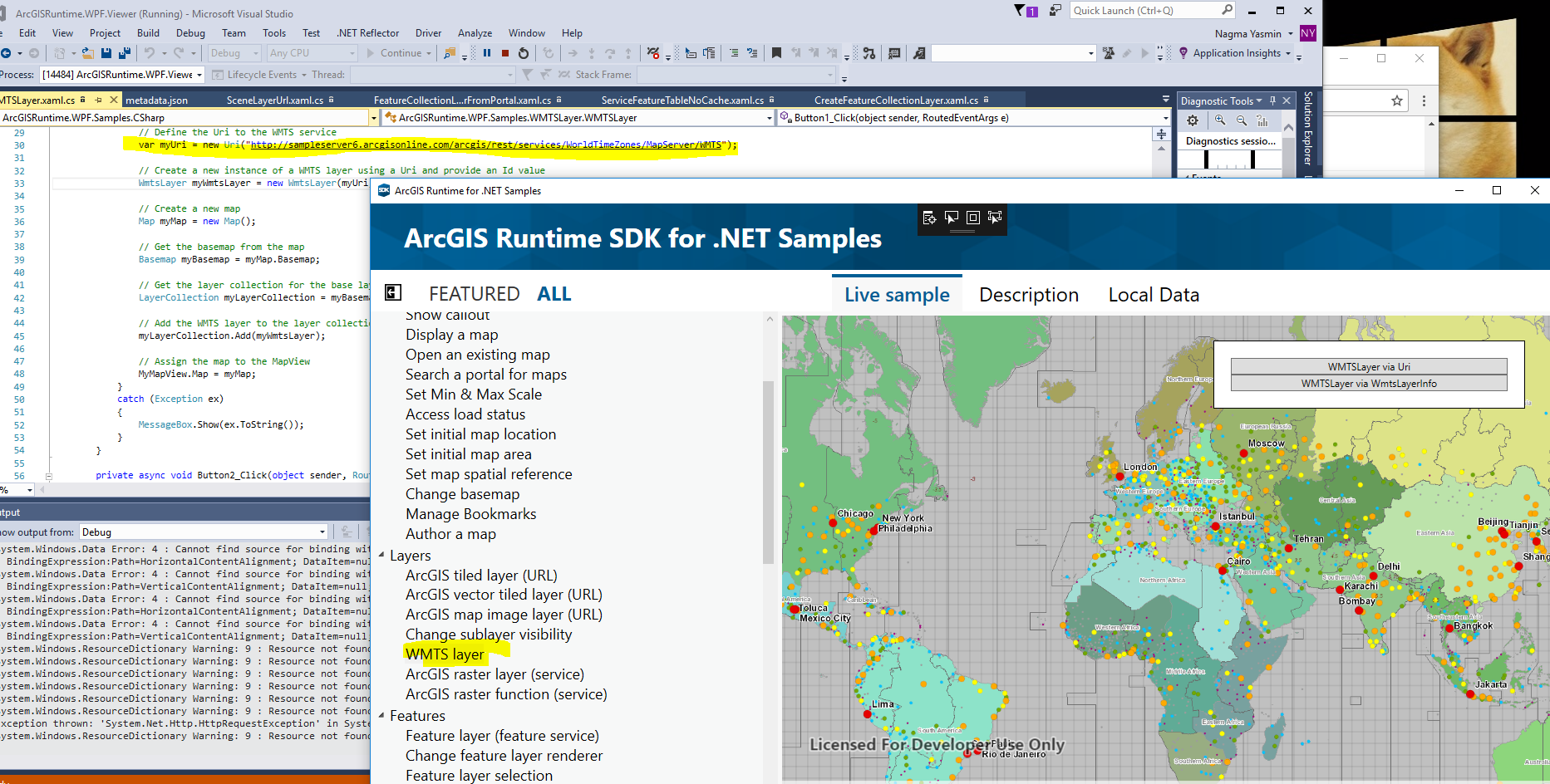
WmtsLayer (WmtsLayer Class) is introduced in 100.1 to display WMTS layer. If you have downloaded the sample, there is an example how to consume the WMTS service using Runtime .net application.
Hope that helps,
Nagma
- Mark as New
- Bookmark
- Subscribe
- Mute
- Subscribe to RSS Feed
- Permalink
- Report Inappropriate Content
Thanks Yasmin. I have gotten it working now.
I am trying to work on something lightweight and cost nothing.
My current solution is to use open street map data in a local installation
of geoserver,
that is why I am using WMTS.
I would like to know whether there is any simpler solution?
i.e. is there any way for Esri Arcgis .NET SDK to consume local map data
(or even a geotagged image)?
I know there are map packages that can be generated from ArcGIS Desktop,
but that would require me to
buy ArcGIS desktop, so I am not going that direction..
thanks in advance for any pointers.
rgds
PJ
- Mark as New
- Bookmark
- Subscribe
- Mute
- Subscribe to RSS Feed
- Permalink
- Report Inappropriate Content
You can find WMTS samples right here: https://github.com/Esri/arcgis-runtime-samples-dotnet/tree/master/src/WPF/ArcGISRuntime.WPF.Samples/...