- Home
- :
- All Communities
- :
- Developers
- :
- Native Maps SDKs
- :
- Runtime SDK for Android Questions
- :
- Re: Adjacent Tile Rendering Issue in ArcGIS Java L...
- Subscribe to RSS Feed
- Mark Topic as New
- Mark Topic as Read
- Float this Topic for Current User
- Bookmark
- Subscribe
- Mute
- Printer Friendly Page
Adjacent Tile Rendering Issue in ArcGIS Java Library
- Mark as New
- Bookmark
- Subscribe
- Mute
- Subscribe to RSS Feed
- Permalink
Hello!
I am a member of a company that is a large client to ArcGIS. I am currently experiencing what seems to be a bug. When zooming into a rendered map to a high degree, the center tile in view remains rendered. However, when panning away from the currently rendered tile, the adjacent tiles do not render. Additionally, the sole rendered tile disappears once panning off of it, leaving the entire map grey. Our map needs to zoom in to a high degree (even if the map does not have tiles to render) and be able to pan while allowing adjacent tiles to render. After making a hard coded "safe zoom" level for our application that allows adjacent tiles to render while panning, our clients have came back and reported this to be unacceptable. Is there any way to fix this bug? Finally, I have looked at other examples of implementation of ArcGIS and see similar problems where developers have made finicky, hacky fixes. Helping us solve this problem would likely be of benefit to many other developers as well!
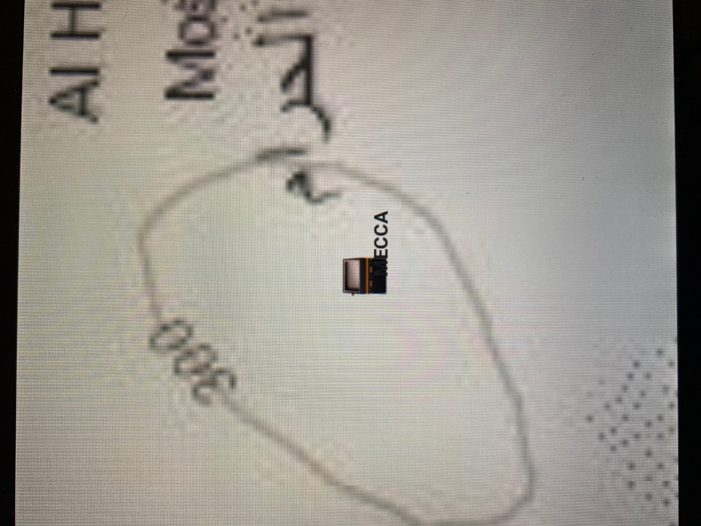
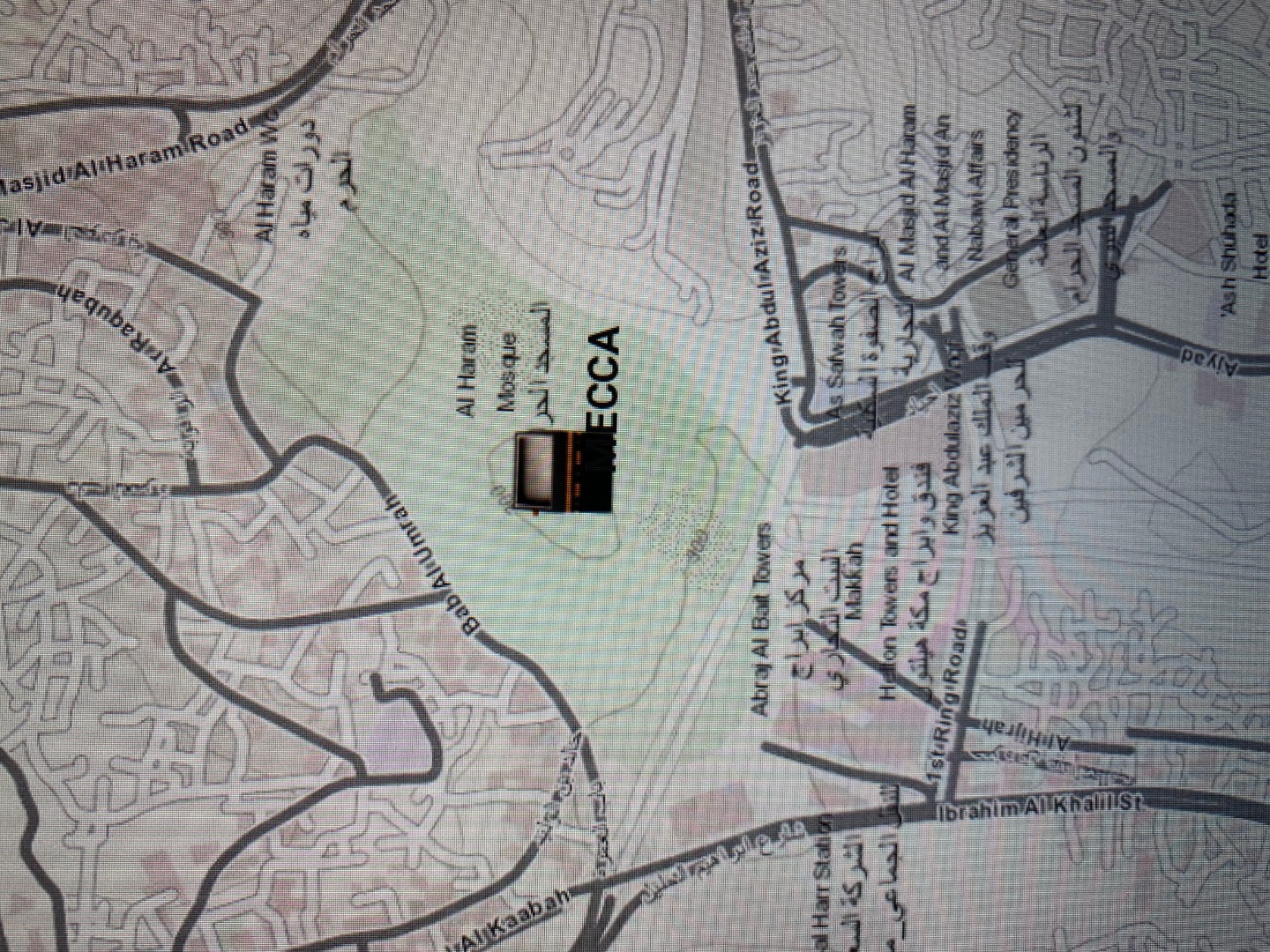
Attached are some photos for reference of what I am speaking of: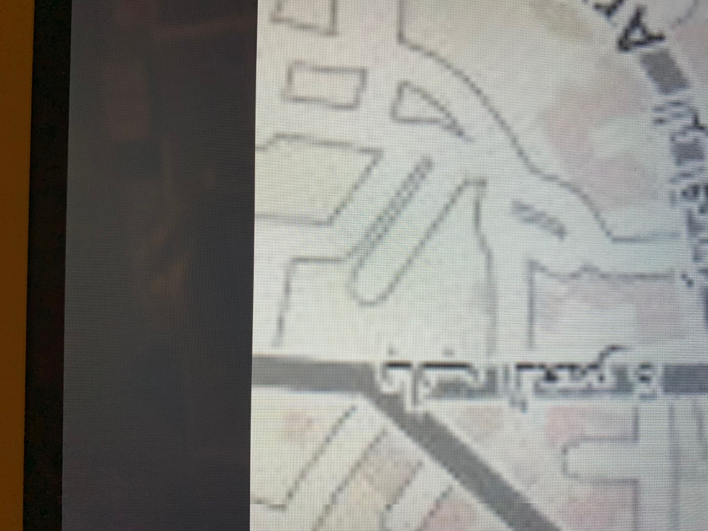
Thanks in advance for any help.
- Mark as New
- Bookmark
- Subscribe
- Mute
- Subscribe to RSS Feed
- Permalink
Blake,
From our conversation earlier, I see you are using 10.2.8 of our product. This is actually in Mature support.
Have you tried out your data in 100.5 which is our latest release? 100.5 is designed to support the latest developments in the ArcGIS Platform.
Can you give me a little more information on the tiled layers you are using? Are they public and can I try them?
Can you share any code?
Mark
- Mark as New
- Bookmark
- Subscribe
- Mute
- Subscribe to RSS Feed
- Permalink
Mark,
I have not yet tried out the latest version because our Android Application
runs on Android SDK 24. Will this newer version be compatible? Our software
is running on a device already packaged and ready for mass production and
it may not be easy to upgrade to a higher SDK without creating a lot more
problems. In the meantime I will locate and try the newer version. As for
the tiled layers I am using, they are likely not private. I will check on
that and get back to you. I cannot share much code unfortunately because
this is a highly regulated product.
Blake
- Mark as New
- Bookmark
- Subscribe
- Mute
- Subscribe to RSS Feed
- Permalink
Mark,
After attempting to use the new library. Class dependencies such as the following no longer exist and are causing compilation errors:
import com.esri.core.geometry.CoordinateConversion;
import com.esri.core.geometry.GeometryEngine;
import com.esri.core.geometry.Point;
import com.esri.core.geometry.SpatialReference;
I have found that these dependencies were moved. I changed the imports and all work but the CoordinateConversion which I new believe to be CoordinateFormatter? I am very weary and unsure about going down this rabbit hole of updating the whole library that is integrated into our application. There has to be a way to manually call the library to generate adjacent tiles. Please let me know your thoughts and if this is possible.
Thanks,
Blake
- Mark as New
- Bookmark
- Subscribe
- Mute
- Subscribe to RSS Feed
- Permalink
If you are aiming for API Level 24, that is Android 7 Nougat; not that old!
Min version we support in 100.5 is API Level 19 which is 4.4 Kitkat so you should be okay.
See https://developers.arcgis.com/android/latest/guide/system-requirements.htm
If you share any code, it is best just to have a very simple reproducer which only shows the issue you are experiencing.
- Mark as New
- Bookmark
- Subscribe
- Mute
- Subscribe to RSS Feed
- Permalink
Mark,
Is there no way to reproduce this issue by using an Android device running the same version of the library with any generic map. The problem simply occurs when you zoom in as far as possible. I am unable to share source code at this time. Is there any way to query the library manually to render nearby tiles? This would definitely be the best option because upgrading the library in our already tested product is not the best idea in our opinion. In the future it may be, but currently we need a fix quickly for clients.
Thanks,
Blake Edwards
- Mark as New
- Bookmark
- Subscribe
- Mute
- Subscribe to RSS Feed
- Permalink
Blake,
It's very hard for me to help if I can't see your code or your data. The problem could be caused by so many things:
- data issue - what is the format of your data? Is it tpk or tiled service. How was it generated?
- an issue in your code
- a bug in our software
You do really need to see if the bug happens on a supported version of our API - 100.5 is what I'd recommend. Have you tried with this version yet?
Appreciate you might not want to share things on a public forum. If you or your customer has a support contract with ESRI you could contact them with a reproducer and data which shows the issue. Again I'd recommend submitting the issue with 100.5 as this release is where our development efforts are concentrated. 10.2.8 is in mature support and quite an old product.
What a lot of people do in your position is to share a very focused application which ONLY shows the data failing to render and they supply a "sanitised" set of data.
I'm not aware of any methods of manually drawing map tiles; they should render without intervention and I'm sure you appreciate this is something we do quite a lot of.
I need more info to help with this; the problem could be so many different things.
Mark