- Home
- :
- All Communities
- :
- Products
- :
- ArcGIS Pro
- :
- ArcGIS Pro Questions
- :
- What is wrong with my Contours? I'm using ArcGIS P...
- Subscribe to RSS Feed
- Mark Topic as New
- Mark Topic as Read
- Float this Topic for Current User
- Bookmark
- Subscribe
- Mute
- Printer Friendly Page
What is wrong with my Contours? I'm using ArcGIS Pro
- Mark as New
- Bookmark
- Subscribe
- Mute
- Subscribe to RSS Feed
- Permalink
What is wrong with my Contours? I'm using ArcGIS Pro
I want my contours to look like Topo Lines on a topo map.
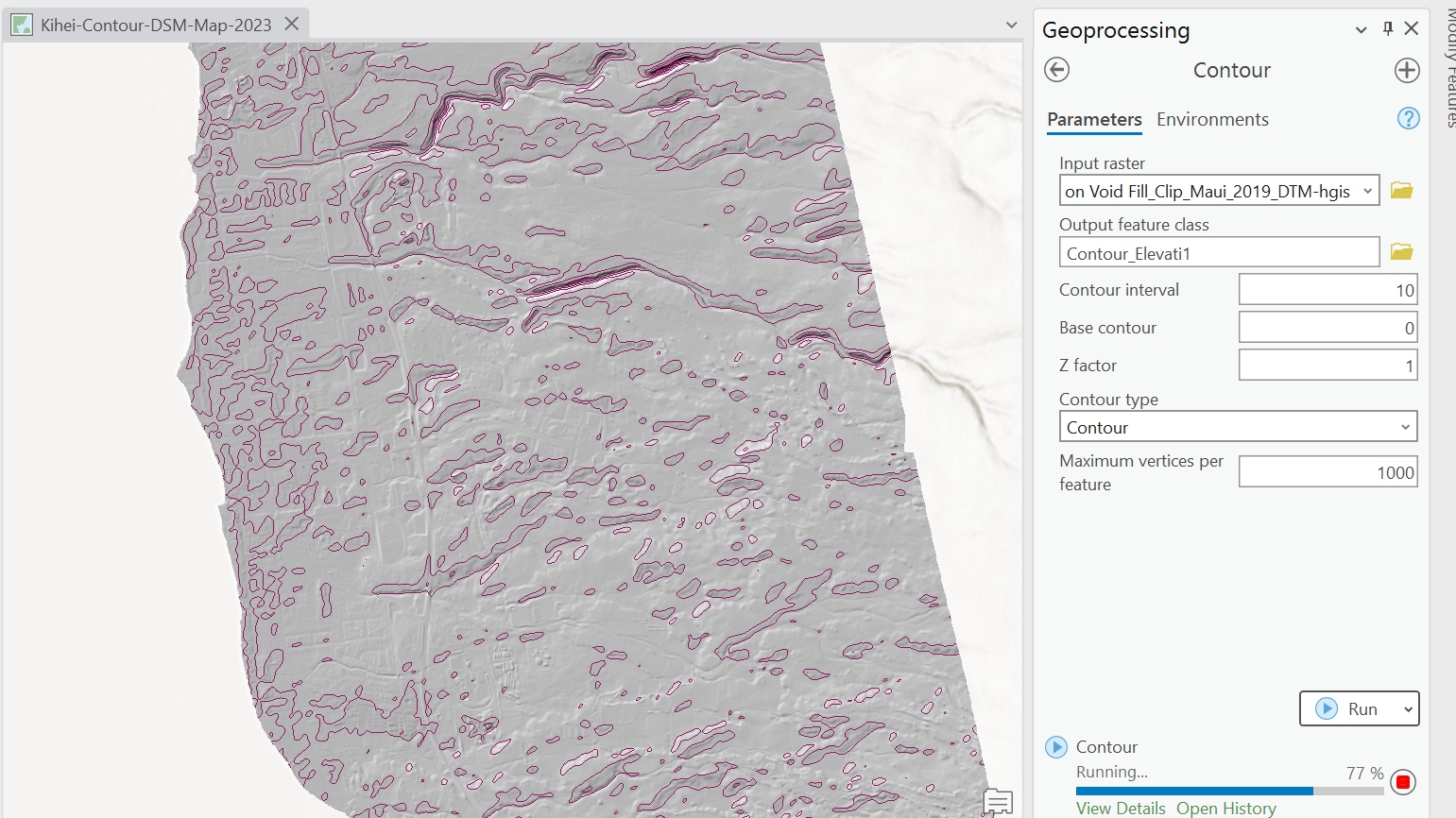
But these lines are not looking correct, I think it is a setting that I need to change, such as "contour interval" perhaps.
Solved! Go to Solution.
- Mark as New
- Bookmark
- Subscribe
- Mute
- Subscribe to RSS Feed
- Permalink
You will need to add the State of Hawaii's server to your project. To do that in ArcGIS Pro, go to the Insert tab, under Connections, and choose Server --> New ArcGIS Server:

For the server URL, put in https://geodata.hawaii.gov/arcgis/rest/services and then hit OK.
After that, you can add data straight from the State's server.
Go to Add Data --> Data --> Servers and choose the Hawaii server.

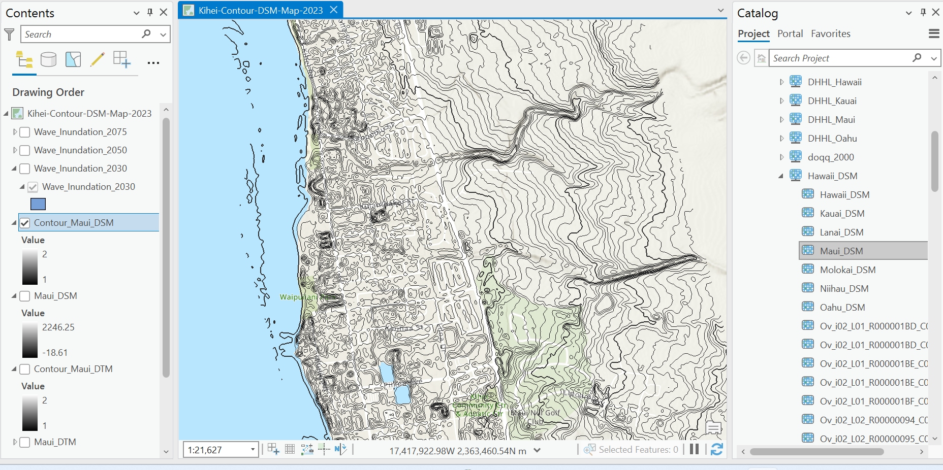
To find the dataset I was using, it's in SoH_Imagery --> Hawaii_DTM_elevation --> Maui_DTM.
Feel free to browse through the other datasets to see if they might work better.
- Mark as New
- Bookmark
- Subscribe
- Mute
- Subscribe to RSS Feed
- Permalink
Haha, no problem! This was not the most straight forward situation so it took a little bit of digging. Those are much better looking contour lines!
- « Previous
-
- 1
- 2
- Next »
- « Previous
-
- 1
- 2
- Next »