- Home
- :
- All Communities
- :
- Products
- :
- ArcGIS Pro
- :
- ArcGIS Pro Questions
- :
- Re: Viewshed irregularities
- Subscribe to RSS Feed
- Mark Topic as New
- Mark Topic as Read
- Float this Topic for Current User
- Bookmark
- Subscribe
- Mute
- Printer Friendly Page
Viewshed irregularities
- Mark as New
- Bookmark
- Subscribe
- Mute
- Subscribe to RSS Feed
- Permalink
I'm trying to find carry out a viewshed analysis but am not able to get consistent results.
Having tried and failed with viewshed and viewshed2 I discovered interactive viewshed analysis in ArcGIS Pro 2.5.0. This appeared promising but having input an observer offset of 10m and using the Ordnance Survey's 50cm DSM as the ground layer I was surprised to see the viewshed change as I zoomed the camera out (using the "C" shortcut to change the cursor to explorer mode). The ground layer uses EPSG: 27700 for the coordinate system and EPSG: 5701 for the vertical coordinate system. I'd like to know why this is happening as it makes any output from this tool unusable.

- Mark as New
- Bookmark
- Subscribe
- Mute
- Subscribe to RSS Feed
- Permalink
lots of options here, any particular settings you are using?
Interactive viewshed basics—ArcGIS Pro | Documentation
and at the very bottom there is this note...
Visual inaccuracies can appear as the viewshed's analysis range ratio increases.
- Mark as New
- Bookmark
- Subscribe
- Mute
- Subscribe to RSS Feed
- Permalink
Thanks for the quick response Dan. The settings I'm using are below: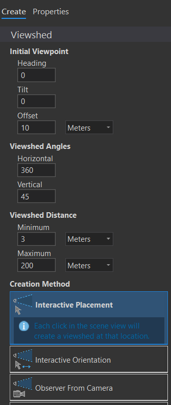
It seems that the tool is working off the pyramids rendered rather than the actual data values.
- Mark as New
- Bookmark
- Subscribe
- Mute
- Subscribe to RSS Feed
- Permalink
Other than the statement, that it takes "a raster approach", there is nothing I can find, other than the exploratory videos... sorry
Exploratory analysis how-to videos—ArcGIS Pro | Documentation
- Mark as New
- Bookmark
- Subscribe
- Mute
- Subscribe to RSS Feed
- Permalink
Thanks for trying Dan. I'm struggling to think of a use case for a "sometimes" accurate analysis tool. Do you have any experience with the viewshed or viewshed 2 geoprocessing tools? I tried both prior to using the interactive one but had very mixed results.