Turn on suggestions
Auto-suggest helps you quickly narrow down your search results by suggesting possible matches as you type.
Cancel
- Home
- :
- All Communities
- :
- Products
- :
- ArcGIS Pro
- :
- ArcGIS Pro Questions
- :
- Re: unable to see LAS data points after creating L...
Options
- Subscribe to RSS Feed
- Mark Topic as New
- Mark Topic as Read
- Float this Topic for Current User
- Bookmark
- Subscribe
- Mute
- Printer Friendly Page
unable to see LAS data points after creating LAS point cloud datasheet
Subscribe
1655
1
03-22-2019 11:17 PM
03-22-2019
11:17 PM
- Mark as New
- Bookmark
- Subscribe
- Mute
- Subscribe to RSS Feed
- Permalink
Hi, i am following the Create elevation layers—Extract Roof Forms for Municipal Development | ArcGIS tutorial to extract roof forms of my own lidar data.
when i create a LAS point cloud datasheet, i get a red bounded outline. i have tried zooming in to see the points and that also did not work.I have run my LAS files in Online LIDAR point cloud viewer and the points show up there.
I have also tried using the local government scene template.
it would be great if someone could help me as i need to get this running as part of my final year engineering project.
1 Reply
12-04-2019
10:27 AM
- Mark as New
- Bookmark
- Subscribe
- Mute
- Subscribe to RSS Feed
- Permalink
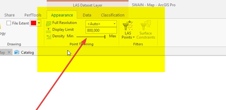
What are your appearance settings? Have you zoomed ALL the way in?