- Home
- :
- All Communities
- :
- Products
- :
- ArcGIS Pro
- :
- ArcGIS Pro Questions
- :
- Re: Trying to create a food desert map for New Orl...
- Subscribe to RSS Feed
- Mark Topic as New
- Mark Topic as Read
- Float this Topic for Current User
- Bookmark
- Subscribe
- Mute
- Printer Friendly Page
Trying to create a food desert map for New Orleans, having trouble finding population density and income datasets?
- Mark as New
- Bookmark
- Subscribe
- Mute
- Subscribe to RSS Feed
- Permalink
I have information on grocery stores in New Orleans and wanted to create a food desert map based on population within a certain radius of grocery stores. I also wanted to compare these locations with income or education status (maybe even obesity stats) but I am having trouble finding this data. Any tips on how to complete this project? A bit inexperienced with ArcGIS. Thank you
- Mark as New
- Bookmark
- Subscribe
- Mute
- Subscribe to RSS Feed
- Permalink
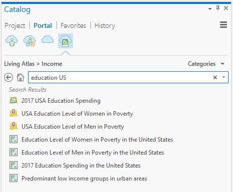
Yes, you can use the Catalog Pane in ArcGIS Pro to search for income and education layers. In the Catalog Pane, click Portal and then the Cloud below the word Portal. In the search box, type "income" or "education" and view the results. Another option is to use the Living Atlas information also available in the Catalog Pane - it's to the right of the cloud icon and from there click Categories->Demographics and Lifestyles