- Home
- :
- All Communities
- :
- Products
- :
- ArcGIS Pro
- :
- ArcGIS Pro Questions
- :
- Re: "Failed to display the raster layer as Classif...
- Subscribe to RSS Feed
- Mark Topic as New
- Mark Topic as Read
- Float this Topic for Current User
- Bookmark
- Subscribe
- Mute
- Printer Friendly Page
"Failed to display the raster layer as Classify" in Arcpro 2.3.1, but works in ArcMap
- Mark as New
- Bookmark
- Subscribe
- Mute
- Subscribe to RSS Feed
- Permalink
Hi,
I am trying to symbolize a USGS DEM elevation raster into 2 classes: Values above 100 and values below 100.
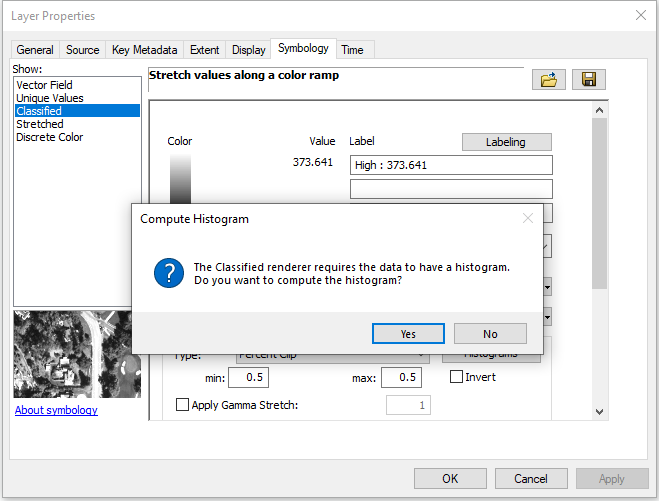
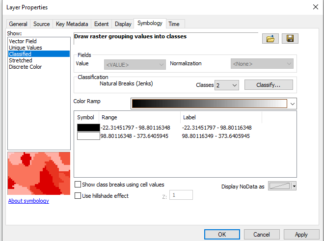
In ArcMap, I have no trouble doing this. I open the raster properties and click "Classified". I answer "yes" to the question about computing a histogram:


No problem there.
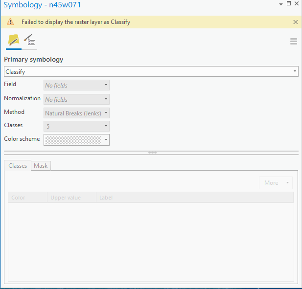
However if I try to do this in ArcPro 2.3.1 on the same exact raster, it won't work

What am I doing wrong?
Thank you for the help!
- Mark as New
- Bookmark
- Subscribe
- Mute
- Subscribe to RSS Feed
- Permalink
Thank you
- Mark as New
- Bookmark
- Subscribe
- Mute
- Subscribe to RSS Feed
- Permalink
Great!!! Thanks.
- Mark as New
- Bookmark
- Subscribe
- Mute
- Subscribe to RSS Feed
- Permalink
Hello, I've also tried the steps above but I still get the error message "Failed to display the raster layer as Classify". Are there any other solutions available?
Thank you.
- Mark as New
- Bookmark
- Subscribe
- Mute
- Subscribe to RSS Feed
- Permalink
I am still getting the same error "Failed to display the raster layer as Classify" what should i do to solve it?
- Mark as New
- Bookmark
- Subscribe
- Mute
- Subscribe to RSS Feed
- Permalink
upping the Maximum number of unique values(all the way to 100 million!) worked for me. i originally stopped at 10 million thinking that was already ridiculous and still receiving the error. but 100 million worked for me..
- « Previous
-
- 1
- 2
- Next »
- « Previous
-
- 1
- 2
- Next »