- Home
- :
- All Communities
- :
- Products
- :
- ArcGIS Pro
- :
- ArcGIS Pro Questions
- :
- Re: Map view angle slanted when copying route laye...
- Subscribe to RSS Feed
- Mark Topic as New
- Mark Topic as Read
- Float this Topic for Current User
- Bookmark
- Subscribe
- Mute
- Printer Friendly Page
Map view angle slanted when copying route layer from another map
- Mark as New
- Bookmark
- Subscribe
- Mute
- Subscribe to RSS Feed
- Permalink
I'm trying to do a Layout page of a network analyst route with overview, start detail and destination detail. As instructed on documentation, I have created 3 diffrent maps and copy the necessary data (route layer) to all 3 maps. However, when I copy the NA route layer, the map view of the copy destination map gets slanted. View is not from directly above, but maybe at 45 degrees looking from south to north). Map's Properties dialog still shows that Rotation angle is 0 and changing it does not affect the view angle. In the copy origin map the view is directly from above.
How I can correct this view angle? I just can't find any location where that could be changed even with some googling. :)d
Solved! Go to Solution.
Accepted Solutions
- Mark as New
- Bookmark
- Subscribe
- Mute
- Subscribe to RSS Feed
- Permalink
Thanks for the screenshots. I'm guessing that these two maps do not have the same coordinate system. A new map (with a basemap) will take the basemap's coordinate system (WGS84 Web Mercator) as the default. However, the map's coordinate system can change if the first layer added to map has a different coordinate system than the basemap. When you added NA Route layers I'm guessing the map's coordinate system changed to WGS 84. This change from WGS84 Web Mercator (projected) to WGS84 (geographic) would explain the different appearance.
For more information see Specify a coordinate system.
Hope this helps,
Tom
- Mark as New
- Bookmark
- Subscribe
- Mute
- Subscribe to RSS Feed
- Permalink
Make sure that the coordinate systems of your different maps are the same (and ideally match the coordinate system of your feature classes :

Have a great day!
Johannes
- Mark as New
- Bookmark
- Subscribe
- Mute
- Subscribe to RSS Feed
- Permalink
Maps are really simple, Navigation basemap and the Route layer group created by NA Route tool. Apparently you can't copy the entire Route layer group, so I just copied the stops and route layer to the start/destination detail maps. I haven't specified any Coordinate systems on them. Basemap seems to be WGS84 Web Mercator projection as expected and NA Route layers are WGS84 Geograpic coordinates, again as expected. So this behavior should be pretty easy to reproduce. I'm also at fresh install of ArcGis Pro, so there shouldn't be any quirky Project template settings in play.
- Mark as New
- Bookmark
- Subscribe
- Mute
- Subscribe to RSS Feed
- Permalink
Hi Petri,
When you say the map is "slanted" and the "view is not from directly above" it sounds like you are viewing a Scene (3D) and not a 2D map. Is this the case? If you are unsure can you provide a screenshot showing the tabs at the top of the view window?
Thanks,
Tom
- Mark as New
- Bookmark
- Subscribe
- Mute
- Subscribe to RSS Feed
- Permalink
Hi Tom,
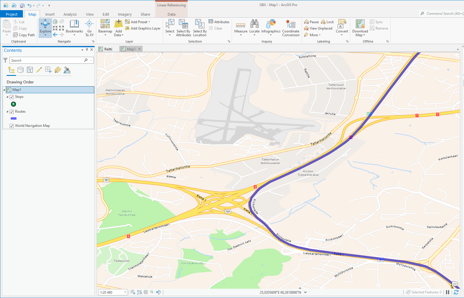
Here are the screenshots of the two map tabs. DetailMap basemap looks initially the same as the Original and the view changes when I paste the Route and Stops layers.
Edit: I added the second map from Insert Tab -> Map tool -> New map and changed the Topographic basemap to Navigation basemap.
Edit2: I'm on version 2.9.2 and just re-installed the 2.9.2 patch just in case. Installed 2.9 yesterday and patched. But I just noticed when I tried again with a fresh project that now I get directions on English, but yesterday I got them in Finnish, I have Finnish Win10, but haven't installed language pack to Pro. And I'm using Developer Professional license and ArcGIS Online NA service.
- Mark as New
- Bookmark
- Subscribe
- Mute
- Subscribe to RSS Feed
- Permalink
Thanks for the screenshots. I'm guessing that these two maps do not have the same coordinate system. A new map (with a basemap) will take the basemap's coordinate system (WGS84 Web Mercator) as the default. However, the map's coordinate system can change if the first layer added to map has a different coordinate system than the basemap. When you added NA Route layers I'm guessing the map's coordinate system changed to WGS 84. This change from WGS84 Web Mercator (projected) to WGS84 (geographic) would explain the different appearance.
For more information see Specify a coordinate system.
Hope this helps,
Tom
- Mark as New
- Bookmark
- Subscribe
- Mute
- Subscribe to RSS Feed
- Permalink
Yep, that was it. Thank you.
Kudos also to @JohannesLindner on suggesting this originally. I just didn't catch it then.
Edit: When NA adds the WGS84 Geographic layers to the original map the same does not happen, which made me doubt this problem in the first place.
- Mark as New
- Bookmark
- Subscribe
- Mute
- Subscribe to RSS Feed
- Permalink
Glad I could help.