- Home
- :
- All Communities
- :
- Products
- :
- ArcGIS Pro
- :
- ArcGIS Pro Questions
- :
- International Dateline issue
- Subscribe to RSS Feed
- Mark Topic as New
- Mark Topic as Read
- Float this Topic for Current User
- Bookmark
- Subscribe
- Mute
- Printer Friendly Page
International Dateline issue
- Mark as New
- Bookmark
- Subscribe
- Mute
- Subscribe to RSS Feed
- Permalink
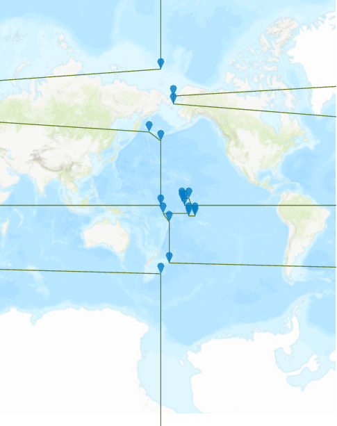
I'm trying to display the international dateline on my map and it is not drawing properly. Any idea on how to fix this issue?
- Mark as New
- Bookmark
- Subscribe
- Mute
- Subscribe to RSS Feed
- Permalink
Where is the data from and what is its spatial reference?
And what is the coordinate system of the map?
I just added https://www.arcgis.com/home/item.html?id=68f844f9efd04df6a4636e0f410ac072 to a map in Pro and see the following:

Here is some information that may be helpful: https://desktop.arcgis.com/en/arcmap/latest/map/projections/what-happens-to-features-at-180-dateline...
Depending on the coordinate system of the map, you could try changing its parameters (right-click> Copy and Modify) https://pro.arcgis.com/en/pro-app/latest/help/mapping/properties/define-a-new-coordinate-system.htm#... to set the Central Meridian to 180 and see if that helps.