- Home
- :
- All Communities
- :
- Products
- :
- ArcGIS Pro
- :
- ArcGIS Pro Questions
- :
- How to create a layer from Global Land Cover?
- Subscribe to RSS Feed
- Mark Topic as New
- Mark Topic as Read
- Float this Topic for Current User
- Bookmark
- Subscribe
- Mute
- Printer Friendly Page
- Mark as New
- Bookmark
- Subscribe
- Mute
- Subscribe to RSS Feed
- Permalink
In ArcGIS Pro, there is a layer called "Global Land Cover 2020" and "Global Land Cover 1992" in Living Atlas. I would like to essentially make another layer of the exact data in these 2 layers, but segment it into a smaller town so that I can perform spatial analysis on deforestation in that town. For example, I would like to create layers "Land Cover Town Name 2020" and "Land Cover Town Name 1992." I also need to convert the land cover types to square kilometers so I can perform spatial analysis. What is the best way to accomplish this?
- Mark as New
- Bookmark
- Subscribe
- Mute
- Subscribe to RSS Feed
- Permalink
Start with creating a local copy of the data you need by exporting the area of interest.
Note: Problem: Unable to Use Geoprocessing Tools on the ArcGIS Living Atlas of the World Image S
and Re: Error 001491 When trying to clip Global Land C... - Esri Community
Alternatively directly grab the data from the USGS https://community.esri.com/t5/arcgis-pro-questions/landuse-land-cover-for-my-study-area/m-p/1109943
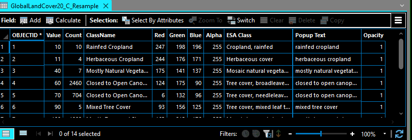
Once you have the data locally, you can Resample (Data Management)—ArcGIS Pro | Documentation if that is what you are looking for