I have data with X/Y data that plots and I'm trying to get it to look like so:
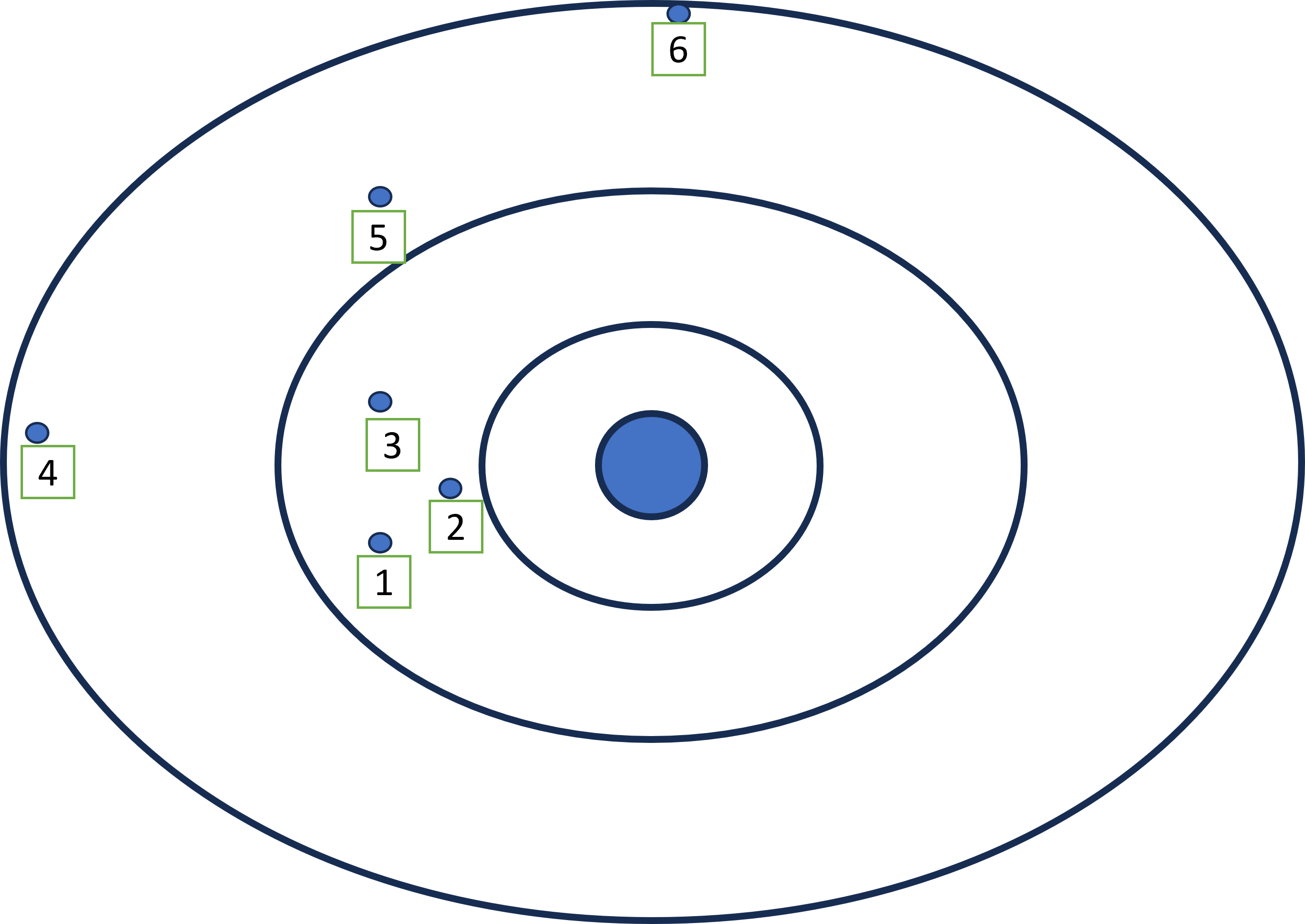
I've tried near analysis, and it gets me close but doesn't label them in a clockwise manner. Is there any geoprocessing tool or arcpy process that I'm overlooking that will accomplish this?


