Hi all,
This should be a simple problem. I am looking to select based on location a shapefile that was made to help fix a dem.
I was thinking turning the polygon to line, then creating points at the edges, then buffering and erasing that from the lines. This should have given me a series of lines from which I could select the tiles from. This would require a bit of editing but in comparison to the work I would have to do otherwise (manual selection), it beats it.
However. Points are not generated at the ends of the shapefile and besides it is not a seamless solution as it would still require manual editing.
Does anyone in the community have suggestions?
Ideally, if I could split it, then remove the unedited line that would leave me with the edited line, that would be fantastic!

Blue - Side of the tiles I wish to select. This is merely representative. The list of tiles, that I wish to get, lie within all the edited side.
red - shapefile
purple - list of tiles.
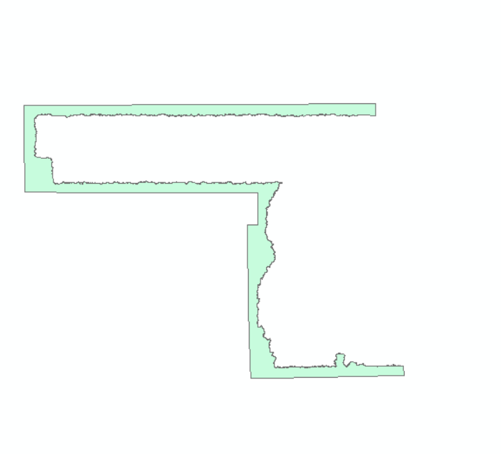
green - shape of the shapefile.
Many thanks and kind regards,
Matthew