- Home
- :
- All Communities
- :
- Products
- :
- ArcGIS Pro
- :
- ArcGIS Pro Questions
- :
- Re: Extent problem while clipping Points and polyg...
- Subscribe to RSS Feed
- Mark Topic as New
- Mark Topic as Read
- Float this Topic for Current User
- Bookmark
- Subscribe
- Mute
- Printer Friendly Page
Extent problem while clipping Points and polygon
- Mark as New
- Bookmark
- Subscribe
- Mute
- Subscribe to RSS Feed
- Permalink
I want to clip points to the boundary(polygon) shapefile. I have common Projection system for both points and polygon. But the output extent while clipping is not matching with the polygon. I want the exact same extent, as the boundary shapefile, for the clipped points. Can anybody help me with this?
- Mark as New
- Bookmark
- Subscribe
- Mute
- Subscribe to RSS Feed
- Permalink
Can you include a screenshot? Does the shapefile contain many features, or a single polygon feature?
Are you using a selection? It would be really helpful to see what you're trying to accomplish.
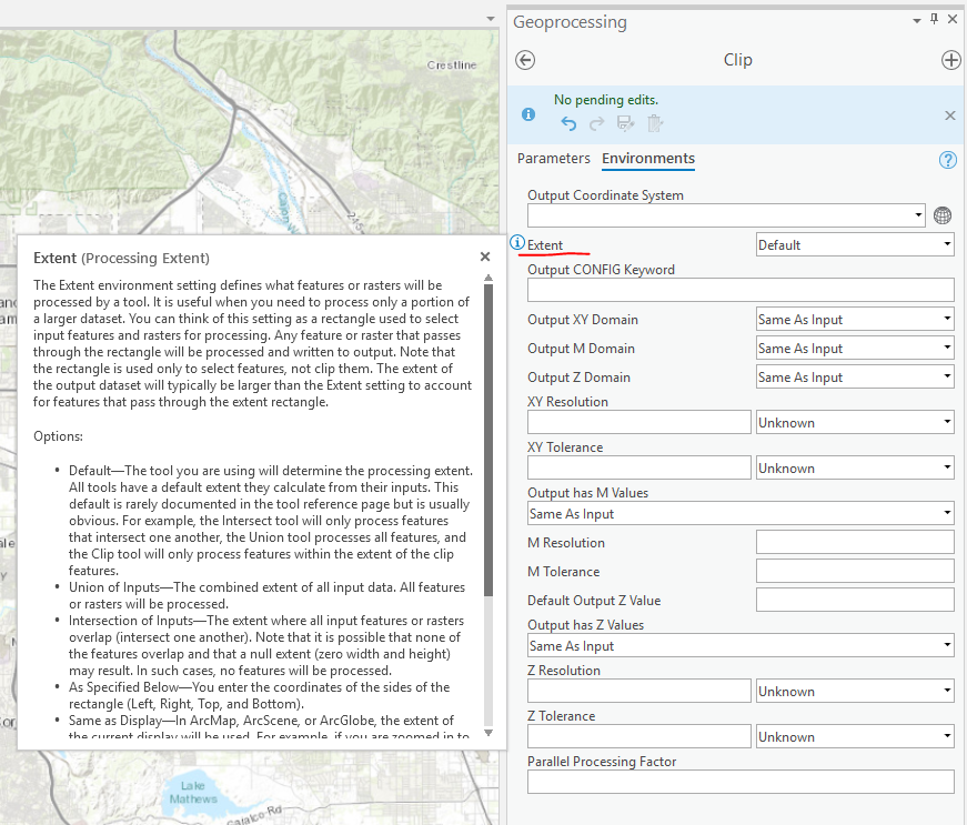
Have you made any changes away from the Default processing extent?
- Mark as New
- Bookmark
- Subscribe
- Mute
- Subscribe to RSS Feed
- Permalink

I have boundary shapefile file of whole the United States, and points over a certain area. I want to clip these points on each boundary shapefile. I want the exact extent for those output clipped points for further processing.
Here are I have attached two images showing different extent for boundary shapefile and the clipped point shapefile.

- Mark as New
- Bookmark
- Subscribe
- Mute
- Subscribe to RSS Feed
- Permalink
And when you clip your points to bdy_20, for example, you aren't getting the expected results?
- Mark as New
- Bookmark
- Subscribe
- Mute
- Subscribe to RSS Feed
- Permalink
Yeah!
- Mark as New
- Bookmark
- Subscribe
- Mute
- Subscribe to RSS Feed
- Permalink
I would suspect multipoint or multipart features. Perhaps review the geometries.