- Home
- :
- All Communities
- :
- Products
- :
- ArcGIS Pro
- :
- ArcGIS Pro Questions
- :
- Custom Reference Grid
- Subscribe to RSS Feed
- Mark Topic as New
- Mark Topic as Read
- Float this Topic for Current User
- Bookmark
- Subscribe
- Mute
- Printer Friendly Page
- Mark as New
- Bookmark
- Subscribe
- Mute
- Subscribe to RSS Feed
- Permalink
I have created a custom reference grid that is based on county quarter sections.
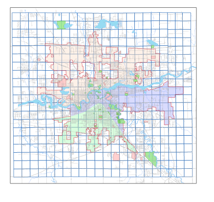
This issue I am having is when I expand the map frame to the desired extent the labels for the reference grid disappear, is this a bug or is there a parameter that I am missing?
I have attempted to activate and adjust the map frame without expanding the layout but the grid labels still disappear.
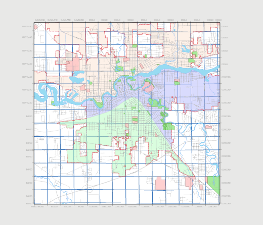
Scale when activated and adjusting map frame, all labels are visible, but when I expand to the desired scale they are not visible?
Solved! Go to Solution.
- Mark as New
- Bookmark
- Subscribe
- Mute
- Subscribe to RSS Feed
- Permalink
James, how did you manage to get the township and range numbers to show up on the proper axis? I am still unable to set the selected edges for visibility. Using arcade did prevent the crashes though!! Thanks.
- Mark as New
- Bookmark
- Subscribe
- Mute
- Subscribe to RSS Feed
- Permalink
I have the same issues with the Township and on the right side the labels disappear.
- « Previous
-
- 1
- 2
- Next »
- « Previous
-
- 1
- 2
- Next »