- Home
- :
- All Communities
- :
- Products
- :
- ArcGIS Pro
- :
- ArcGIS Pro Questions
- :
- Clip a heatmap using another feature
- Subscribe to RSS Feed
- Mark Topic as New
- Mark Topic as Read
- Float this Topic for Current User
- Bookmark
- Subscribe
- Mute
- Printer Friendly Page
Clip a heatmap using another feature
- Mark as New
- Bookmark
- Subscribe
- Mute
- Subscribe to RSS Feed
- Permalink
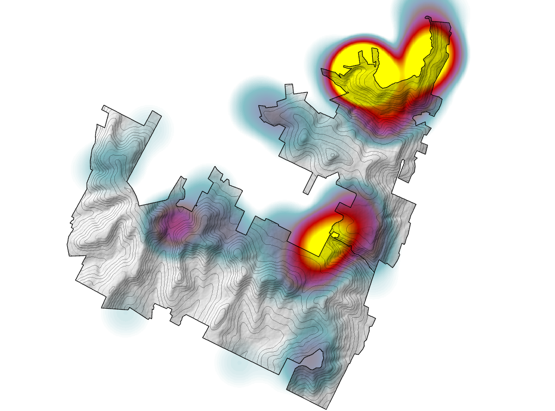
I have created a heatmap of density of rescue operations in a state park and would like to clip it so that it doesn't bleed beyond the borders of that park. I tried the Clip tool and had no success. Then I thought to convert to a Raster beforehand but that too didn't give the desired result.
As I am relatively new to ArcGIS, I am hoping someone can help me with this.
Thank you
Solved! Go to Solution.
Accepted Solutions
- Mark as New
- Bookmark
- Subscribe
- Mute
- Subscribe to RSS Feed
- Permalink
If you did create your heatmap as a raster using Point Density or Kernel Density, another thing you can do is actually an environment setting before you run the Point Density or Kernel Density. It's called Mask, and it will limit the output of your tool to just your desired area.
https://pro.arcgis.com/en/pro-app/latest/tool-reference/environment-settings/mask.htm

Or you can run Extract by Mask after the fact. The mask can be a polygon.
https://pro.arcgis.com/en/pro-app/latest/tool-reference/spatial-analyst/extract-by-mask.htm
- Mark as New
- Bookmark
- Subscribe
- Mute
- Subscribe to RSS Feed
- Permalink
Why did the Clip tool not work? Is it giving you a specific error? Do you have a separate feature in your gdb that shows the limits of the state park?
- Mark as New
- Bookmark
- Subscribe
- Mute
- Subscribe to RSS Feed
- Permalink
I believe you may be using the wrong GP tool. When you create a Point Density or a Kernel Density, the output is a raster. Then you apply a color scheme (temperature) to create the heat map. Now if you're using the Heat Map symbology for the point feature class, then ArcGIS Pro creates an on the fly raster for symbology. With that said, if you use the density GP tools, then you would use the Clip Raster GP tool to create the raster "clipped" by a border.
- Mark as New
- Bookmark
- Subscribe
- Mute
- Subscribe to RSS Feed
- Permalink
If you did create your heatmap as a raster using Point Density or Kernel Density, another thing you can do is actually an environment setting before you run the Point Density or Kernel Density. It's called Mask, and it will limit the output of your tool to just your desired area.
https://pro.arcgis.com/en/pro-app/latest/tool-reference/environment-settings/mask.htm
Or you can run Extract by Mask after the fact. The mask can be a polygon.
https://pro.arcgis.com/en/pro-app/latest/tool-reference/spatial-analyst/extract-by-mask.htm