- Home
- :
- All Communities
- :
- Products
- :
- ArcGIS Pro
- :
- ArcGIS Pro Ideas
- :
- Please allow to remove file extent for LAS on ArcG...
- Subscribe to RSS Feed
- Mark as New
- Mark as Read
- Bookmark
- Follow this Idea
- Printer Friendly Page
Please allow to remove file extent for LAS on ArcGIS Pro.
- Mark as New
- Bookmark
- Subscribe
- Mute
- Subscribe to RSS Feed
- Permalink
Please allow to remove file extent for LAS on ArcGIS Pro.
Loaded LAS data on ArcMap, ArcScene, and ArcGIS Pro. On ArcGIS Pro, I couldn't remove file extent for LAS.
I could make it transparent, but the boundaries were still there.
I want to remove the file extent(red boundaries) and export the scene with basemap on a full extent.
I want to display points at 1200m map frame scale to see all the data on one sight, but the file extent doesn't disappear).
The extent is still there when he save the Scene to pdf.
ArcMap and ArcScene can disable the file extent by unchecking "Always display LAS file extents" option.
But I have to use ArcGIS Pro because ArcScene doesn't support basemaps.
Thank you.
Best,
Joora
Thank you for submitting this idea Joo-ra Baek.
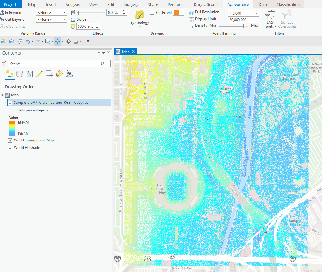
From reading the description, it sounds like you're requesting the File Extent checkbox that already exists in the LAS Dataset Layer > Appearance > Drawing group.
Since it sounds like that isn't working for you, it would be good to get more details about why/in what situations that doesn't work. Are you able to provide screenshots and more description about when the File Extent check box does not do what you need it to do?
Thanks!
Hello, this is Joora from Esri Korea.
I am so sorry for my late replay and really appreciate your reply.
This screenshot of my Scene on ArcGIS Pro 2.5.2.
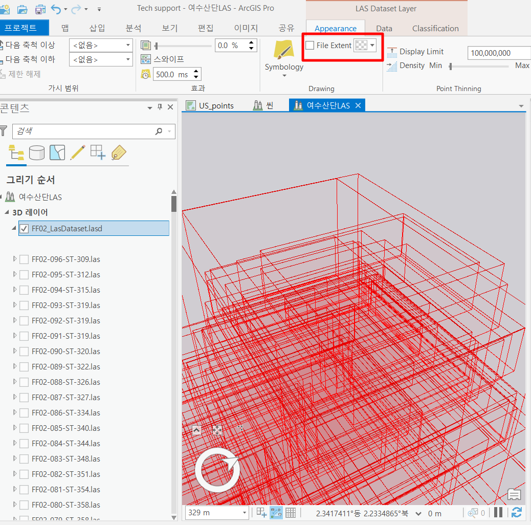
I've unchecked the checkbox under Appearance > File Extent and make it transparent.
But the file extent(red boundaries) still appear on the scene.
I am upgrading the ArcGIS Pro to 2.6.2 now. I will update if there is any change after the upgrade.
I've been tried to repair the software and remove the extent, but didn't work.
Thank you so much.
Best,
Joora
It looks like you're working on this through [ENH-000134189: Request to allow to remove file extent for LAS on ArcGIS Pro.]
Yeah, this issue is related to ENH-000134189.
Think it is still impossible to remove the file extent on the Scene of ArcGIS Pro.
I checked the Development team is working on it. Hopefully it is fixed soon.
Thank you for double checking.
Best,
Joora
With the introduction of las dataset pyramids in ArcGIS Pro 2.6 (https://pro.arcgis.com/en/pro-app/latest/help/data/las-dataset/las-dataset-pyramids.htm) the layer can be displayed in Pro scenes without extent boxes. Build a pyramid for the las dataset and it will draw zoomed to full extent without those boxes. This is an app framework design difference between ArcGIS Pro and ArcScene since ArcScene doesn't support las dataset pyramids.
You must be a registered user to add a comment. If you've already registered, sign in. Otherwise, register and sign in.