- Home
- :
- All Communities
- :
- Products
- :
- ArcGIS Online
- :
- ArcGIS Online Questions
- :
- Re: OGC wfs layer labelling issue in ArcGIS Online
- Subscribe to RSS Feed
- Mark Topic as New
- Mark Topic as Read
- Float this Topic for Current User
- Bookmark
- Subscribe
- Mute
- Printer Friendly Page
OGC wfs layer labelling issue in ArcGIS Online
- Mark as New
- Bookmark
- Subscribe
- Mute
- Subscribe to RSS Feed
- Permalink
- Report Inappropriate Content
Good day
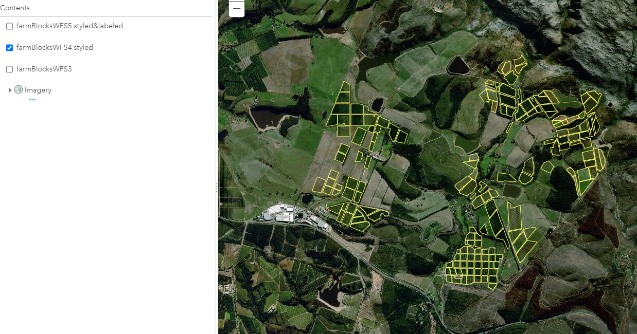
We have an organization account for AGOL and a Geoserver instance running on AWS. When I add a WFS from Geoserver to a new map in AGOL as OGC WFS, everything works 100%, I can style the wfs layer, label it, etc. The problem is that when I save the map after styling and labeling the layer and I then reopen it, the layer does not show any features. If I leave the default symbology as is and save the map the layer shows up fine after reopening the map. I can even change the symbology and it still works fine after reopening the map, but as soon as I label the features it just disappears when I reopen the map. Has anyone experienced this problem? any tips and suggestions will be appreciated
TIA
Hugo
- Mark as New
- Bookmark
- Subscribe
- Mute
- Subscribe to RSS Feed
- Permalink
- Report Inappropriate Content
Hi, I'm experiencing the exact same issue: labeling a WFS layer from GeoServer causes the the features to disappear. No problem with symbolizing and managing popups.
Another, perhaps related issue is that the option to label the WFS with Arcade expression is not available.
- Mark as New
- Bookmark
- Subscribe
- Mute
- Subscribe to RSS Feed
- Permalink
- Report Inappropriate Content
"the option to label the WFS with Arcade expression is not available"
Does anyone know wether there is an (alternative) option to use Arcade expressions on labels on a WFS layer from GeoServer? I see the Arcade option for labels on all my layers in AGOL Map Viewer, except for the WFS layers coming from GeoServer...