- Home
- :
- All Communities
- :
- Products
- :
- ArcGIS Online
- :
- ArcGIS Online Questions
- :
- Re: copy restricted layer from AGOL in ArcGIS Pro?
- Subscribe to RSS Feed
- Mark Topic as New
- Mark Topic as Read
- Float this Topic for Current User
- Bookmark
- Subscribe
- Mute
- Printer Friendly Page
copy restricted layer from AGOL in ArcGIS Pro?
- Mark as New
- Bookmark
- Subscribe
- Mute
- Subscribe to RSS Feed
- Permalink
please help me with this :
if I upload a group of Feature Class to AGOL(poweline point, line and polygon data only) , its possible to avoid any kind of copy/extraction via Geoprocessing in ArcGIS Pro/Desktop?
my colleague, from AGP, loaded this shared Feature Classes, easily made a copy (by Feature to Line, Feature to polygon and Feature to point, and others GP too) of all our data. Even if this have copy restrictions.
my upload process
in AGOL i Create a Group > [powerlines]
invite existent AGOL user > "colleague"
Publish Web Layer > General tab > share with > [powerlines] (our group) > No editing capabilities, no download data allowed
Colleague load powerline FC into AGP > make any Geoprocessing > obtain all "protected" layers from AGOL (!!!)
Any Suggestions? (sorry for my limited writing capabilities)
- Mark as New
- Bookmark
- Subscribe
- Mute
- Subscribe to RSS Feed
- Permalink
this extension represent Chilean powerline grid Feature Classes. Chile is a very long country and all this layers reach about 2,760 km from North To South (1,710 Miles).
The data in numbers and extension:
- Planned powerplants, taps or Substations (Point) 363 entities
- Planned powerplants, taps or Substations (Polygon) 333 entities with 989.33 km² of coverage (381.9 sq miles)
- Planned Powerlines (Lines) 320 entities with 2,455.22 km long (1,525.6 Miles)
- Existent powerplants, taps or Substations (Point) 1603 entities
- Existent powerplants, taps or Substations (Polygon) 1,095 entities with 596.40 km² of coverage (230.2 sq miles)
- Existent Powerlines (Lines) 1,512 entities with 35,951.23 km long ( 22,339 Miles)
- Existent substation equipment (Point) (not complete) 5,473 entities
- Existent Substation equipment (Line) (not complete) 6,223 entities with 114,16 km long ( 70.9 Miles)
- Existent Substation equipment (Polygon) (not complete) 419 entities with 0.82 km² of coverage (0.31 sq miles)
Adam, its posibble to make this data in vector tile format without compromise security (VERY VERY IMPORTANT) and also cost effective way to publish?
Thanks Again!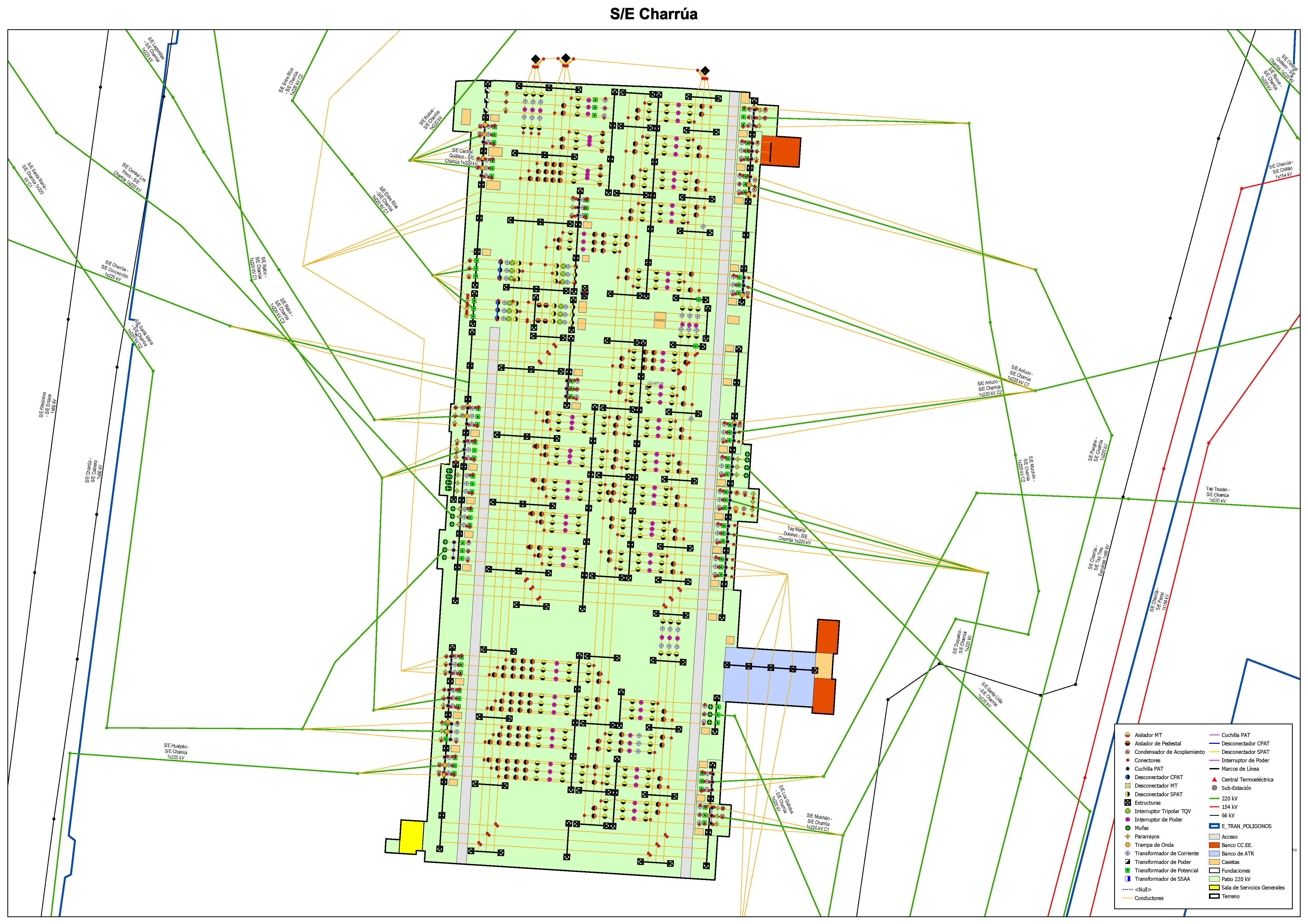
- Mark as New
- Bookmark
- Subscribe
- Mute
- Subscribe to RSS Feed
- Permalink
Miguel,
Thanks for the detailed description. I want to start by saying: The most secure thing we can do with data is not share it at all.
If we do decide to share it, whoever has access to it will absolutely have access to what was shared, and may even have clever ways to copy that information that are out of our control. When sharing different service types each shares different aspects of the data. but note no Method here is completely secure and free from being copied. In my opinion, The Cached map/tile Service is probably the method that is the hardest to copy, the Vector tiles is a little less secure, and feature service being the least. Here is a breakdown I hope helps:
Cached Map Service/ Hosted Tile Service
- Shares a mosaic of Images that represent your data. This can hide your true attributes and geometry but will provide location of objects in the images.
Hosted Vector tile layer
- Sharing Vector tiles will share the geometry, and/or attributes. Each tiles will be encoded with the vector information, this encoding includes the geometry and may or may not include attributes of your features, you can control if fields are shared by Highlighting them in the Fields view prior to sharing the data in ArcGIS Pro.
Feature Service/Hosted Feature Layers:
- Sharing the Feature will share access the records, attributes, and geometry in the data, including editing access if that is enabled.
My hope with the information here will provide an idea of the capabilities of the software, and how each methodology differs.
Ultimately, if we are not willing to share any part of the data, don't share it.
Hope this helps
- Adam
- Mark as New
- Bookmark
- Subscribe
- Mute
- Subscribe to RSS Feed
- Permalink
Thank you very very much for this useful advices Adam. now i must think and choose wisely what option fit better in our organization.

- « Previous
-
- 1
- 2
- Next »
- « Previous
-
- 1
- 2
- Next »