Hi there!
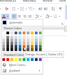
I'm one of those rare specimens of GIS professionals that are colorblind, and I'm having trouble with setting my symbology in webmaps because there is no mouseover text to tell me what color I'm choosing (see image #1). I can kind of tell by the hex number, but it'd be nice to have the color information show like it does in MS Word (see image #2)
Image 1 (AGOL Webmap):
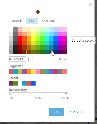
Image 2 (MS Word interface):
Thanks,
David Forbuss
GIS Technician
Rogue Valley Sewer Services
138 West Vilas Road
Central Point, OR 97502
RVSS.US
541-664-6300 ext. 238