Hello,
I created a multiple disk buffer of a lake. In Theory I should see a 100 foot disk on top of a 500 foot disk. However, I did not as it appears the 500 foot disk is displaying on top of the 100 foot disk. This creates a problem since ArcGIS Online does not allow users to control symbology order within a layer. To work around this issue users could load the layer twice and apply separate filters, however that seems to take several unnecessary steps.
It might be easier for users if ESRI would take one of the following steps.
- Allow symbol levels (at least to a basic degree so features draw in order of what appears in the table of contents)
- change how the multiple ring buffer geoprocessing tool works so that output is in an order that naturally displays the 100 foot buffer on top of the 500 foot buffer. This might involve first creating a 500 foot buffer first then creating a 100 foot buffer within the geoprocessing tool.
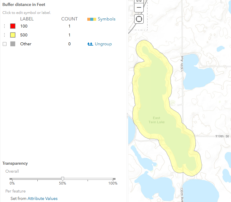
Figure 1. The 100 foot disk buffer is missing in the multiple distance output because it is covered by the 500 foot buffer.