- Home
- :
- All Communities
- :
- Products
- :
- ArcGIS Online
- :
- ArcGIS Online Ideas
- :
- Add GPS coordinates to image
- Subscribe to RSS Feed
- Mark as New
- Mark as Read
- Bookmark
- Follow this Idea
- Printer Friendly Page
- Mark as New
- Bookmark
- Subscribe
- Mute
- Subscribe to RSS Feed
- Permalink
Found app that will do this. Now I need esri to update Collector so that we can set the default camera application.
I have used the Theodolite app and another one called Solocator.
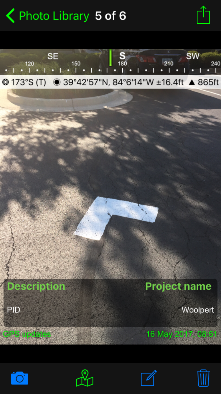
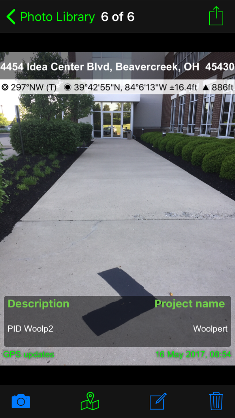
I lean more towards using Solocator I like how GPS data is displayed and can include project information on the photo.
I then use these photos taken with other Geotaging/ GeoStamping app and add them into Collector through attachments. This process gets the photos and GPS information I want but its not an efficient process. Collecting hundreds of points and multiple photos for each one is very time consuming when you have to swap back and forth between apps. It has also been my experience with a cell phone of tablet, when your using Collector it runs down the battery the more apps you have running.
You must be a registered user to add a comment. If you've already registered, sign in. Otherwise, register and sign in.