- Home
- :
- All Communities
- :
- Products
- :
- ArcGIS Network Analyst
- :
- ArcGIS Network Analyst Questions
- :
- Re: How do I determine the maximum route distance ...
- Subscribe to RSS Feed
- Mark Topic as New
- Mark Topic as Read
- Float this Topic for Current User
- Bookmark
- Subscribe
- Mute
- Printer Friendly Page
How do I determine the maximum route distance to create a service area containing a given total number of route miles?
- Mark as New
- Bookmark
- Subscribe
- Mute
- Subscribe to RSS Feed
- Permalink
I wish to determine the route length from a given location which will create a service area containing a given total distance of routes. For example, I wish to create a service area containing 20 miles of total road length. What is the route length from a given location that would create this service area?
- Mark as New
- Bookmark
- Subscribe
- Mute
- Subscribe to RSS Feed
- Permalink
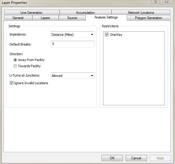
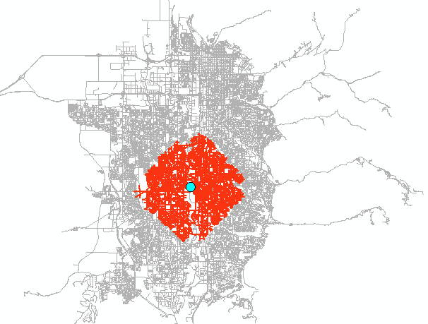
I just created one with a 5 mile default break. 20 is too big for my area of operation. Analysis Settings: Default Breaks. Is this what you are looking for?
- Mark as New
- Bookmark
- Subscribe
- Mute
- Subscribe to RSS Feed
- Permalink
Service area analysis—Help | ArcGIS for Desktop
The service area will be produced outwards from an origin point, hence, if you are using distance as your criteria, the shape of the service area will reflect the road traversal distance, which in your case, you can specify when setting up your criteria.
- Mark as New
- Bookmark
- Subscribe
- Mute
- Subscribe to RSS Feed
- Permalink
Thanks Dan,
But I think this does not answer my question, The following is a post from Joe in which I try to better explain my request:\
Let me try to clarify. I want to know what unique distance one would need to travel (along all possible routes) to create a service area containing a routes whose sum of is equal to a set number.
In this case, the route distance is what I am seeking. What is known is the maximum number of mile the service are may contain, and the location from which to start.
Does this help?
- Mark as New
- Bookmark
- Subscribe
- Mute
- Subscribe to RSS Feed
- Permalink
Thanks Joe,
But I don't think so. Let me try to clarify. I want to know what unique distance one would need to travel (along all possible routes) to create a service area containing a routes whose sum of is equal to a set number.
Does this help?
- Mark as New
- Bookmark
- Subscribe
- Mute
- Subscribe to RSS Feed
- Permalink
Joe,
I have an iterative process which may work, ( I haven't tried it yet) but it would be rather time consuming. One could create several service area "rings", and determine which two span the desired "route sum". With finer and finer ring increments, one could then determine the optimal ring. (within a given tolerance) Done in a script, it accelerate the process considerably. I regret I don't have these programming skills, though.
- Mark as New
- Bookmark
- Subscribe
- Mute
- Subscribe to RSS Feed
- Permalink
Joe,
I was more hoping for an already packaged tool, though...
- Mark as New
- Bookmark
- Subscribe
- Mute
- Subscribe to RSS Feed
- Permalink
Sorry Joe Borgione I am lost in the sum of sums... it sounds like the services area along all possible routes needs to sum to 20, then that value is partitioned into the number of possible routes from the origin. So effectively, you need a minimum spanning tree from an origin. The spanning tree total length must equal 20 which is then partitioned into branch lengths or equal distance... it is those branch end points that are to be used to spatially delineate the bounds of the pseudo-service area. I haven't got time to look at it now since I am working on einsum tools. ergo... the day of sums
- Mark as New
- Bookmark
- Subscribe
- Mute
- Subscribe to RSS Feed
- Permalink
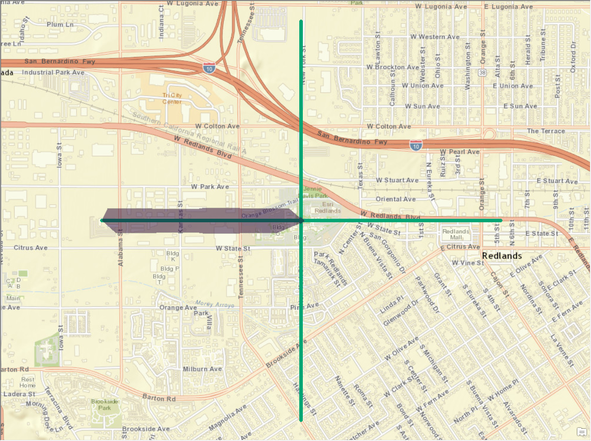
I just want to ensure that I'm understanding you correctly. Typically a service area represents all of the accessible edges within a specified limit. For example, let's consider the below image. In this image I've created a network with four lines that extend exactly one mile in each direction from the center.
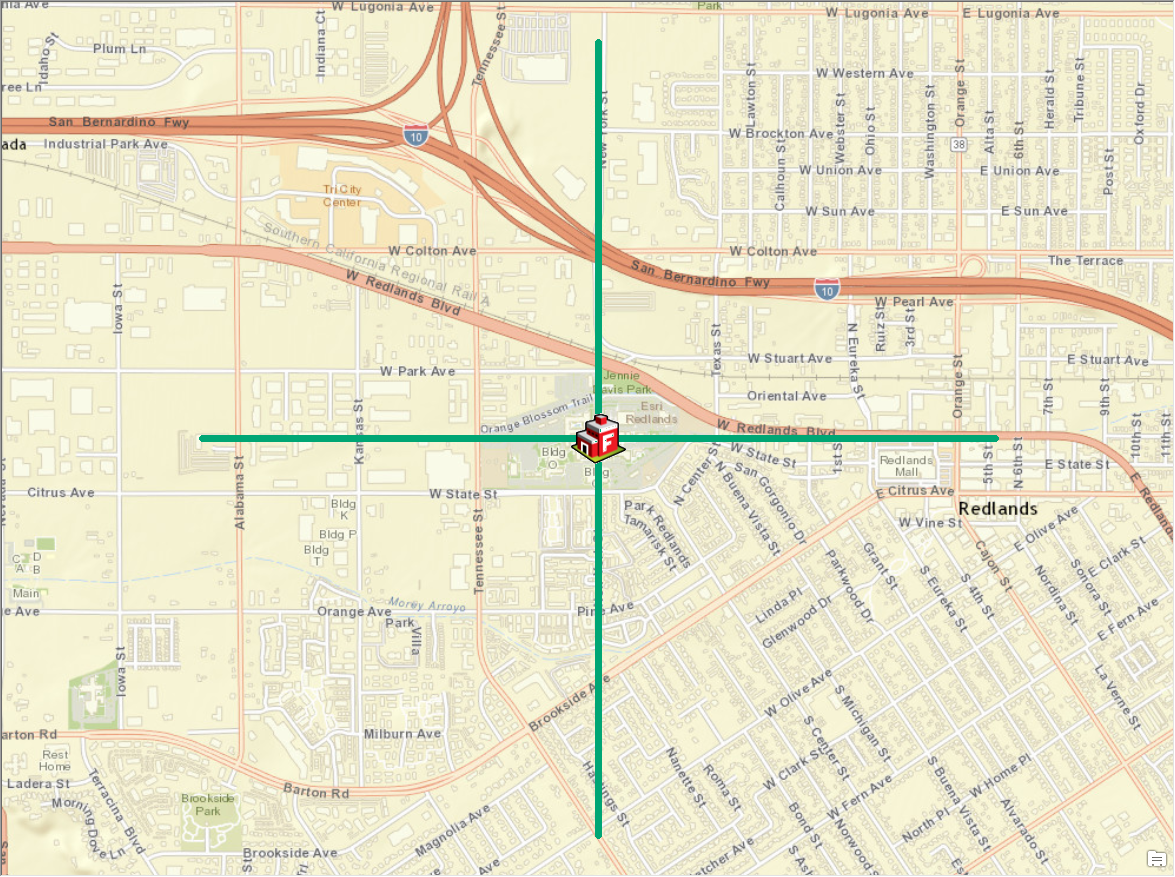
If I were to execute a one mile service area from the center of the network it would show that I can travel anywhere along the network.
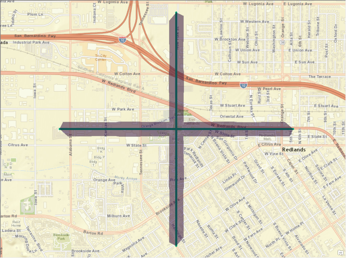
Due to the simplicity of this network, I would assume in your case that the above solution returned a total of four miles. In your case I'd assume that you'd want something that would allow you to input something like "create a service area where the sum of the lengths of the edges traveled equals one". In this simplified case where all is equal I know that I'd need to travel 0.25 miles along each edge to get the out-of-the-box tools to meet this requirement in the simplest manner.
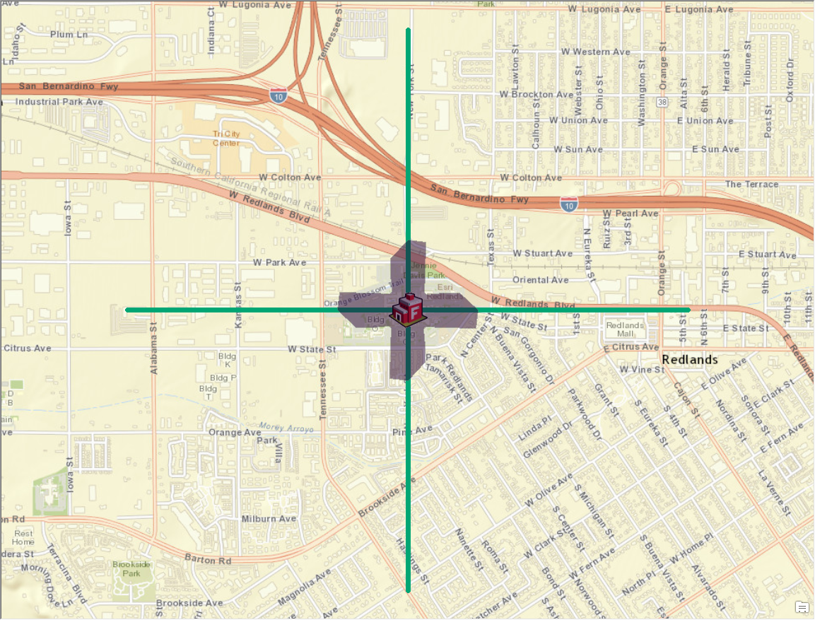
Is this what you're seeking, but in a more real world example where the solution will vary drastically? I don't believe there is anything out-of-the-box that would yield this solution, but if needed I could see how you could code in most of Esri's available APIs to determine this answer. Could you provide some more information about your business requirements (i.e. what you're hoping to gain from this analysis and why you've chosen this approach)? Also, do you already have an idea of what your needed solution would look like and how you're intending to handle the infinite number of possibilities that this solution would yield. For example, the following image would be just as correct as the above image if I only needed a result where the sum of the lengths of the edges traversed is one mile. Technically I could distribute the required total distance along any number of edges and the solution would be correct.
