- Home
- :
- All Communities
- :
- Products
- :
- ArcGIS Network Analyst
- :
- ArcGIS Network Analyst Questions
- :
- Re: Determine candidate points
- Subscribe to RSS Feed
- Mark Topic as New
- Mark Topic as Read
- Float this Topic for Current User
- Bookmark
- Subscribe
- Mute
- Printer Friendly Page
Determine candidate points
- Mark as New
- Bookmark
- Subscribe
- Mute
- Subscribe to RSS Feed
- Permalink
Hi. I'd like to know if it is possible to find optimal location with the location-allocation tool in ArcGIS Pro if I don't have any candidate points?
I do a research for potential locations of mobility hubs where the big hubs are located closed close to subway and train stations (I used a weighted analysis to find these locations). Now I would like to determine the small stations which should lay between those big hubs. As an influence value I want to use the population density.
Thank you.
- Mark as New
- Bookmark
- Subscribe
- Mute
- Subscribe to RSS Feed
- Permalink
From the tutorial
Choose the best location with Location-Allocation—ArcGIS Pro | Documentation
They use surrogate variables to represent potential demand (TractCentroids, ExistingStores, CompetitorStores)
Do you have potentially similar data?
... sort of retired...
- Mark as New
- Bookmark
- Subscribe
- Mute
- Subscribe to RSS Feed
- Permalink
You can use many techniques to generate "potential" candidates. One way I create these is to place a point on every street that is in your study area and then select from them, either randomly or using other spatial analysis techniques.
Assuming you have a street feature class in your study area, use the GP tool Feature To Point with the INSIDE option to create one point per street.
Feature To Point (Data Management)—ArcGIS Pro | Documentation
This create a lot of points. You can select, say 100 points, randomly using the Create Random Feature using the point feature layer as the constraining layer.
Create Random Points (Data Management)—ArcGIS Pro | Documentation
Or you can can buffer (or drive time polygons) your hubs to create zones where you do/don't want to place your locations and select from the street points.
Of course you can get census tract population data and further weight these points. So, there are lots of ways to make value added data by doing standard GIS operations like overlay.
Jay Sandhu
- Mark as New
- Bookmark
- Subscribe
- Mute
- Subscribe to RSS Feed
- Permalink
Thank you for your answer and sorry I am writing now.
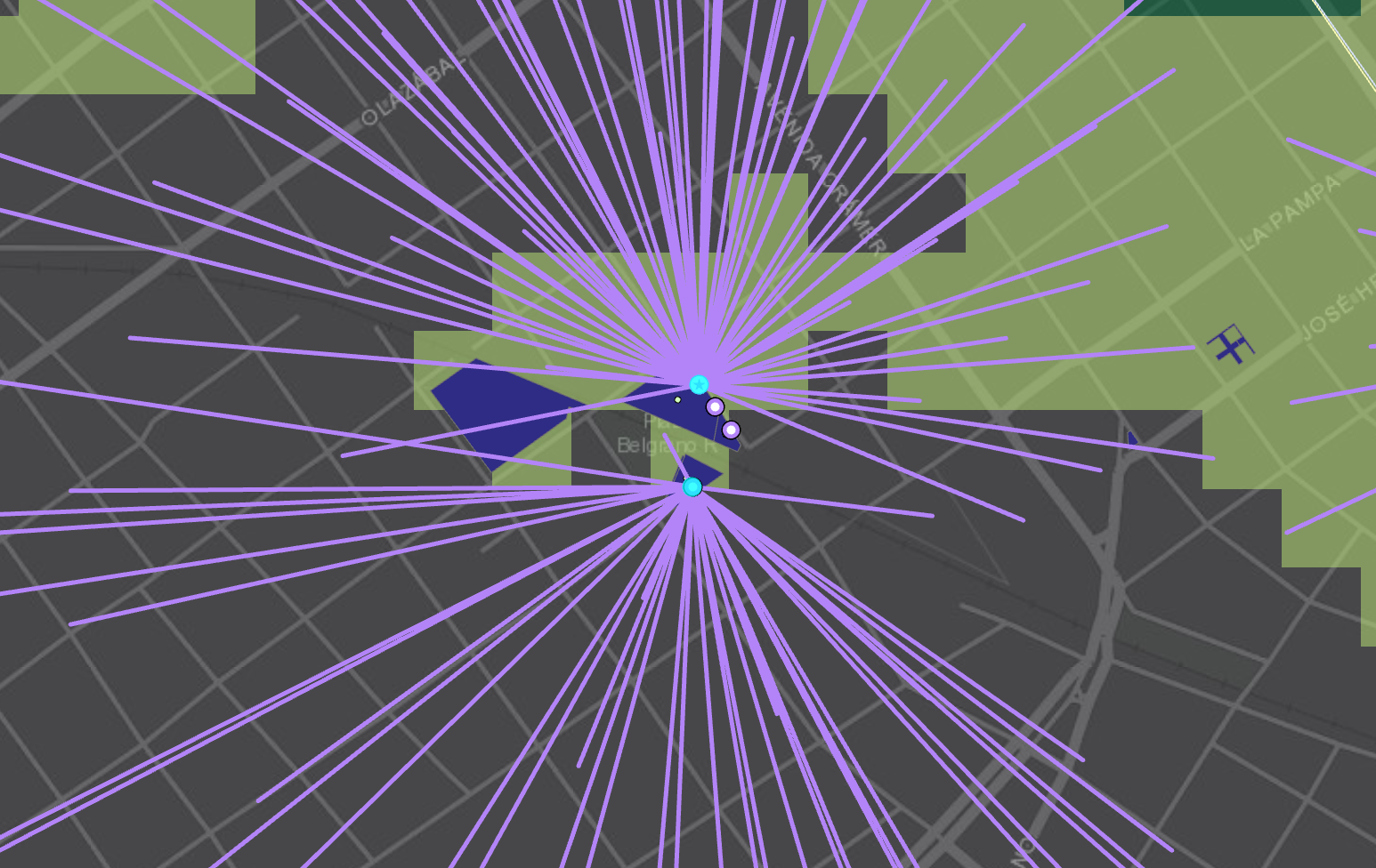
I actually determined the points other way around. I first used the spatial analyst with a weighted overlay to figure out which areas are of high demand and then I selected points (feature to point for parks and parking lots) within this high demand areas. My problem now is that I want to have a certain distance between my chosen facilities when using location allocation.
Do you think my approach was way to complicated with spatial analyst and then network analyst? In my opinion using weighted overlay to determine the high demand areas was more accurate, especially when playing around with the different weights.
Thanks
