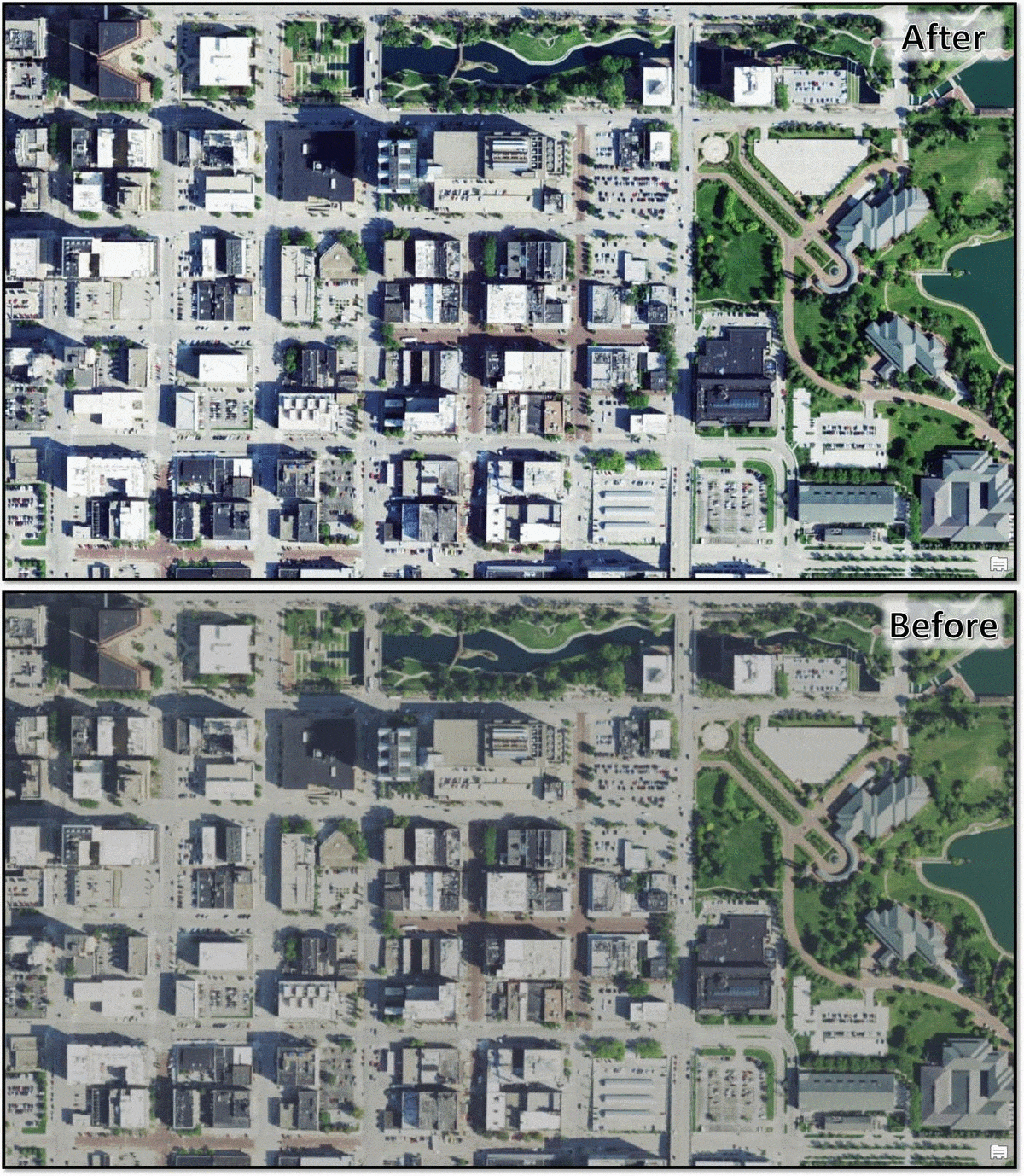
NAIP imagery has long been available in ArcGIS Living Atlas as a dynamic image service, enabling image analysis on the 4-band source imagery dating back to 2010. However, for those who wish to leverage the imagery for visualization, the latest NAIP imagery has been optimized for display quality and performance in the form of a new tile layer.
On top of that, the NAIP imagery has been enhanced to provide the best results. See the before and after below:

In addition, the metadata display has been improved, meaning you have instant access to the source, acquisition date, accuracy, resolution and more. All available with a single click.
For more info see this blog article by @RobertWaterman : Fast and Simple NAIP Imagery