- Home
- :
- All Communities
- :
- Developers
- :
- JavaScript Maps SDK
- :
- JavaScript Maps SDK Questions
- :
- Streets intersection finder
- Subscribe to RSS Feed
- Mark Topic as New
- Mark Topic as Read
- Float this Topic for Current User
- Bookmark
- Subscribe
- Mute
- Printer Friendly Page
Streets intersection finder
- Mark as New
- Bookmark
- Subscribe
- Mute
- Subscribe to RSS Feed
- Permalink
is there a streets intersection finder (geocoder) as in google map in the 3.12 API?
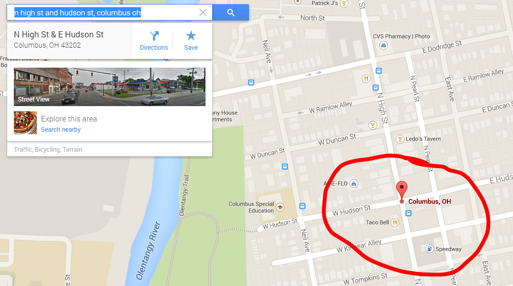
I am looking for something similar as on google map where the user types in two streets names and locate the intersection point:
ex: n high st and hudson st,
- Mark as New
- Bookmark
- Subscribe
- Mute
- Subscribe to RSS Feed
- Permalink
See this Locator | API Reference | ArcGIS API for JavaScript .
The list of fields included in the returned result set. This list is a comma delimited list of field names. If you specify the shape field in the list of return fields, it is ignored. For non-intersection addresses you can specify the candidate fields as defined in the geocode service. For intersection addresses you can specify the intersection candidate fields.
- Mark as New
- Bookmark
- Subscribe
- Mute
- Subscribe to RSS Feed
- Permalink
It's better to post the AMD link 
- Mark as New
- Bookmark
- Subscribe
- Mute
- Subscribe to RSS Feed
- Permalink
The Geocoder dijit will do this. You separate the street names with an ampersand (&) character.