- Home
- :
- All Communities
- :
- Developers
- :
- JavaScript Maps SDK
- :
- JavaScript Maps SDK Questions
- :
- Re: JS 4.6 - geometryEngine.geodesicLength. Is thi...
- Subscribe to RSS Feed
- Mark Topic as New
- Mark Topic as Read
- Float this Topic for Current User
- Bookmark
- Subscribe
- Mute
- Printer Friendly Page
JS 4.6 - geometryEngine.geodesicLength. Is this bug?
- Mark as New
- Bookmark
- Subscribe
- Mute
- Subscribe to RSS Feed
- Permalink
Hello. I'm working on a create measuring geaodesic area and length.
I have no any problem with calculate geodesicarea. But im getting below error message when i send a lineGraphic and unittype to geodesiclength.
Notice: myLineGraphic has no problem because i can see line graphic on map
var myLength = geometryEngine.geodesicLength(myLinegraphic, "kilometers");
Error Message:
Uncaught type error: d.getcacheValue is not a function (geometryengine.js:11);
Am i doing wrong something or is this a bug?.
Thanks inadvance
- Mark as New
- Bookmark
- Subscribe
- Mute
- Subscribe to RSS Feed
- Permalink
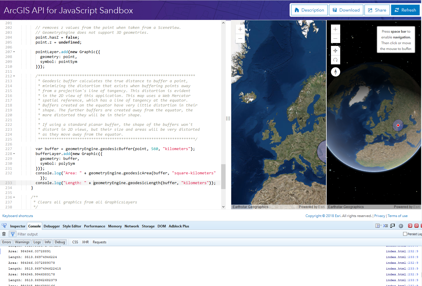
That function works properly in the geometryEngine sample GeometryEngine - geodesic buffers | ArcGIS API for JavaScript 4.6

- Mark as New
- Bookmark
- Subscribe
- Mute
- Subscribe to RSS Feed
- Permalink
Thanks for sample.
Can you add a sample for length (kilometers) for linegraphic please?
i'm drawing line graphic by mouse.
Is my code wrong? I just send a linegraphic and "kilometers" parameters.
- Mark as New
- Bookmark
- Subscribe
- Mute
- Subscribe to RSS Feed
- Permalink
ok. i found solution. This is works. send graphics.geometry instead of graphic.
Thanks.