Good afternoon. I would like to have a map as shown below...
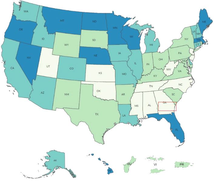
...with the geographical integrity of the States and Territories below the map intact.
I understand that I can create a div/container to hold the contiguous US map and then divs/containers below to hold the individual States and Territories, with the extent of the maps within those divs/containers being centered on the individual locations.
First, is that approach correct?
Secondly, if it is, when I try to execute that, I am not able to get the maps to display, and there is no error, after I do some classification of the data in the map service.
I have attached some sample code. Any help with this is sincerely appreciated.
Thanks...Chris