- Home
- :
- All Communities
- :
- Products
- :
- ArcGIS Enterprise
- :
- ArcGIS Enterprise Questions
- :
- “Shift” tool has performance issue,
- Subscribe to RSS Feed
- Mark Topic as New
- Mark Topic as Read
- Float this Topic for Current User
- Bookmark
- Subscribe
- Mute
- Printer Friendly Page
- Mark as New
- Bookmark
- Subscribe
- Mute
- Subscribe to RSS Feed
- Permalink
“Shift” tool has performance issue,
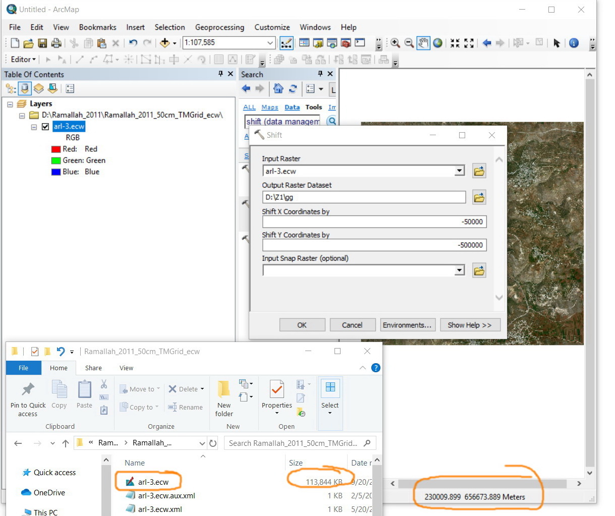
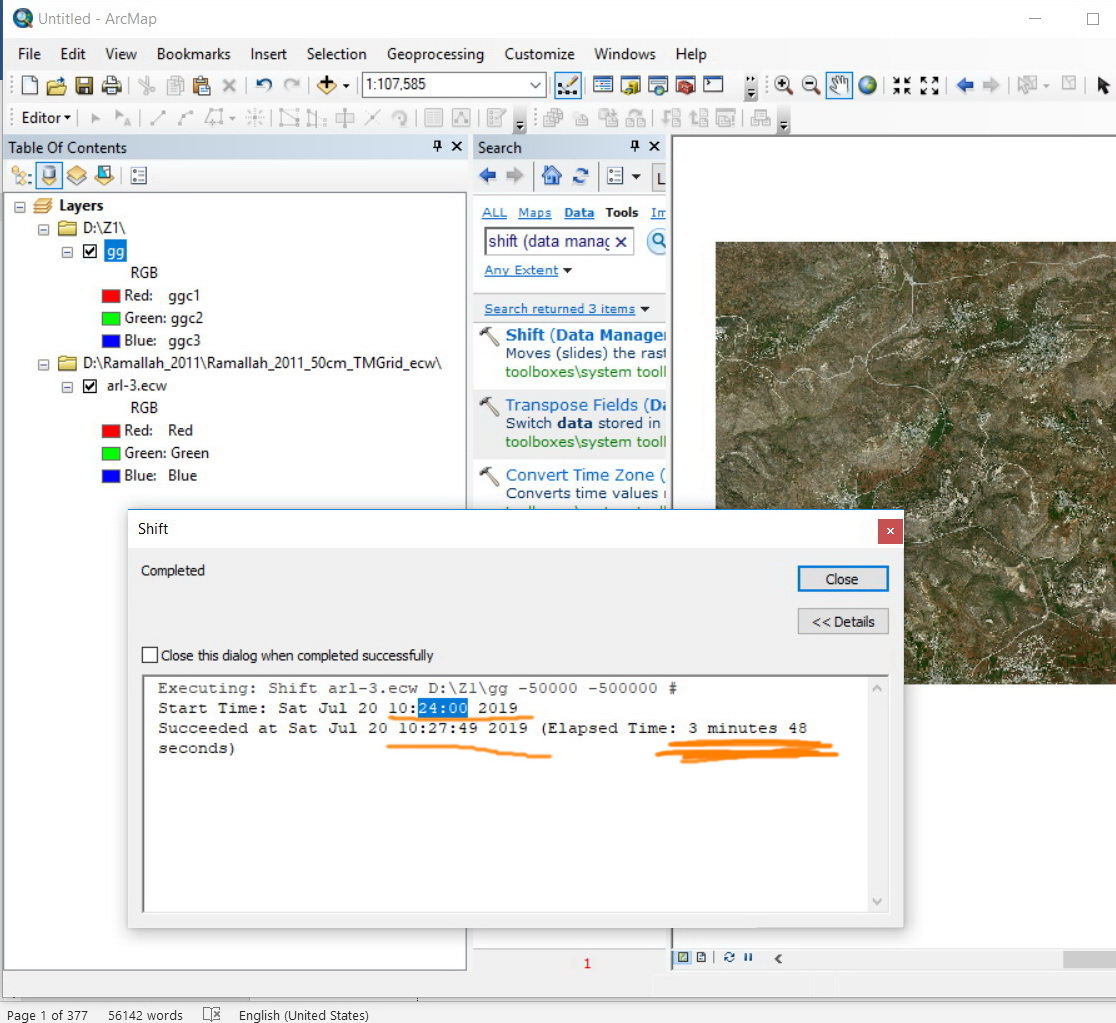
I observed that the “Shift” tool has performance issue. Is it normal that a raster of 113 MB takes around 4 minutes in order to be shifted (-50000, -500000)? My machine is with 4 Cores X 64GB RAM
Is there any recommendation to increase the performance of this tool?
Jamal Numan
Geomolg Geoportal for Spatial Information
Ramallah, West Bank, Palestine
Solved! Go to Solution.
- Mark as New
- Bookmark
- Subscribe
- Mute
- Subscribe to RSS Feed
- Permalink
Hi Dan,
I got another issue regarding the coordinates.
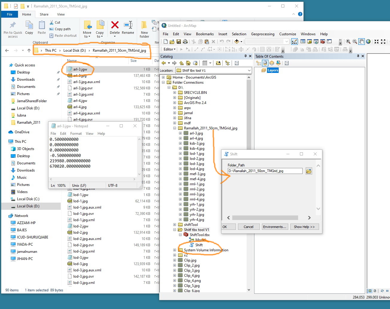
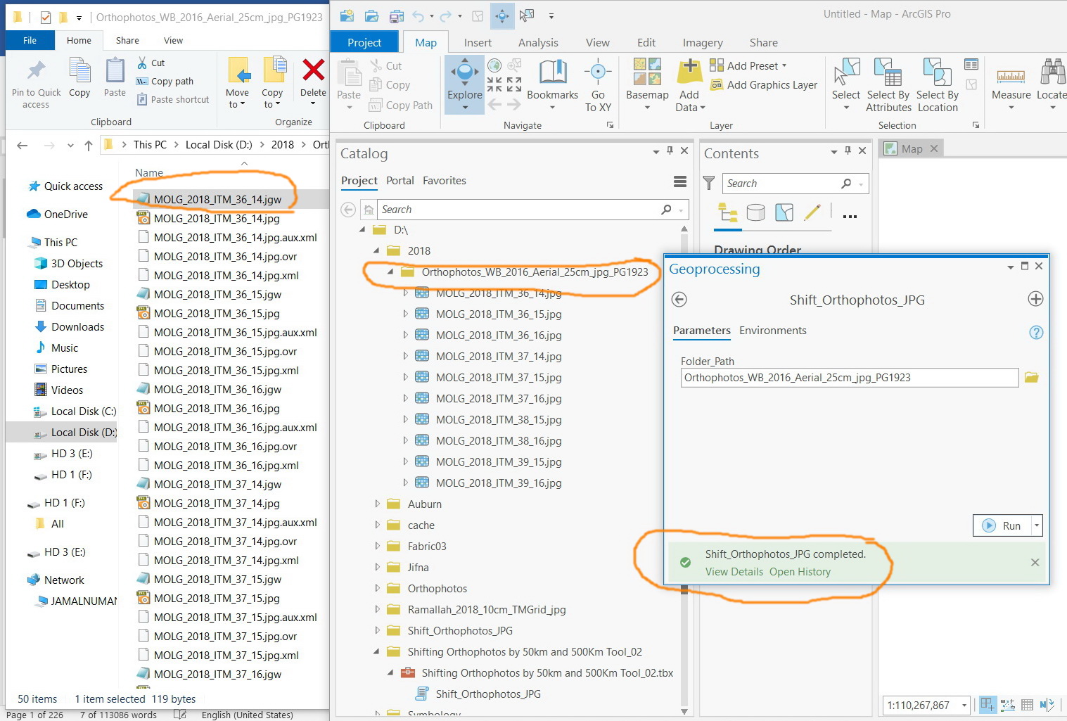
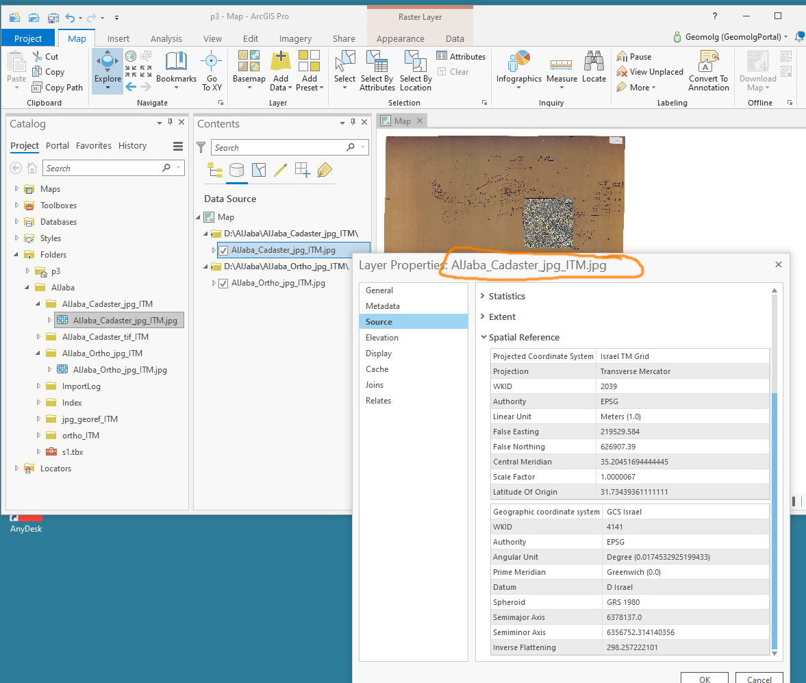
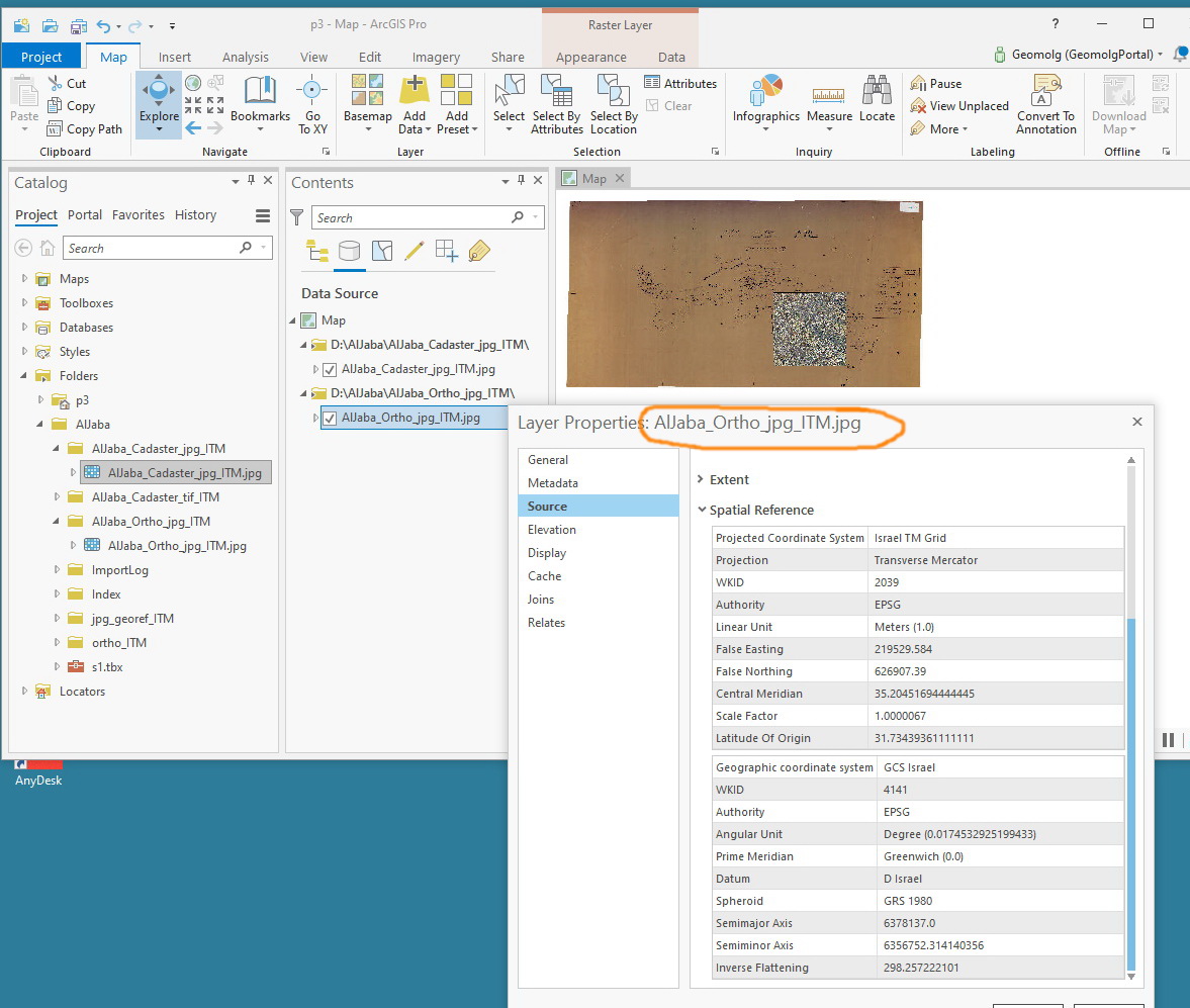
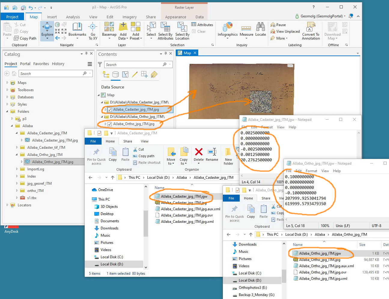
In the screenshots below, I got two rasters with same coordinates system (GCS Israel), but with significant difference in the world file. However, the two rasters are almost on the same place!
Is it all about the jgw file? Do I need to consider the content of the xml and aux.xml files?
Jamal Numan
Geomolg Geoportal for Spatial Information
Ramallah, West Bank, Palestine
- Mark as New
- Bookmark
- Subscribe
- Mute
- Subscribe to RSS Feed
- Permalink
looks like one was in a projected coordinate system and the other wasn't
- Mark as New
- Bookmark
- Subscribe
- Mute
- Subscribe to RSS Feed
- Permalink
Thanks Dan.
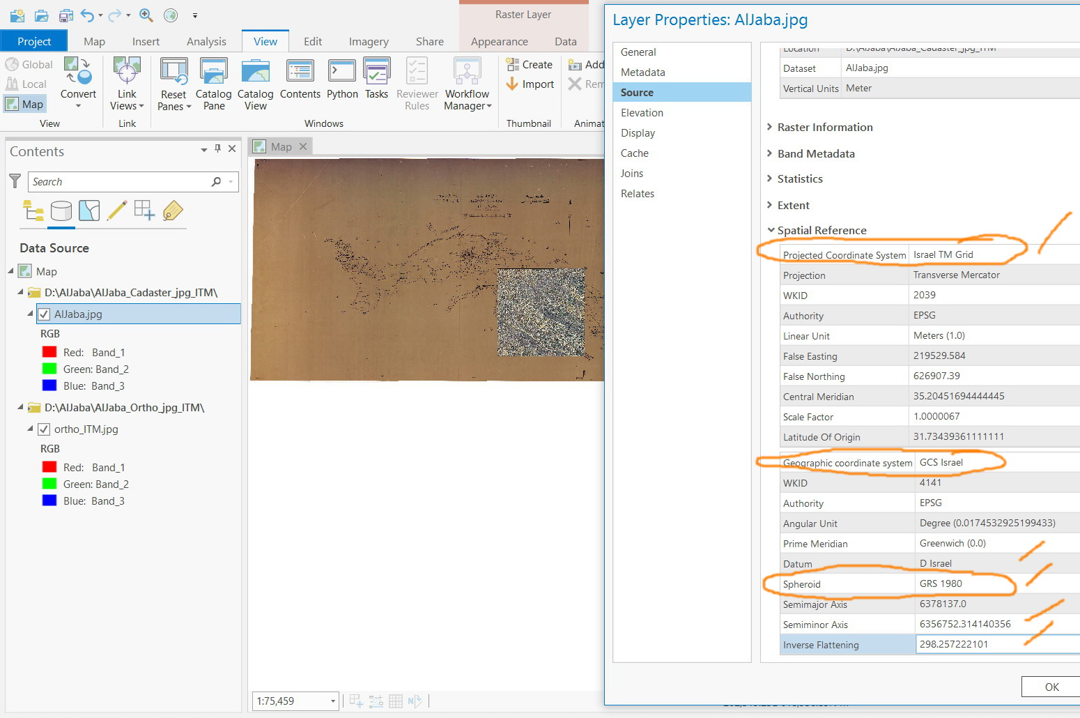
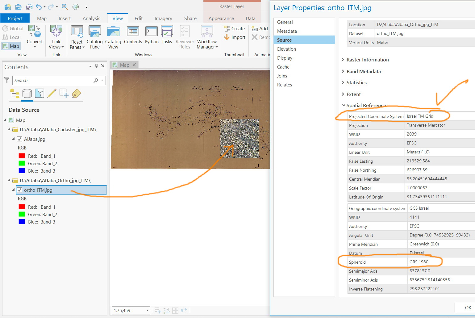
Both rasters have “Israel TM Grid” as their projected coordinate system (screenshots below). Nevertheless, their jgw file has significant difference.
What other issues I need to consider?
Jamal Numan
Geomolg Geoportal for Spatial Information
Ramallah, West Bank, Palestine
- Mark as New
- Bookmark
- Subscribe
- Mute
- Subscribe to RSS Feed
- Permalink
It could have been 'defined' that way (ie the Define Projection tool). It doesn't mean it is that coordinate system. The only way you can tell is to figure out from the actual coordinates whether it is in decimal degrees or a projected coordinate system. Just use the *.jpg and *.jpw, and copy them to a new folder. Load them in an empty map, if the coordinates look like decimal degrees, then 'Define' them as such. If you need them projected, the use the Project Tool and re-examine the *.jpw. From your previous post, the ...casdastr… file looks like the longitude is near 0 and the latitude is near 20 with a cell size of 0.0025 degrees. If the xml and aux files or the coordinate system says ITM, then it was Defined wrong
- Mark as New
- Bookmark
- Subscribe
- Mute
- Subscribe to RSS Feed
- Permalink
Thank you very much for your valuable analysis for the issue.
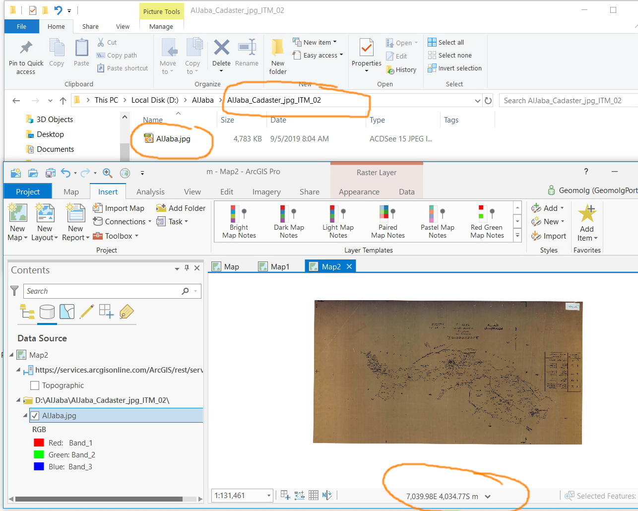
1-I displayed the cadaster jpg raster in its own
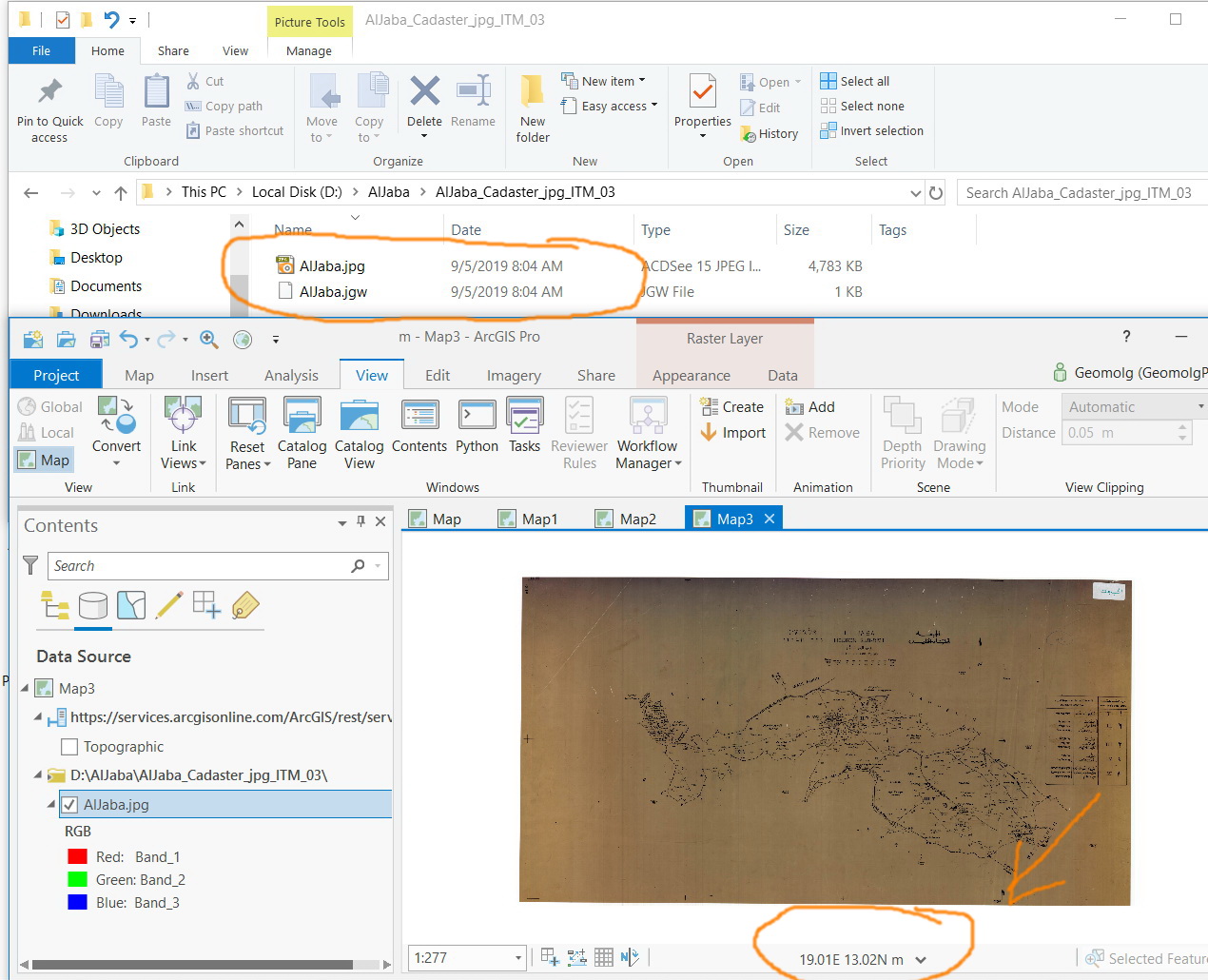
2-Then I displayed it with its jgw
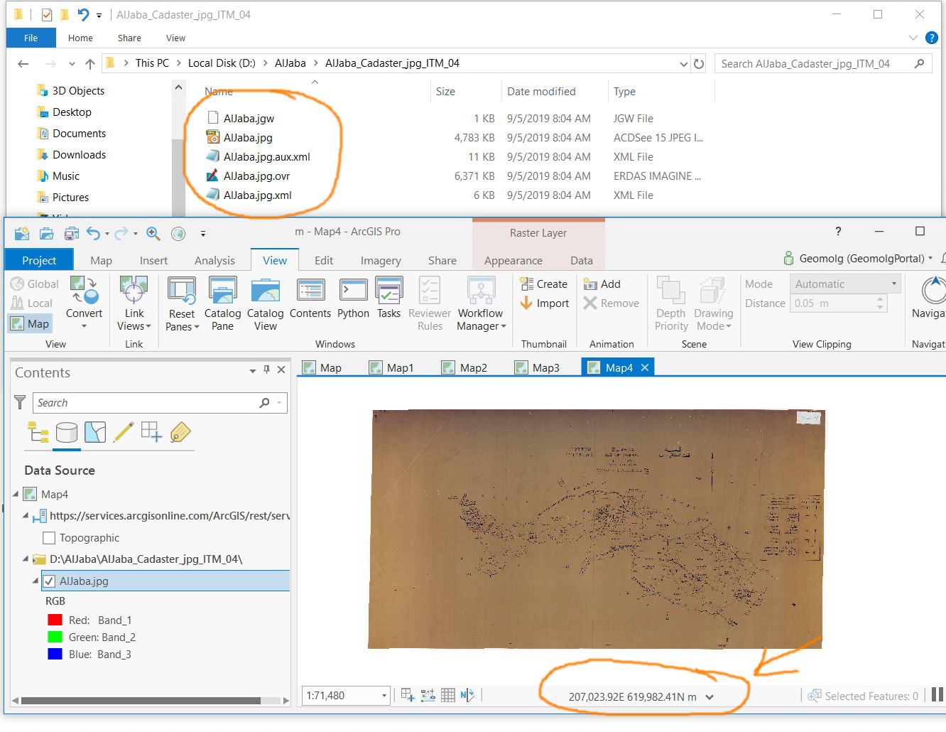
3-next I displayed it with all: jgw, xml and aux.xml
Conclusion:
The jpg raster with its jgw appears not to be in the correct location. This means that the original georeferencing of the cadaster raster has an issue despite the fact that the rater with its jgw, xml and aux.xml drags it to the correct position.
Jamal Numan
Geomolg Geoportal for Spatial Information
Ramallah, West Bank, Palestine
- « Previous
- Next »
- « Previous
- Next »
