Hi,
I'm having an issue with ArcGIS Server (10.3.1) where it wont cache the east side of Canada.
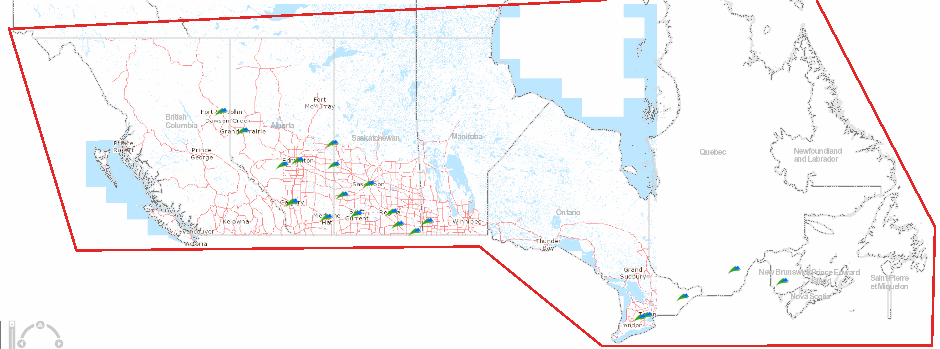
The map projection is ..
WGS_1984_Web_Mercator_Auxiliary_Sphere
WKID: 3857
The extent used is pretty much something like the red line. I've played around with a few variations (using province polygons, changing the projection) nothing seems to fix the problem.
Any ideas?





