- Home
- :
- All Communities
- :
- Products
- :
- ArcGIS Reality
- :
- ArcGIS Drone2Map
- :
- ArcGIS Drone2Map Questions
- :
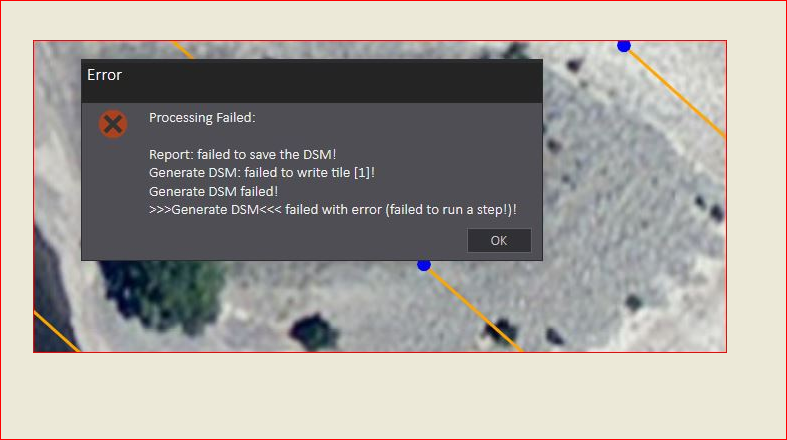
- Drone2Map Error Processing Failed . Any ideas?...
- Subscribe to RSS Feed
- Mark Topic as New
- Mark Topic as Read
- Float this Topic for Current User
- Bookmark
- Subscribe
- Mute
- Printer Friendly Page
Drone2Map Error Processing Failed . Any ideas?
- Mark as New
- Bookmark
- Subscribe
- Mute
- Subscribe to RSS Feed
- Permalink
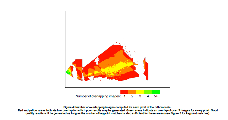
It may be that you didn’t fly the mission with enough overlap everywhere.
- 75% frontal and 60% side overlap in general cases.
- 85% frontal and 70% side overlap for forests, dense vegetation and fields.
- 85% frontal overlap for single track corridor mapping. Use 60% side overlap if the corridor is acquired using two flight lines.
Open the processing report from: "C:\Users\<user>\Documents\Drone2Map Projects\<project>\report\ProcessingReport.pdf" (There is also a button on the ribbon in Drone2Map to open this report).
If you look in this report you can see if there is enough overlap. Look for the diagram that looks like:

You want to see all Green in this image. (This one is from a project with not enough overlap).
- Mark as New
- Bookmark
- Subscribe
- Mute
- Subscribe to RSS Feed
- Permalink
James – thanks for the response. Turns out our IT Admin was putting constraints on my PC system, not allowing writing privileges etc..
Thanks again
Chris
