- Home
- :
- All Communities
- :
- Products
- :
- ArcGIS Data Reviewer
- :
- ArcGIS Data Reviewer Questions
- :
- Re: ArcGIS Data Reviewer Raster Validation Tools B...
- Subscribe to RSS Feed
- Mark Topic as New
- Mark Topic as Read
- Float this Topic for Current User
- Bookmark
- Subscribe
- Mute
- Printer Friendly Page
ArcGIS Data Reviewer Raster Validation Tools Beta Now Available
- Mark as New
- Bookmark
- Subscribe
- Mute
- Subscribe to RSS Feed
- Permalink
We are pleased to announce that the ArcGIS Data Reviewer Raster Validation Tools are now available through Esri’s Beta Community. These tools represent a growing series of raster validation capabilities in Data Reviewer, and are intended primarily for checking elevation rasters.
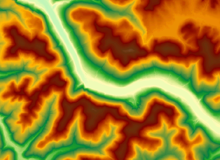
Using these tools you can identify errors, inconsistencies, or areas of concern where a given elevation raster does not meet data quality requirements. Optionally, results can be stored and managed using Data Reviewer to track and report the progress of work in fixing errors. Please note that participation in the beta does not require installation of ArcGIS Data Reviewer.
Please visit the Esri Beta Community for more details and to sign up for the beta - http://bit.ly/DRQCtools
Download and install the tools, then run through the provided tutorial. We look forward to your feedback!
- Mark as New
- Bookmark
- Subscribe
- Mute
- Subscribe to RSS Feed
- Permalink
Thanx for sharing!