- Home
- :
- All Communities
- :
- Products
- :
- ArcGIS Dashboards
- :
- ArcGIS Dashboards Questions
- :
- Re: Tracking a vehicle using ArcGIS Operations Das...
- Subscribe to RSS Feed
- Mark Topic as New
- Mark Topic as Read
- Float this Topic for Current User
- Bookmark
- Subscribe
- Mute
- Printer Friendly Page
Tracking a vehicle using ArcGIS Operations Dashboard
- Mark as New
- Bookmark
- Subscribe
- Mute
- Subscribe to RSS Feed
- Permalink
Tracking a vehicle using ArcGIS Operations Dashboard
The following tutorial “Monitor and respond to activities and events” which was provided by esri for the Operations Dashboard for ArcGIS
http://doc.arcgis.com/en/operations-dashboard/windows-desktop/user/monitor-and-respond-to-events.htm
A section descripts how to Follow a vehicle as says “You can see the ambulances moving around the map as they drive around the city. During an operation, you may need to track where a vehicle is, keeping an eye on its progress by following the vehicle on the map. The followed vehicle flashes on the map to enhance its visibility, and the map remains centered on the followed vehicle.”
But the question here how to let the ambulance driver update his location “the feature point” doses he needs to do it manually like adding a point where ever he goes just to let the user who is following the vehicle on the dashboard updated ??
Is there a method to let the ambulance “the feature point” moves automatically on the map when the ambulance moves such as the GPS. Do the ambience needs any hardware to be installed on it or this can be done using an ordinary Mobile device which has a GPS activated and connected to ArcGIS collector?
Best regards,
Ahmad Saleh
Solved! Go to Solution.
Accepted Solutions
- Mark as New
- Bookmark
- Subscribe
- Mute
- Subscribe to RSS Feed
- Permalink
In the web map details, click 'Edit' and then scroll down to 'Properties'. Make sure you have 'Track location every' checked.
- Mark as New
- Bookmark
- Subscribe
- Mute
- Subscribe to RSS Feed
- Permalink
Hi Ahmad,
If the ambulance has Collector and their mobile GPS activated, this can be accomplish if a Location Tracking layer is added to the web map. Take a look at the following help document:
- Mark as New
- Bookmark
- Subscribe
- Mute
- Subscribe to RSS Feed
- Permalink
Hi Jake,
Thanks for the help, I have followed the document by creating an empty feature service in the AGOL and enabled tracking layer, but the point doesn’t moves as the ArcGIS collector holder moves.
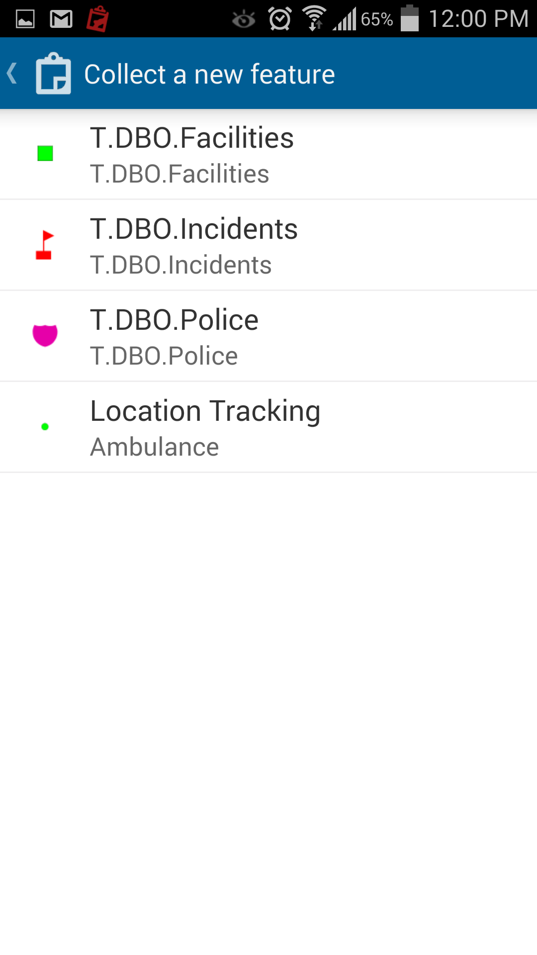
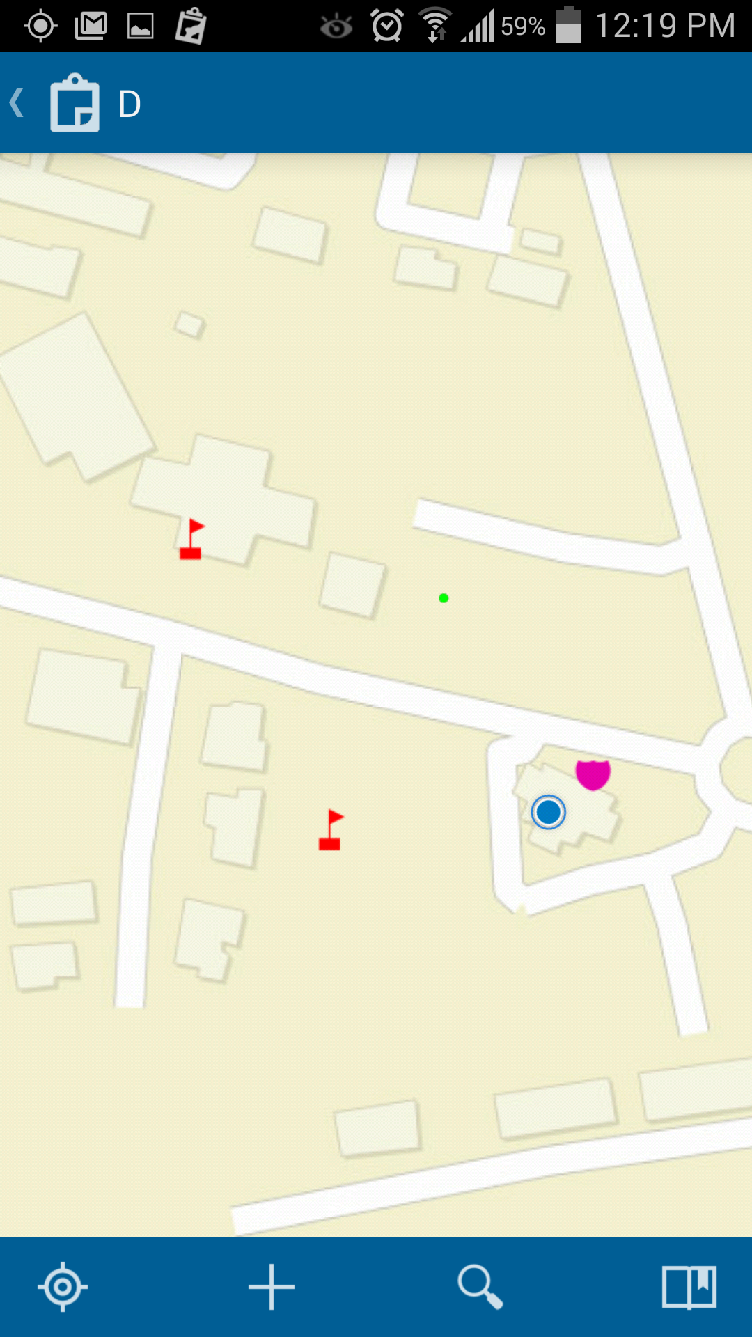
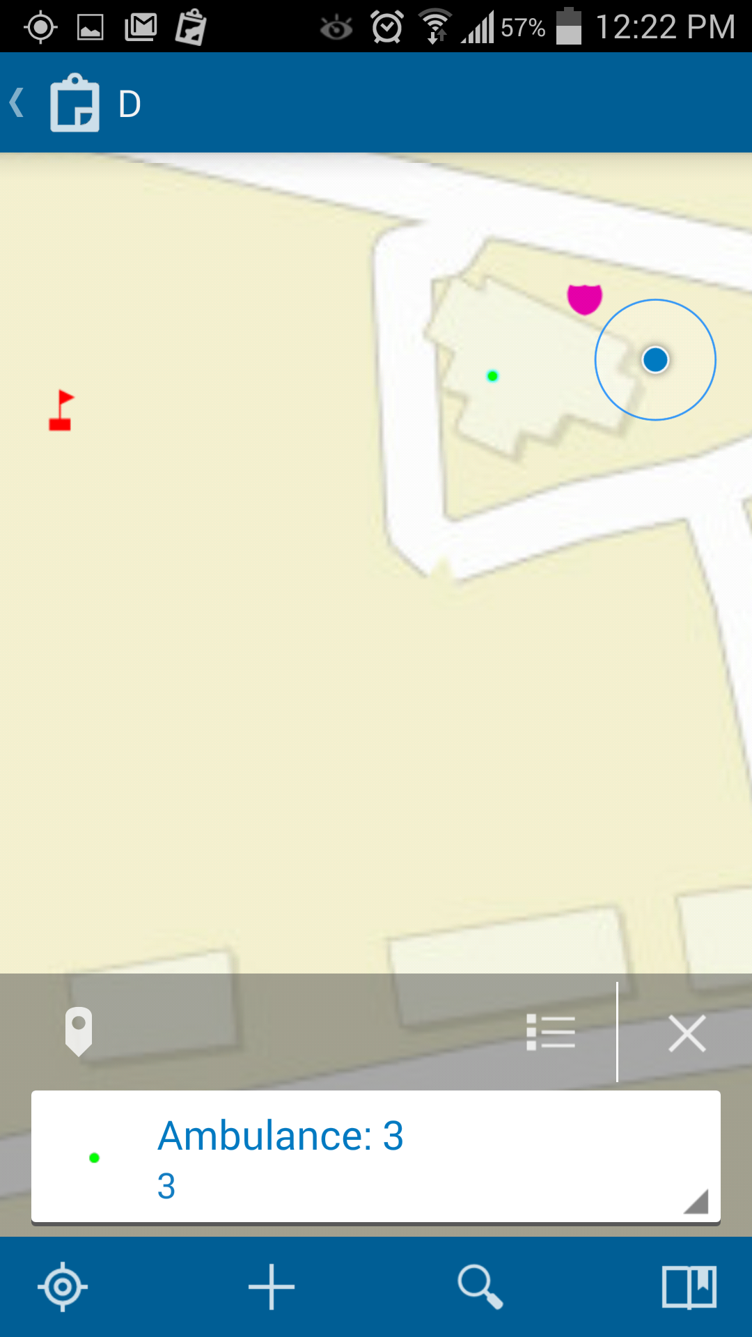
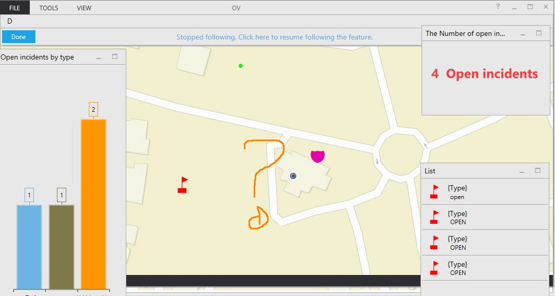
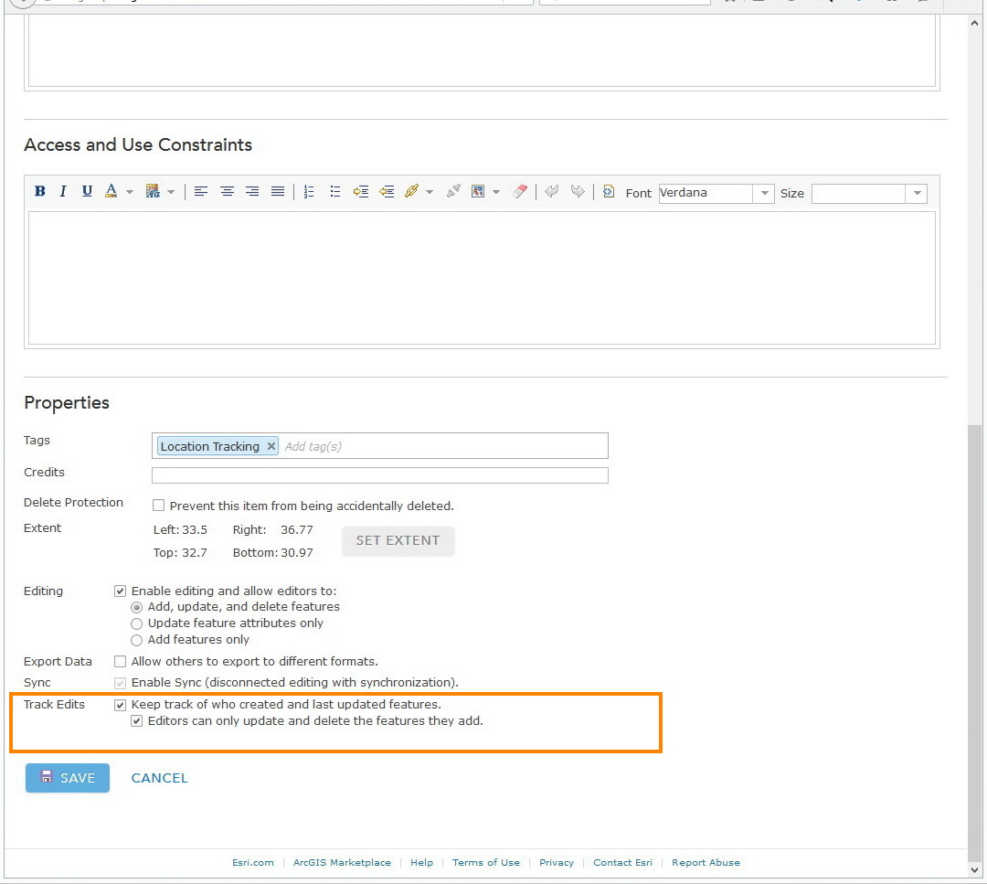
What might be the issue here !!!
Also is it possible to enable the tacking on a feature service which was published Using the ArcGIS server, or enable tacking is available with services which is published using AGOL
Many Thanks,
Ahmad Saleh
- Mark as New
- Bookmark
- Subscribe
- Mute
- Subscribe to RSS Feed
- Permalink
In the web map details, click 'Edit' and then scroll down to 'Properties'. Make sure you have 'Track location every' checked.
- Mark as New
- Bookmark
- Subscribe
- Mute
- Subscribe to RSS Feed
- Permalink
Hi Jake,
why it doesn’t shown in the properties of my web map ?
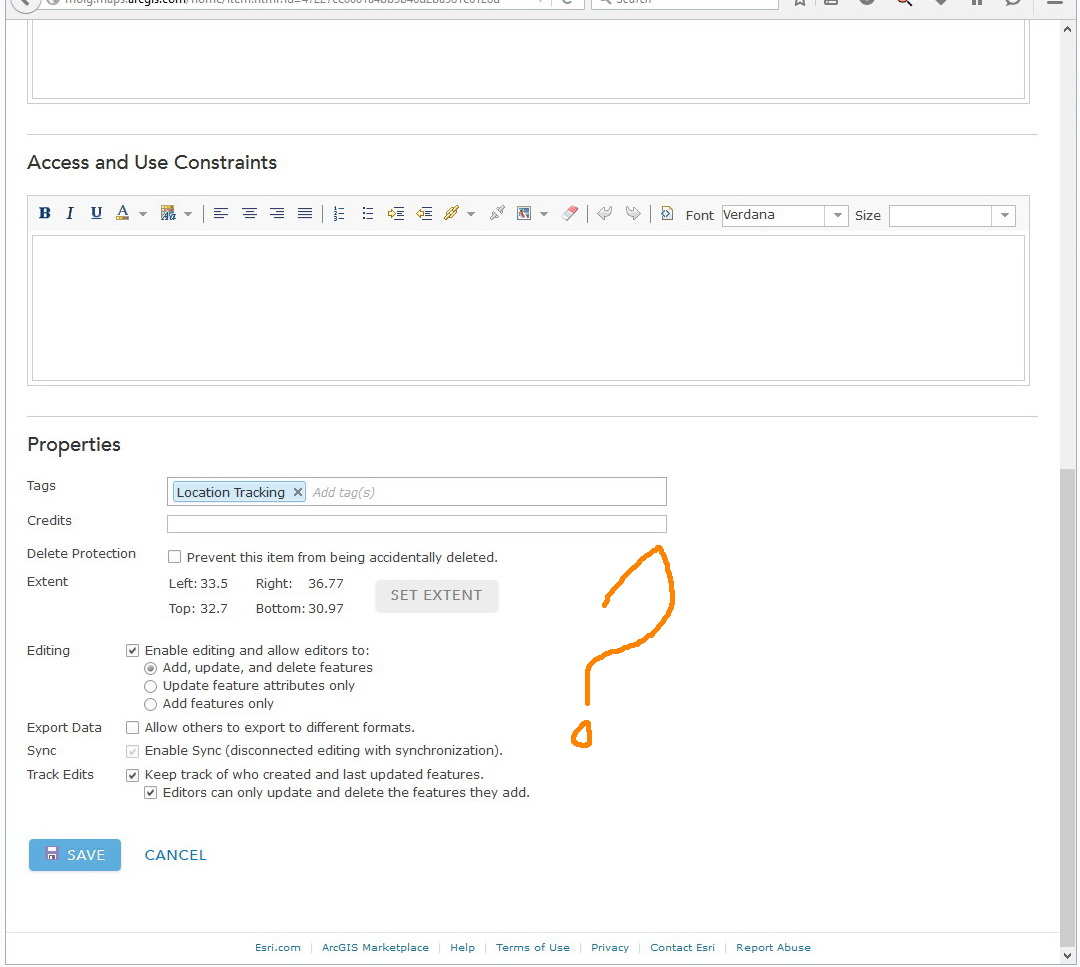
Many thanks,
Ahmad Saleh
- Mark as New
- Bookmark
- Subscribe
- Mute
- Subscribe to RSS Feed
- Permalink
It looks like you are in the properties of your feature layer. Go to the properites of your web map and you should see this option there.
- Mark as New
- Bookmark
- Subscribe
- Mute
- Subscribe to RSS Feed
- Permalink
Your right, my bad I was in the properties of the feature layer not the properties of the web map
Thanks,
Ahmad Saleh
- Mark as New
- Bookmark
- Subscribe
- Mute
- Subscribe to RSS Feed
- Permalink
Hi Jake,
The Collector keeps adding points every five minuets instead of updating the location of the same point every 5 min! is this the natural behavior. I assumed that the collector adds a single point for the user and then keeps moving it as the user moves in the field.
Is this possible to be done in the collector?
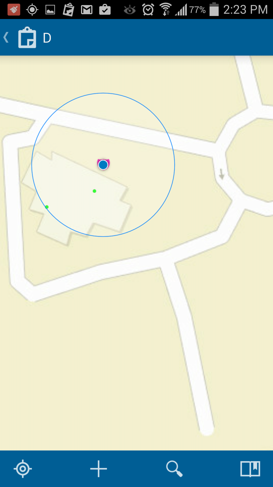
Best Regards,
Ahmad Saleh
- Mark as New
- Bookmark
- Subscribe
- Mute
- Subscribe to RSS Feed
- Permalink
This is the default behavior. It will provide a point at the given interval so that you can see where the field worker was at any given time they are using Collector. You would need to apply a filter/query within the web map/app to show the latest point. For example, you could query the date field.
- Mark as New
- Bookmark
- Subscribe
- Mute
- Subscribe to RSS Feed
- Permalink
Many thanks Jake for the help and the valuable information that you provided. Really appreciated.
Thanks,
Ahmad