Turn on suggestions
Auto-suggest helps you quickly narrow down your search results by suggesting possible matches as you type.
Cancel
- Home
- :
- All Communities
- :
- Products
- :
- ArcGIS Collector
- :
- ArcGIS Collector Questions
- :
- Re: Level download error
Options
- Subscribe to RSS Feed
- Mark Topic as New
- Mark Topic as Read
- Float this Topic for Current User
- Bookmark
- Subscribe
- Mute
- Printer Friendly Page
04-27-2018
01:08 AM
- Mark as New
- Bookmark
- Subscribe
- Mute
- Subscribe to RSS Feed
- Permalink
I have a webmap with custom basemap and features I am trying to download ready for client to use in field but keeping getting error.
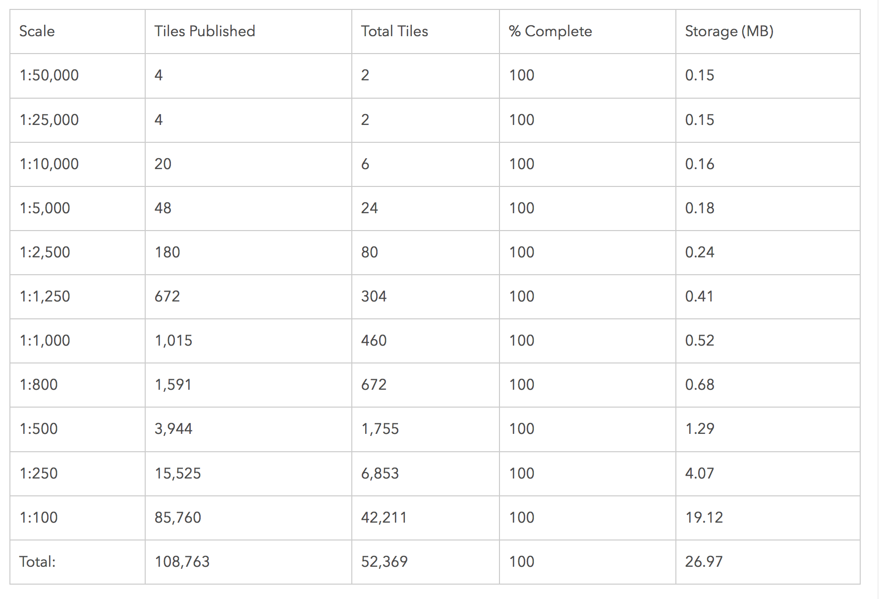
Error - Specified level id "0" is not within the min and max scale range
Below is scales for basemap created, any help
Solved! Go to Solution.
1 Solution
Accepted Solutions
by
Anonymous User
Not applicable
04-27-2018
07:05 AM
- Mark as New
- Bookmark
- Subscribe
- Mute
- Subscribe to RSS Feed
- Permalink
6 Replies
by
Anonymous User
Not applicable
04-27-2018
07:05 AM
- Mark as New
- Bookmark
- Subscribe
- Mute
- Subscribe to RSS Feed
- Permalink
04-28-2018
08:46 AM
- Mark as New
- Bookmark
- Subscribe
- Mute
- Subscribe to RSS Feed
- Permalink
Hi Dan, thanks for this can you tell me what level 0 is, I will cache again starting there but miss some levels out to save space?
by
Anonymous User
Not applicable
04-30-2018
06:18 AM
- Mark as New
- Bookmark
- Subscribe
- Mute
- Subscribe to RSS Feed
- Permalink
Level 0 for most tile packages starts at the global level. The amount of tiles generated should be minimal
04-30-2018
02:07 PM
- Mark as New
- Bookmark
- Subscribe
- Mute
- Subscribe to RSS Feed
- Permalink
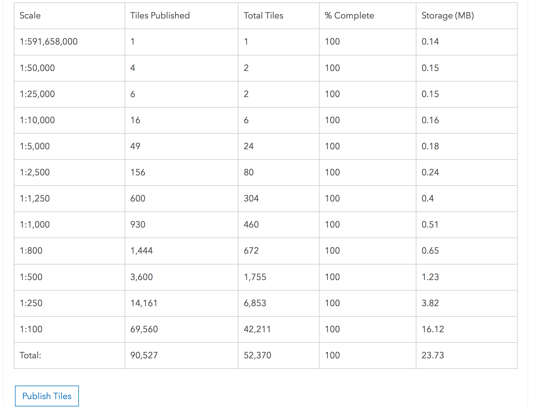
I added the top scale below in my tiling scheme, I still get same issue
by
Anonymous User
Not applicable
05-01-2018
08:31 AM
- Mark as New
- Bookmark
- Subscribe
- Mute
- Subscribe to RSS Feed
- Permalink
You will probably need to log a case with Esri Support so we can get a better grasp of your tiling scheme and the issue at hand.