- Home
- :
- All Communities
- :
- Products
- :
- ArcGIS CityEngine
- :
- ArcGIS CityEngine Questions
- :
- shape to model
- Subscribe to RSS Feed
- Mark Topic as New
- Mark Topic as Read
- Float this Topic for Current User
- Bookmark
- Subscribe
- Mute
- Printer Friendly Page
shape to model
- Mark as New
- Bookmark
- Subscribe
- Mute
- Subscribe to RSS Feed
- Permalink
I work with CityEngine for the first time and have no idea how to program. The tutorials weren't very helpful for me. I have a 3D Model of an archaeological site and want to use an Intervisibility analisys inside for the statues. I managed to import it as a shape but I fail to get a Model out of the 3dimensional shape and panalize it or defining viewpoints to import in ArcScene for the intervisiblity study.
Can anyone tell me what to do?
- Mark as New
- Bookmark
- Subscribe
- Mute
- Subscribe to RSS Feed
- Permalink
CityEngine integrates well with other Esri software such as ArcScene, especially through the Esri GDB format. You could export your geometry as a gdb and then import it into ArcScene to do your analysis.
- Mark as New
- Bookmark
- Subscribe
- Mute
- Subscribe to RSS Feed
- Permalink
Thank you for the reply. My problem however ist that first I have to "panalize" the model to do the study as shown in this video: Home | Esri Video in order to make the analysis and the rulefile can not be applicated on the shape I get but I need apparently a model.
- Mark as New
- Bookmark
- Subscribe
- Mute
- Subscribe to RSS Feed
- Permalink
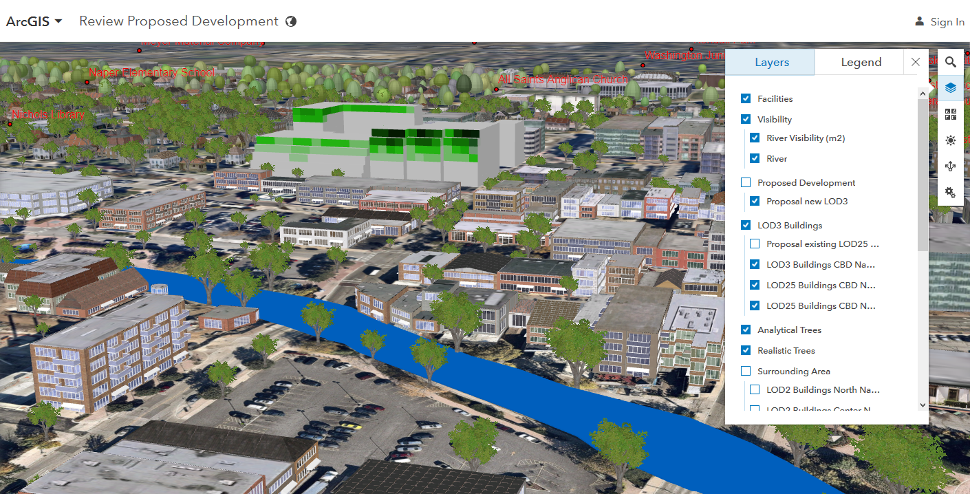
Thank you for the clarification.
The workflow you are referencing has been updated to integrate with ArcGIS Pro .
Review Proposed Developments | ArcGIS for Local Government
On this page you can find all requirements, workflow documentation and files including a new reference example.
There is also ArcGIS Online scene of the example: